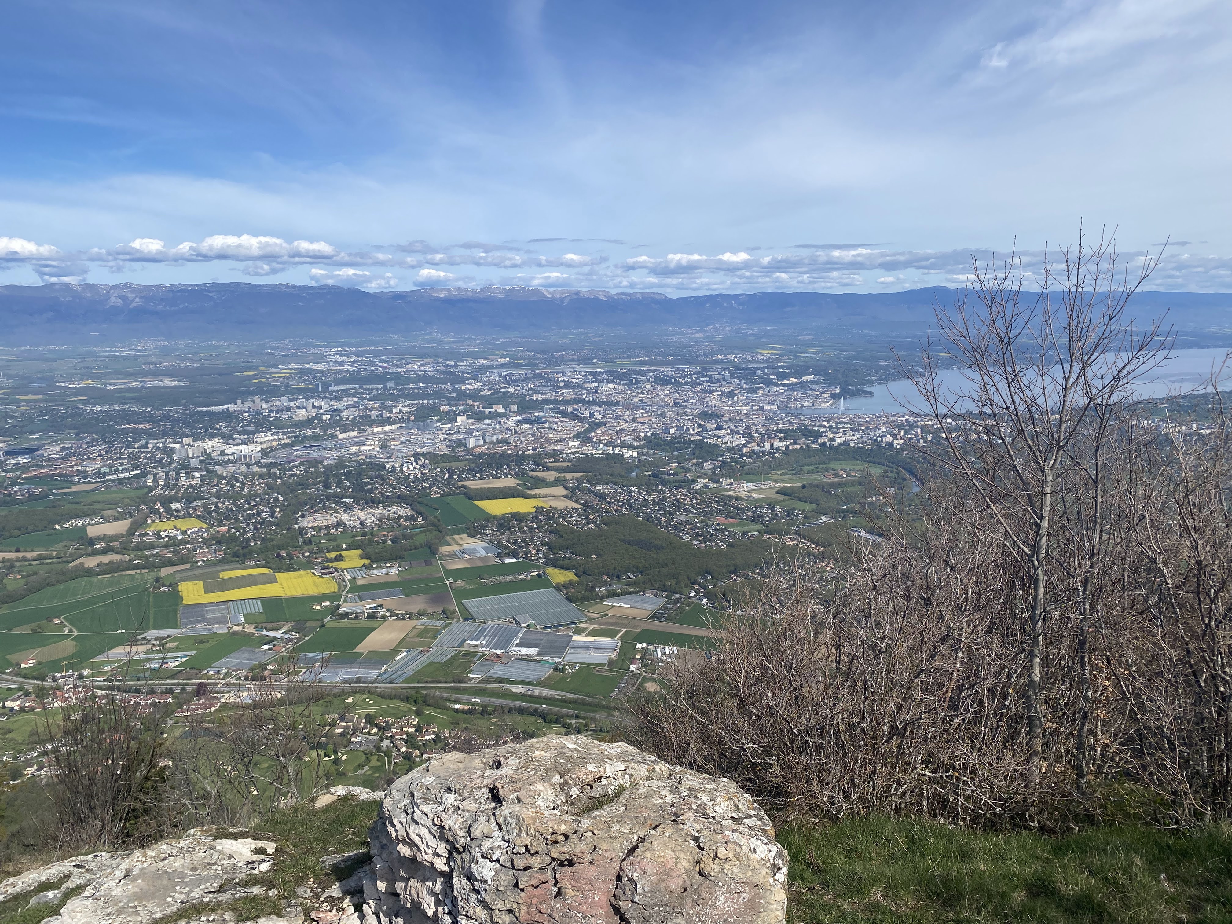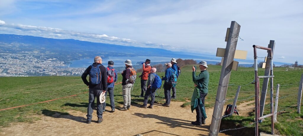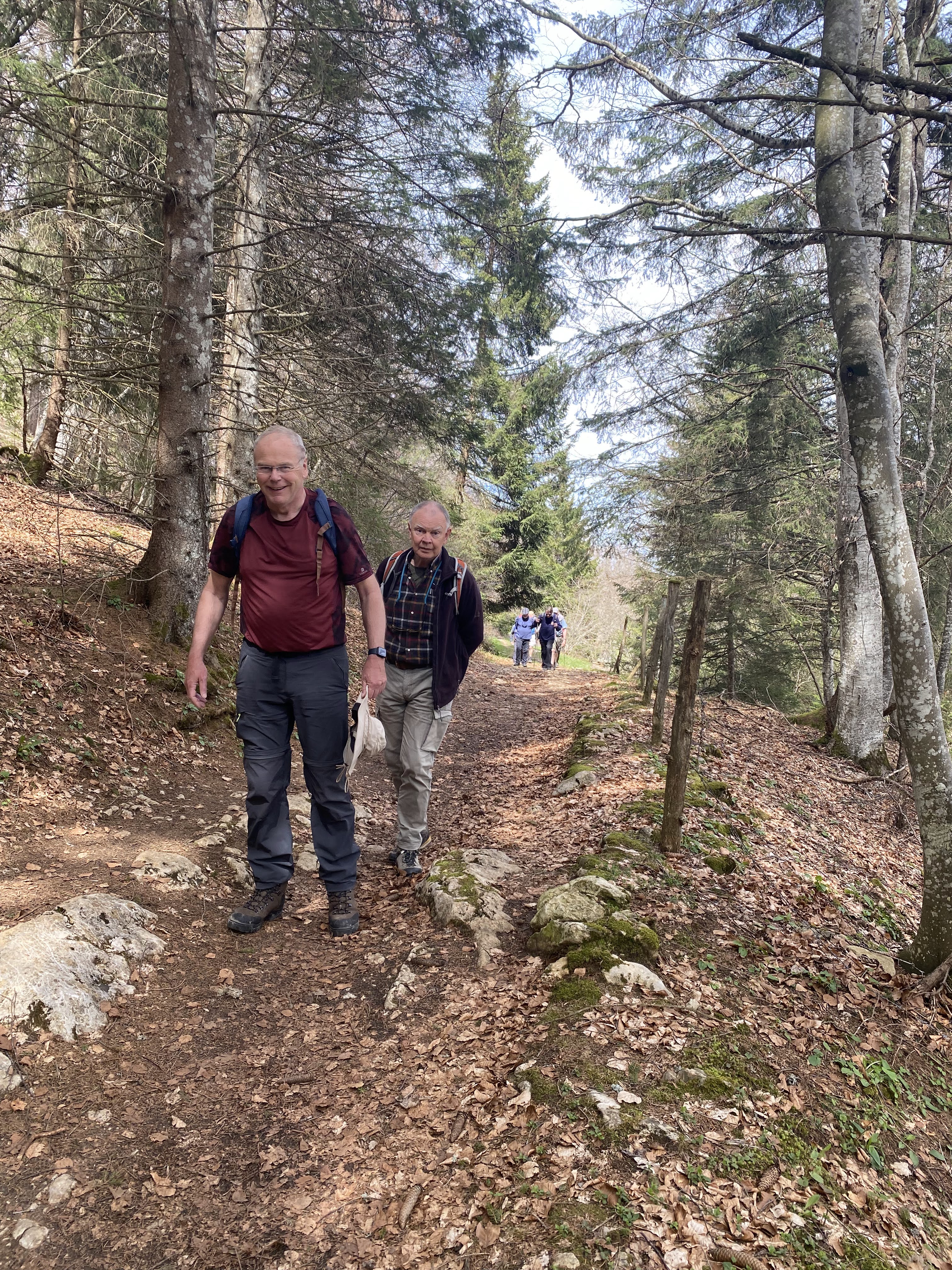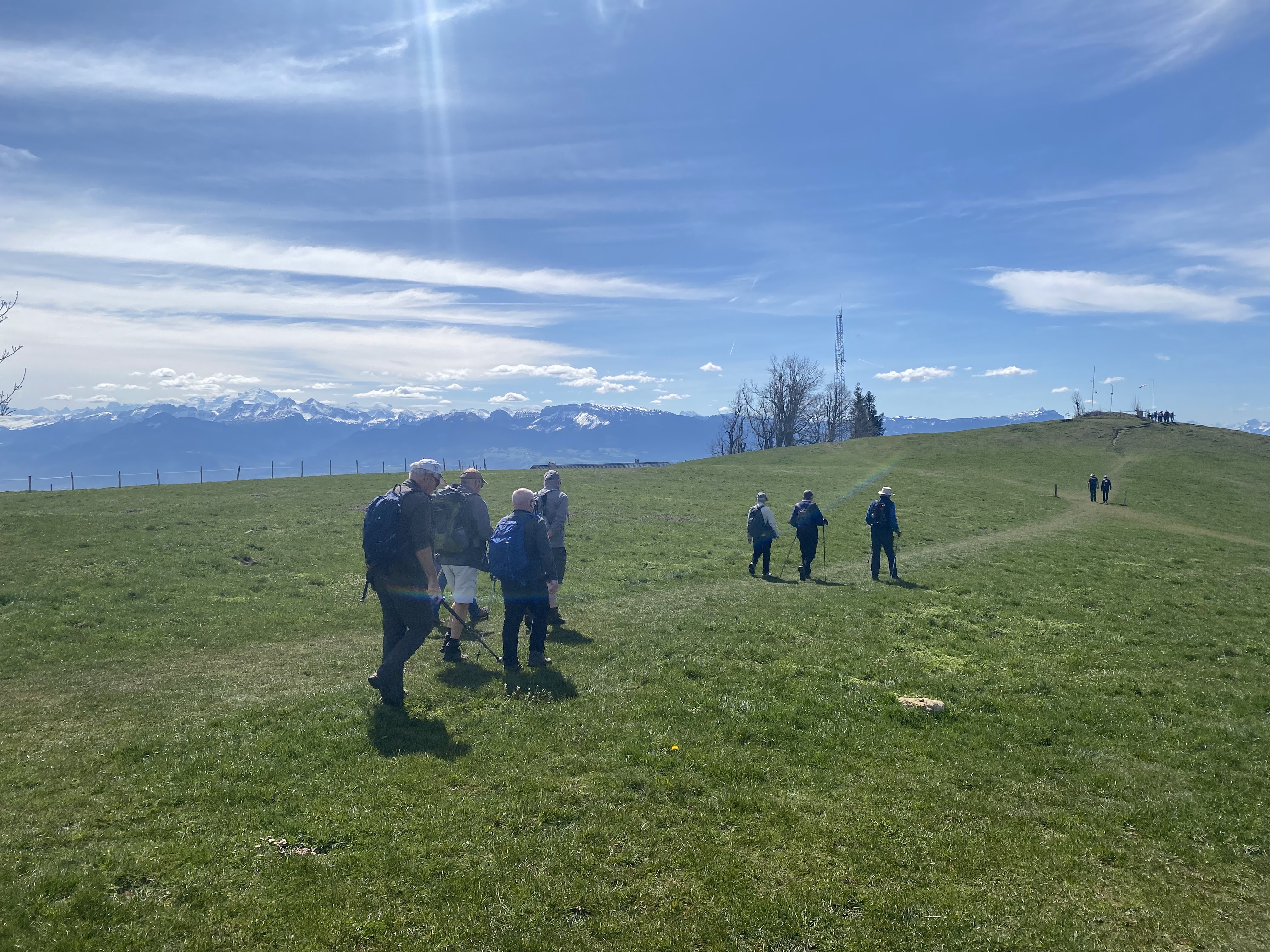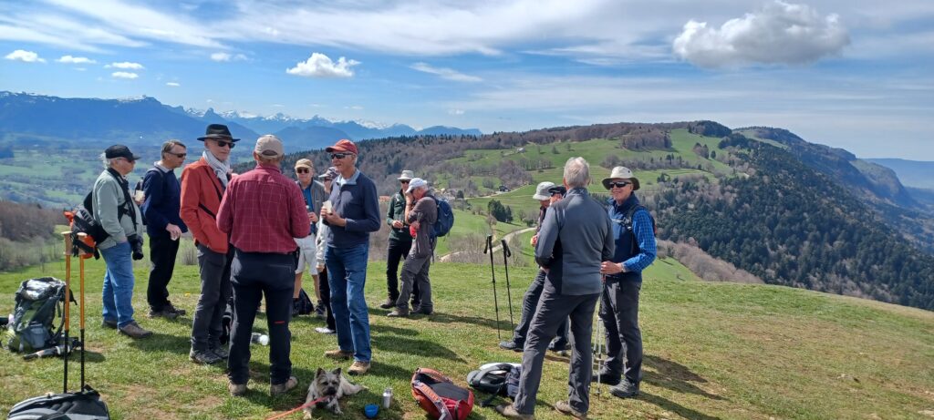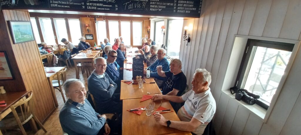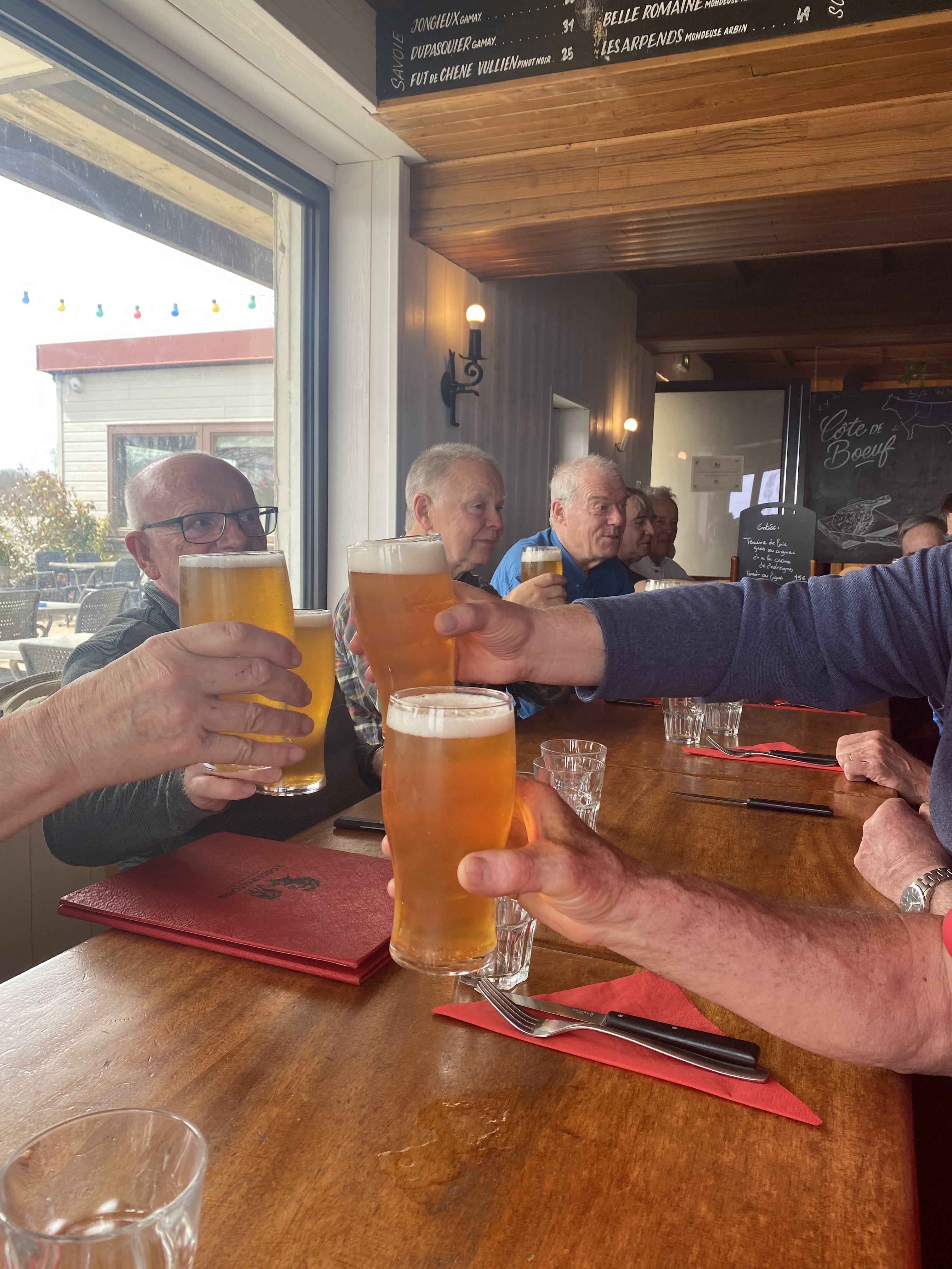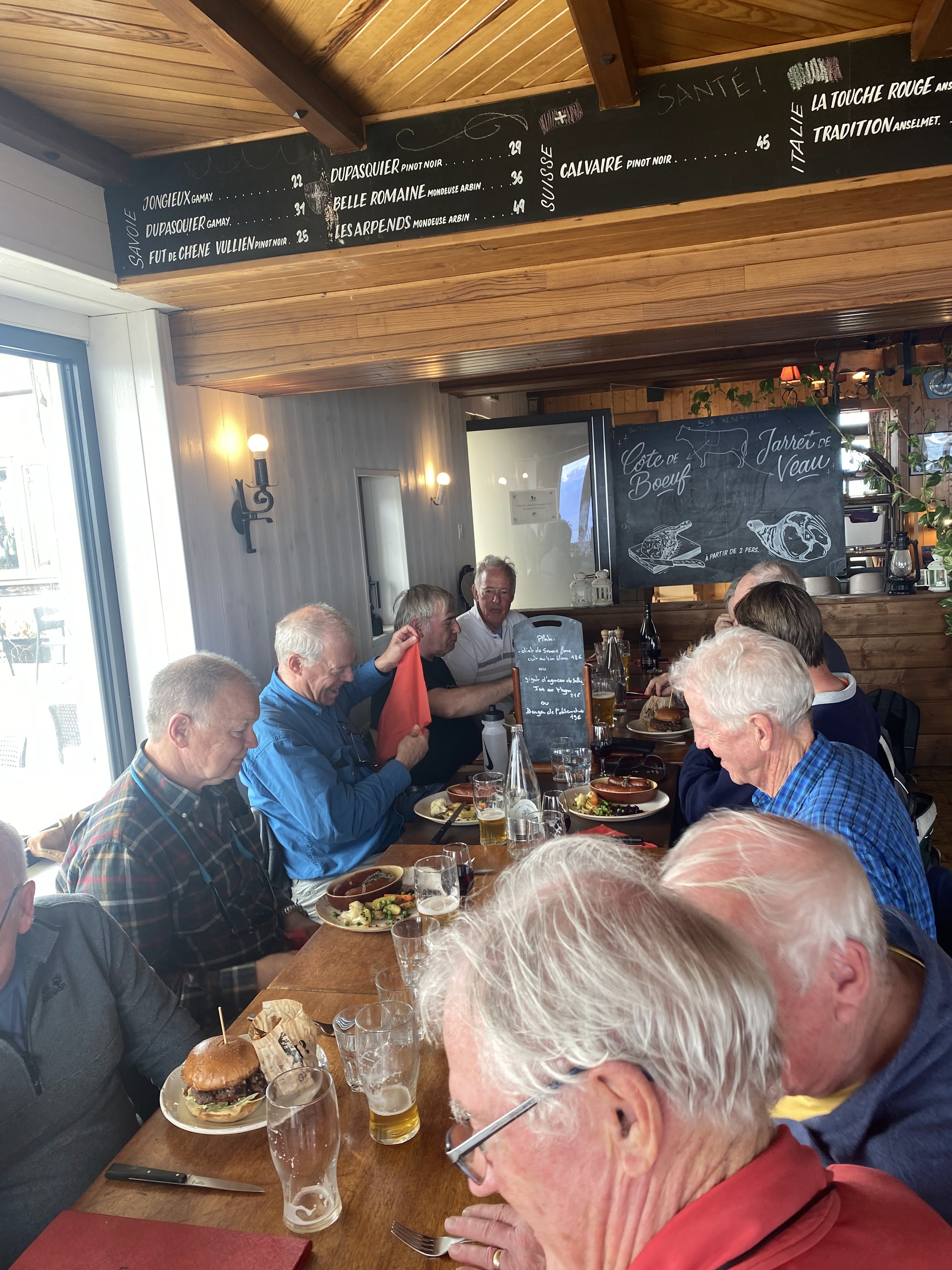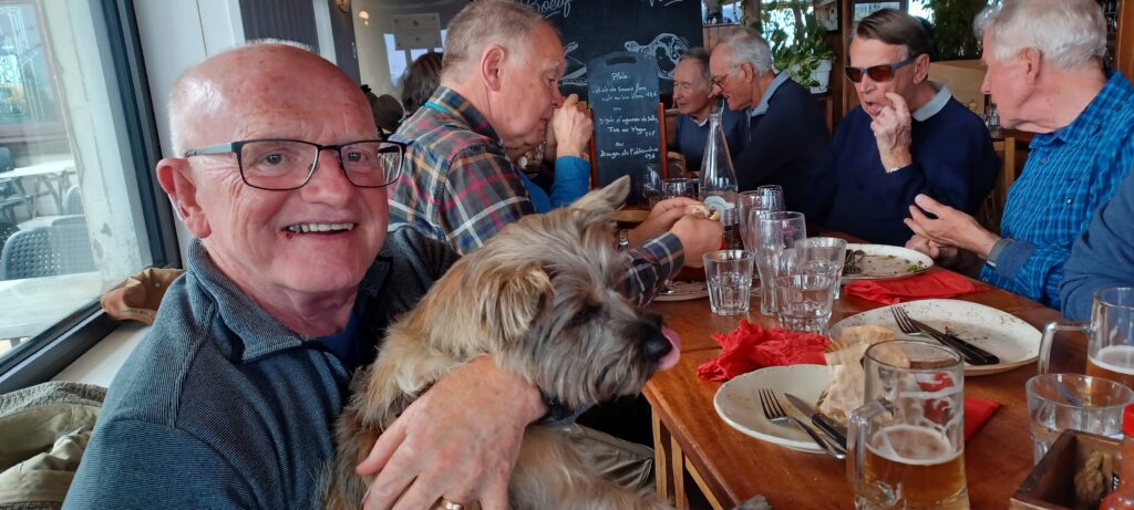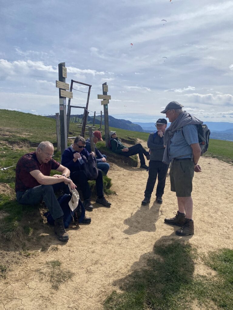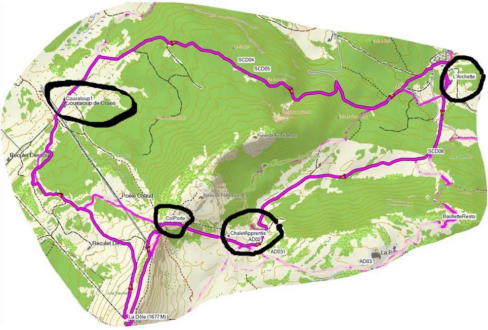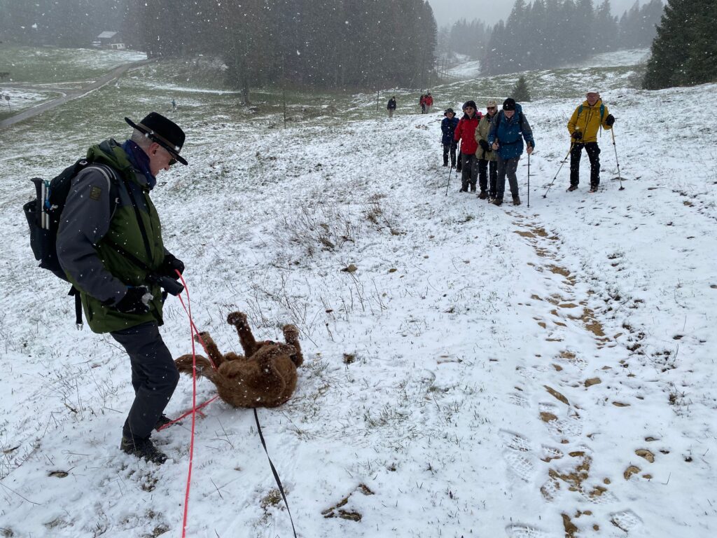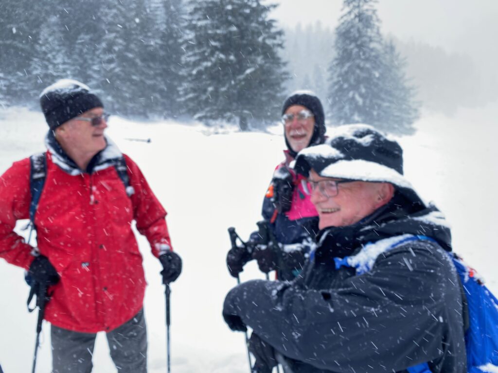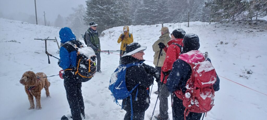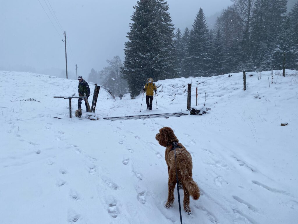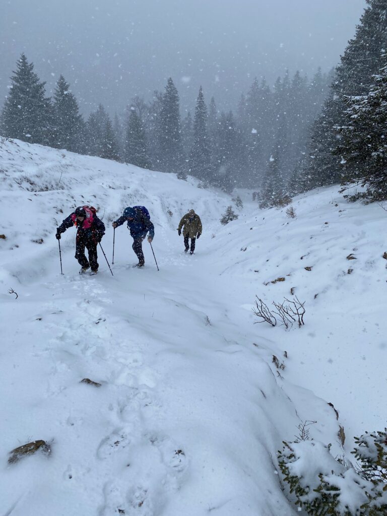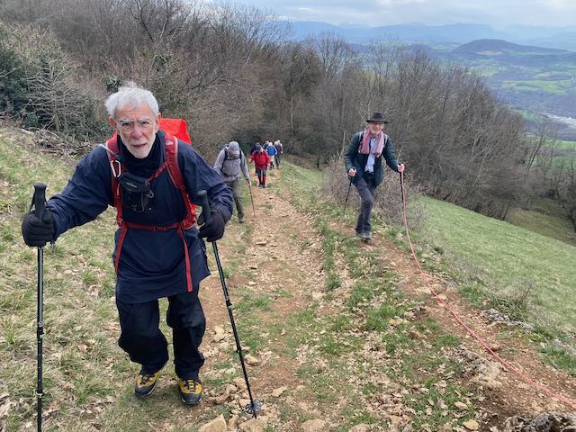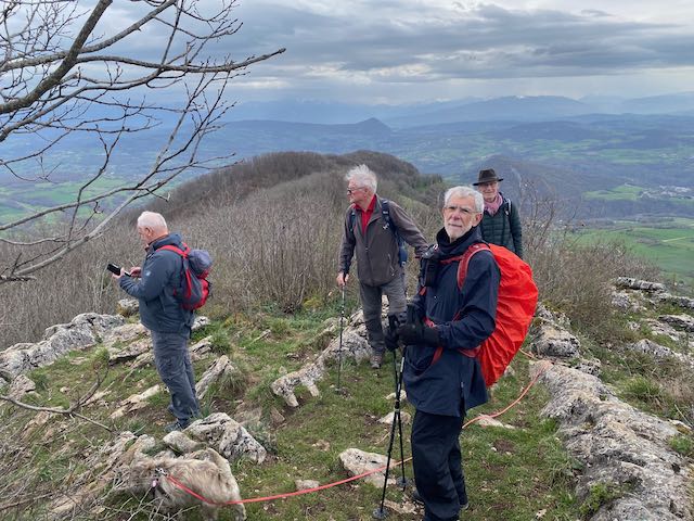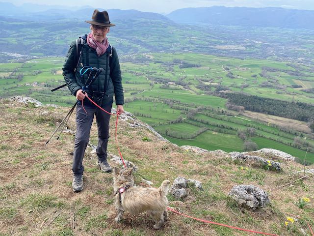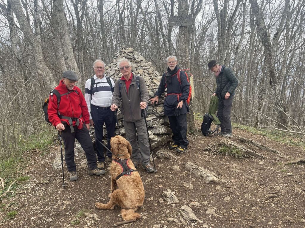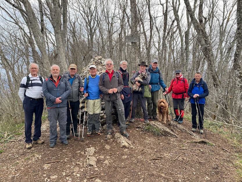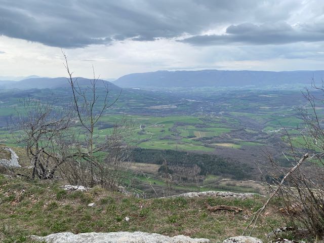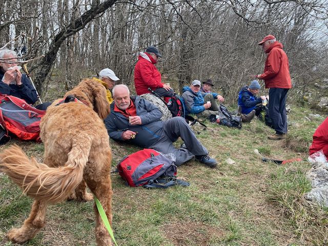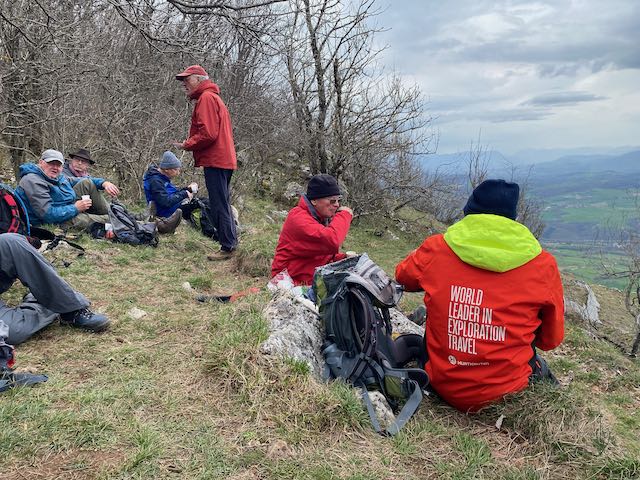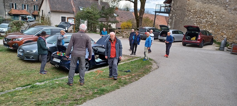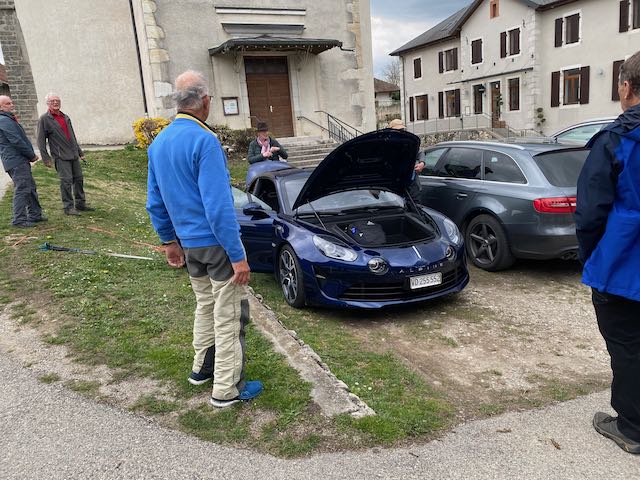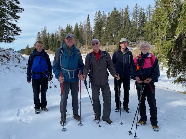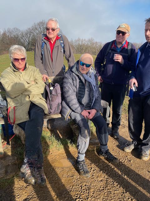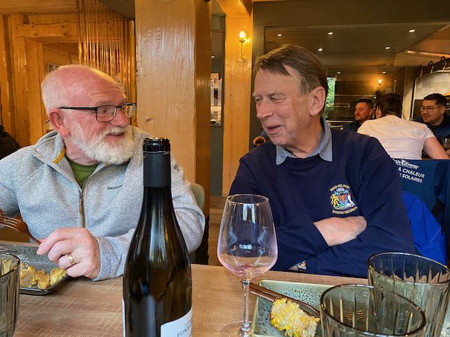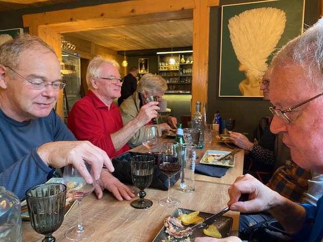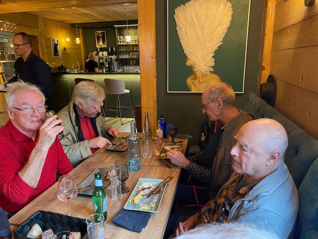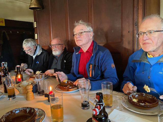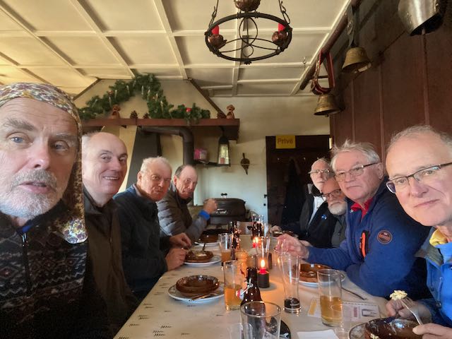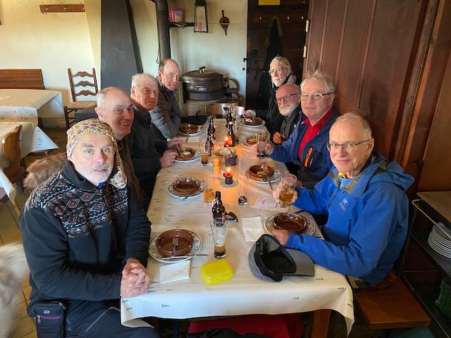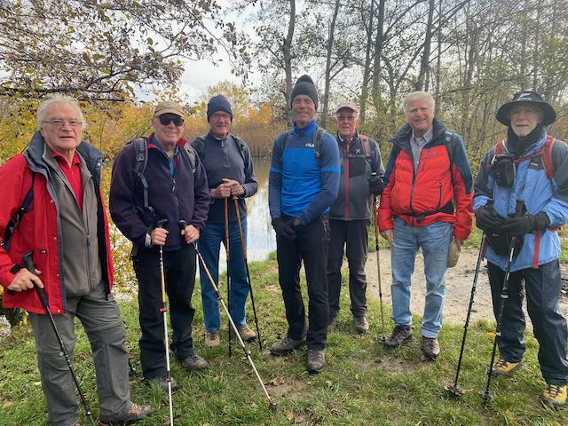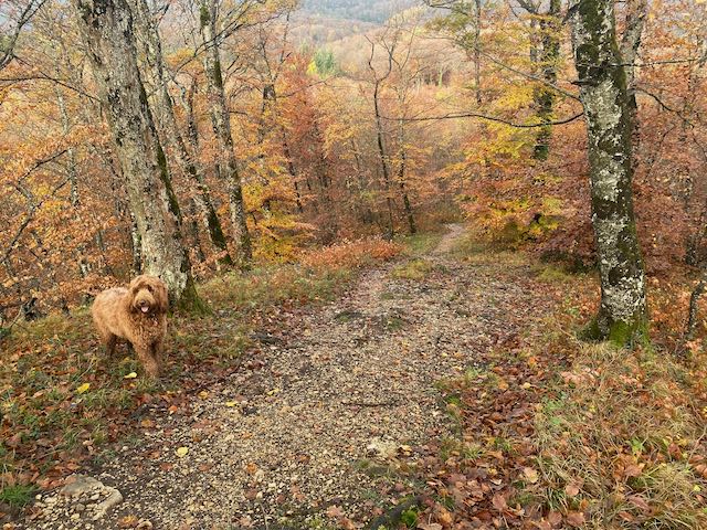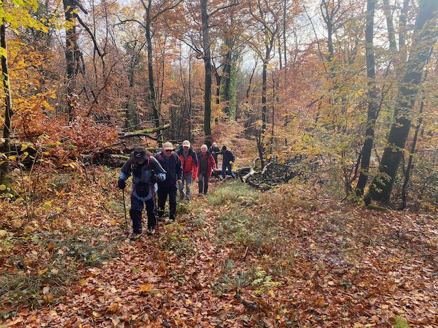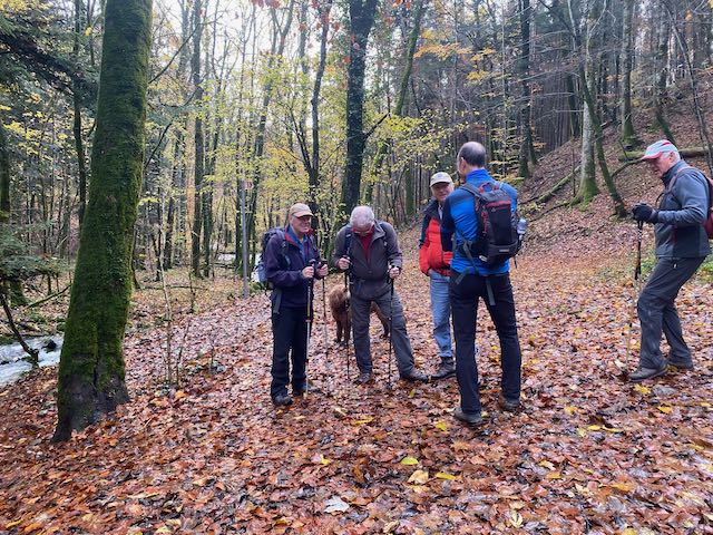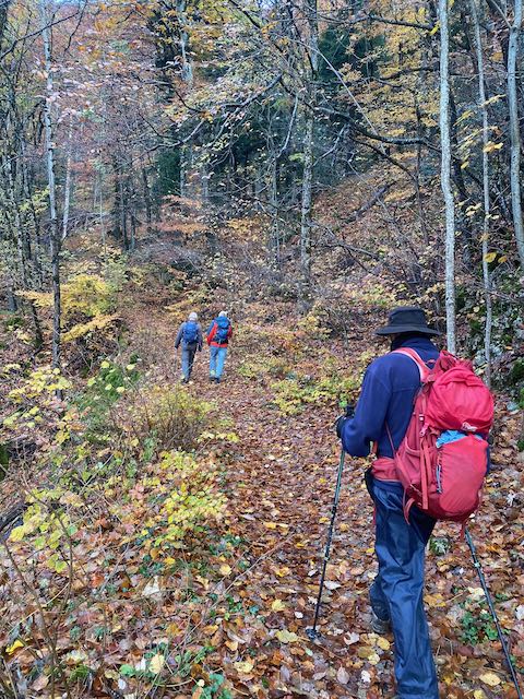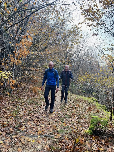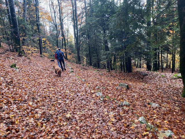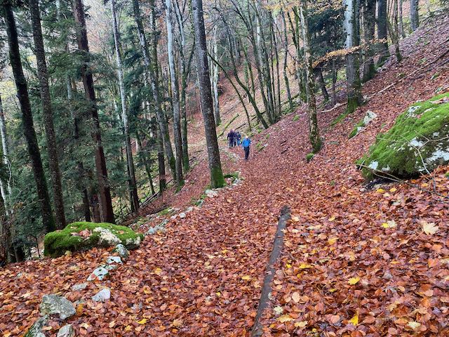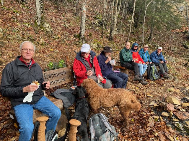
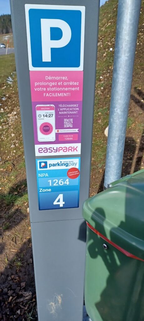
The four members first meeting in Divonne and two plus Kobie going directly arrived at the Givrine parking rendezvous in good time for our scheduled 10am departure only to discover that the new pay parking system was creating more problems than the cost. The metres do not accept debit cards (the card operators charge too much for the liking of the Commune), the Twint QR card had been removed (what vandalism in St Cergue!) and there was little to no wifi connectivity precluding the use of the App “easypark”. (NB in future walk up to the station where 4G is stronger. Ed PT). There was however a traffic warden present to supervise the five or so cars in the carpark (one had a parking ticket) and to witness our plight and to enable Nathan to negotiate free parking. But all this came at a cost since we didn’t leave until 10h20.
Parking meter and rubbish bin
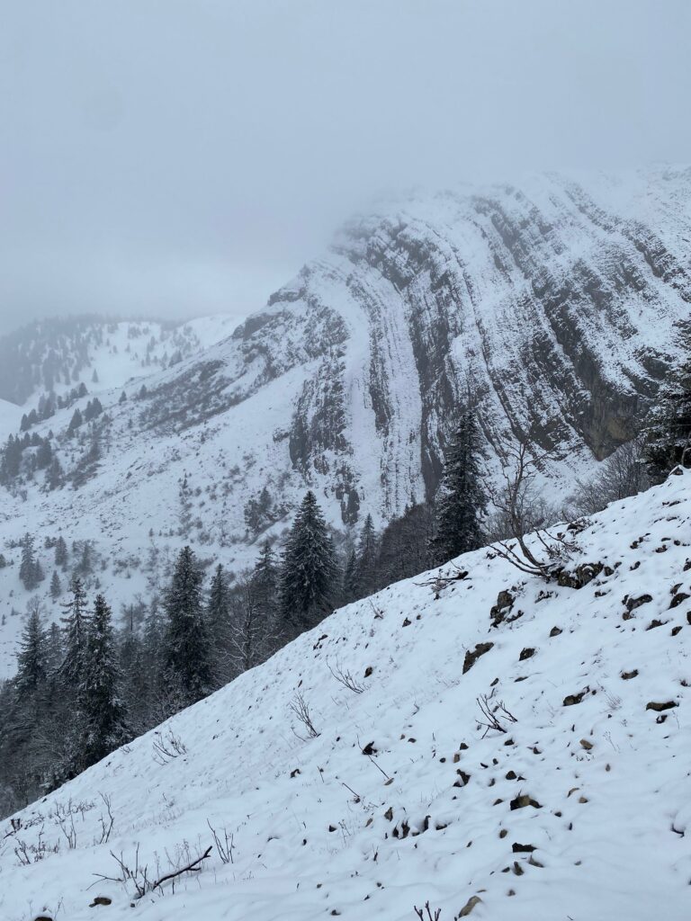
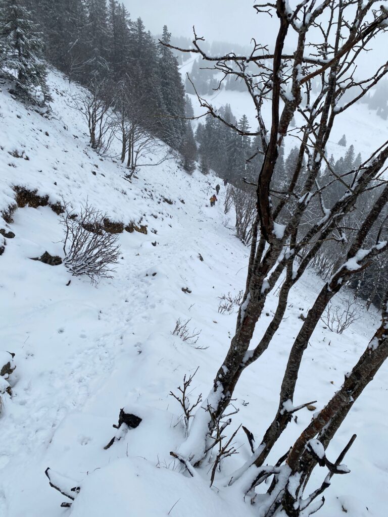
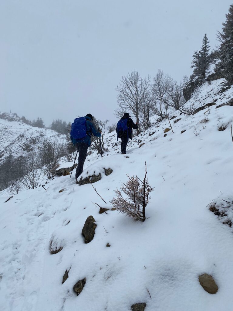
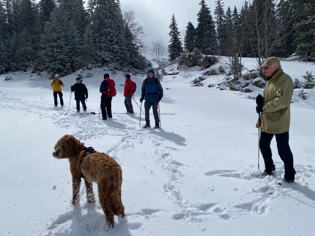
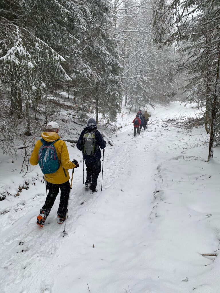
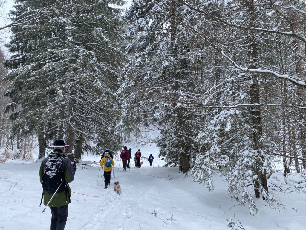
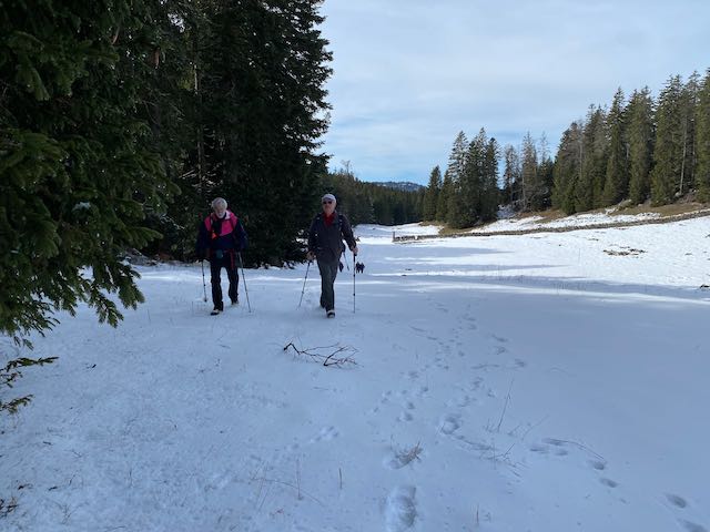
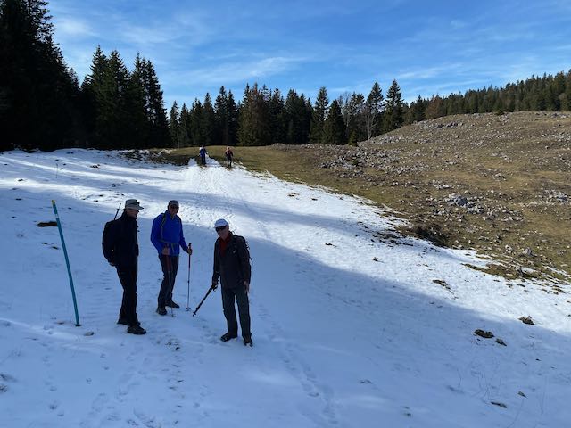
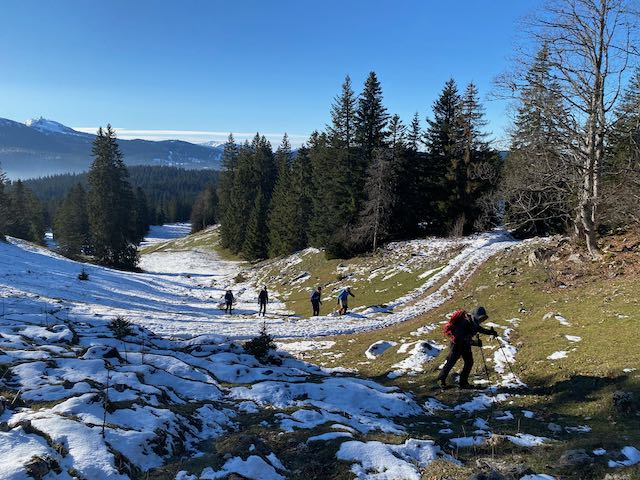
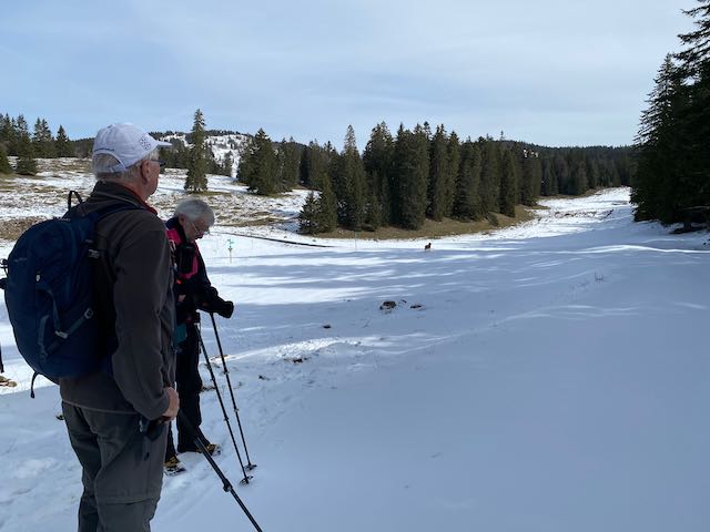
This season has been particularly bad for snow shoeing. We started off with winter wanders before any snow arrived and then only had arguably three “proper” snowshoe outings before we were out hiking again, albeit with some slippages. Although it had snowed Wednesday morning, the restaurant and the webcam indicated that it had all melted so we traipsed off at hiking speed only to discover there was much more snow hiding round the corner, including some still in the trees. Not enough to warrant our absent snowshoes but deep and fresh enough to give that lovely crunchy sound made through walking on fresh snow. Animal tracks were clear (hare and wild boar).
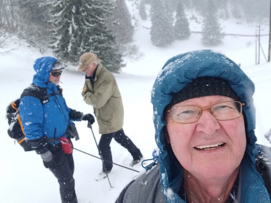
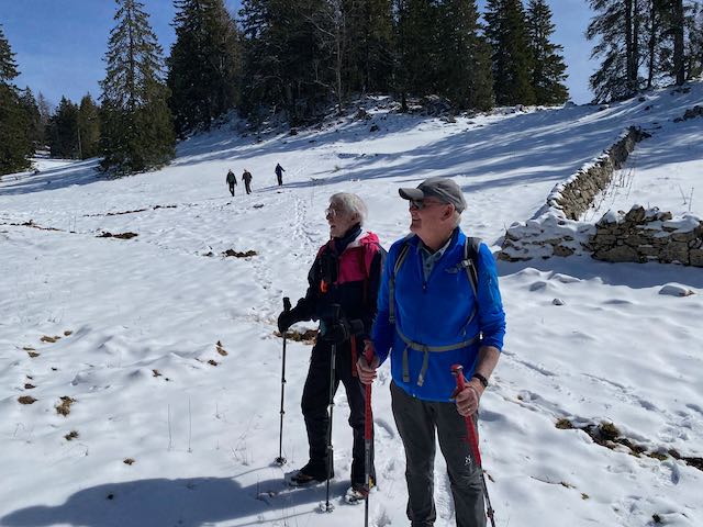
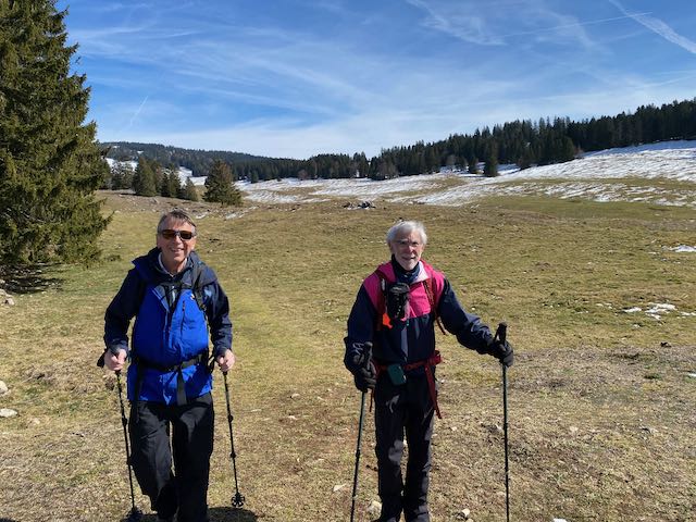
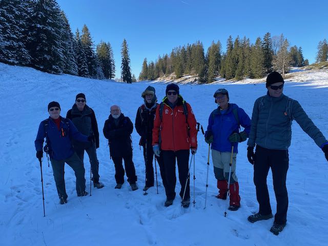
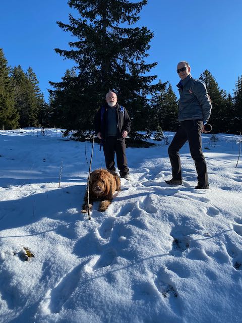
Kobie leads the way At least we were walking on the white stuff !Shady characters
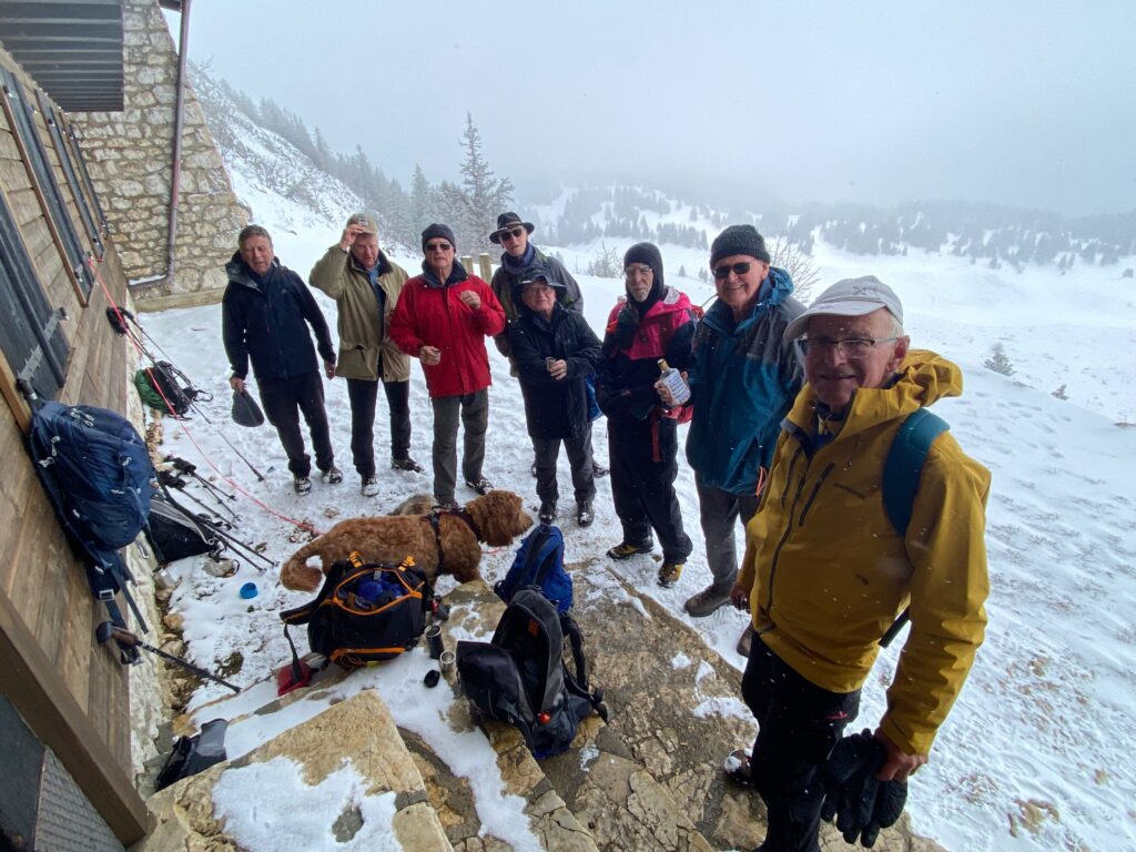
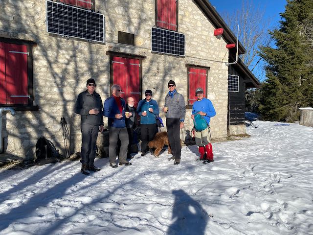
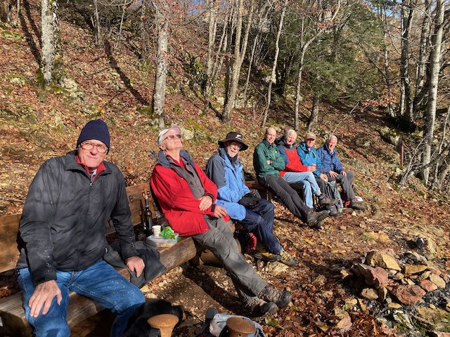
It was lovely in the sunshine and we went to that extra post across a field, reaching the chalet Pré du Four for a pause, taken in the traditional GIN way.
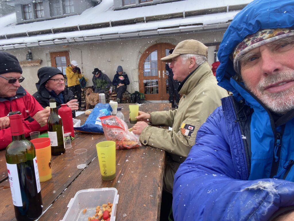
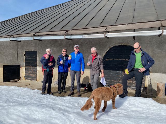
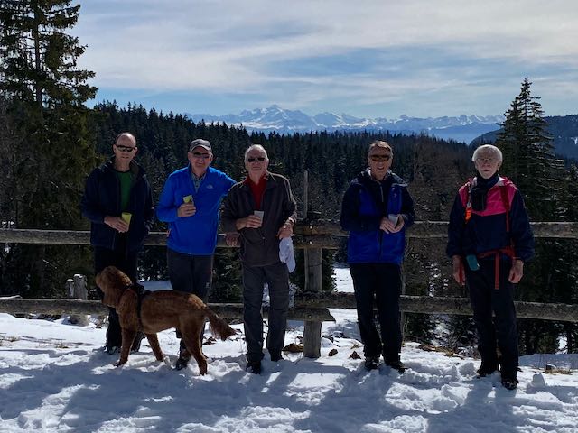
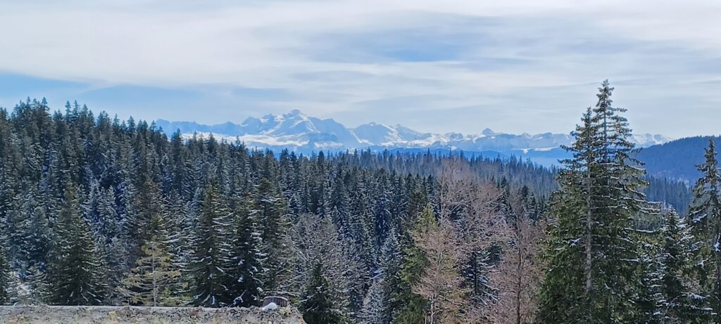
Some white some red – Swiss apèro courtesy of Stephen who had been cleaning out his cellarAs good as it getsThe usual view – always uplifting
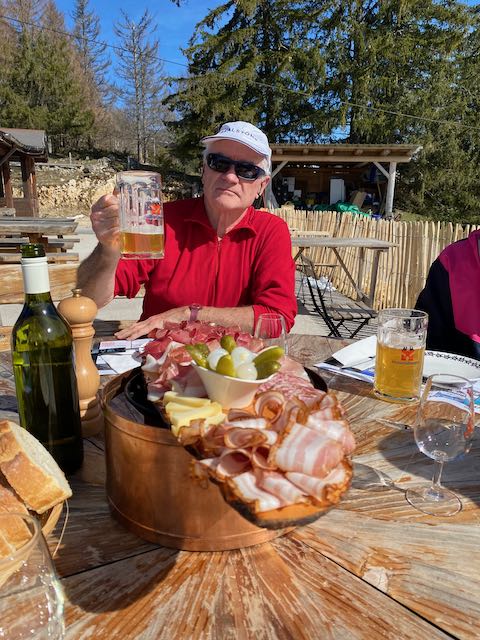
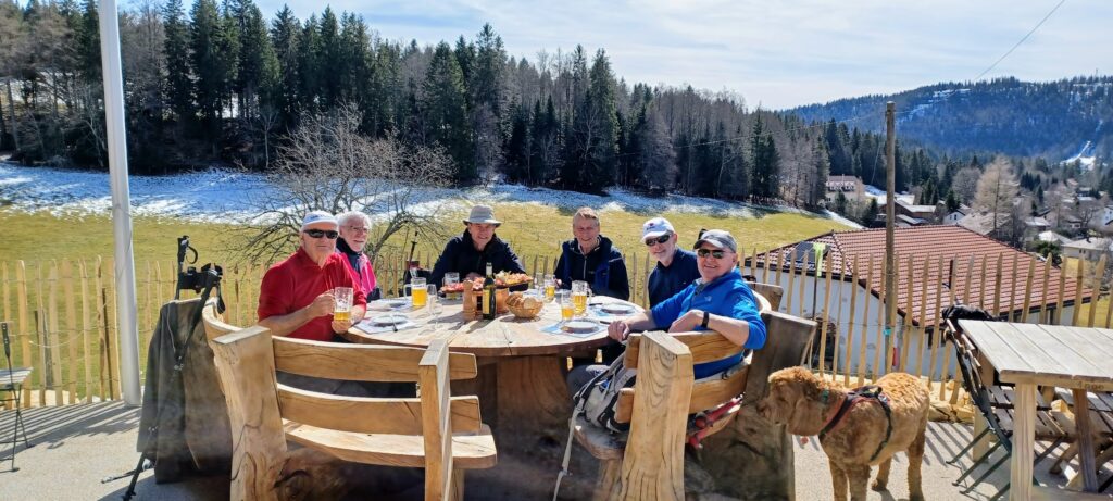
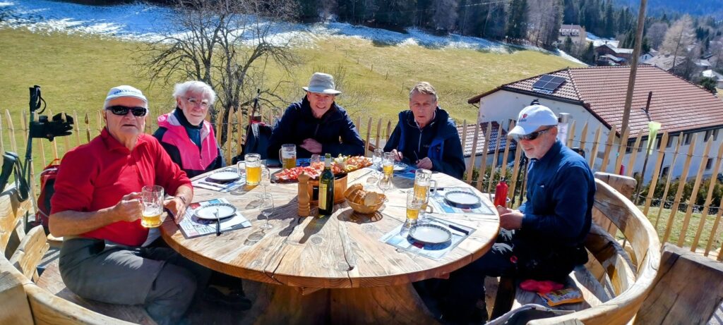
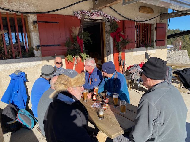
A quick phone call to the restaurant to ensure a late arrival wouldn’t create a lunch problem enabled us to enjoy the view of the Mont Blanc range for longer, then off we went on an easy snow covered path to Chez Mamac for our lunch, which we took outside, starting with welcome beers and cheese with cold meats.
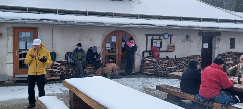
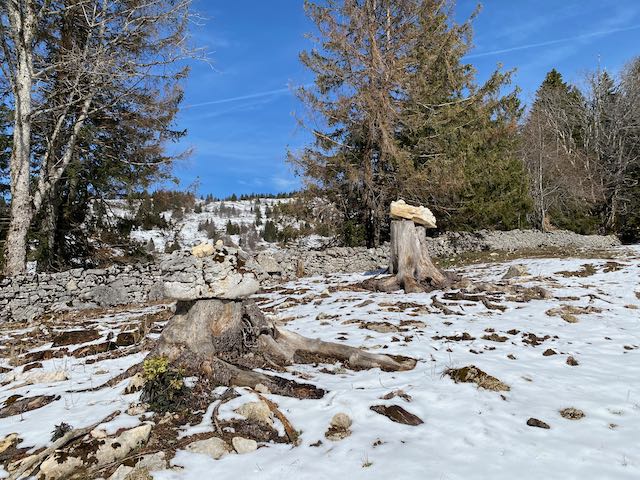
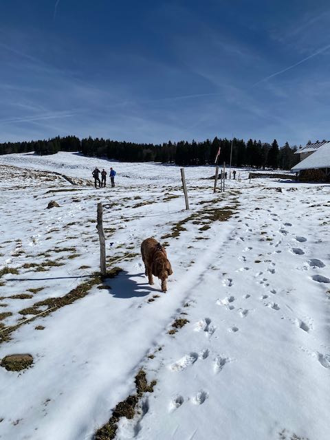
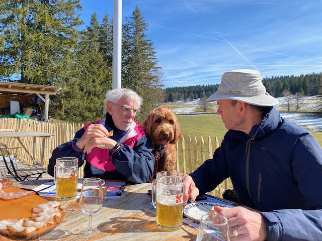
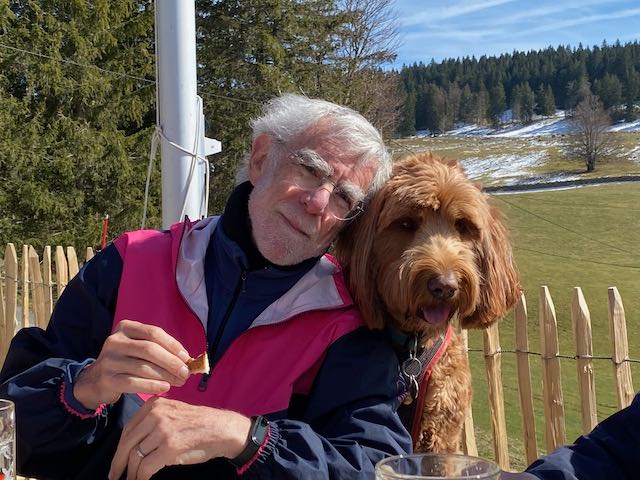
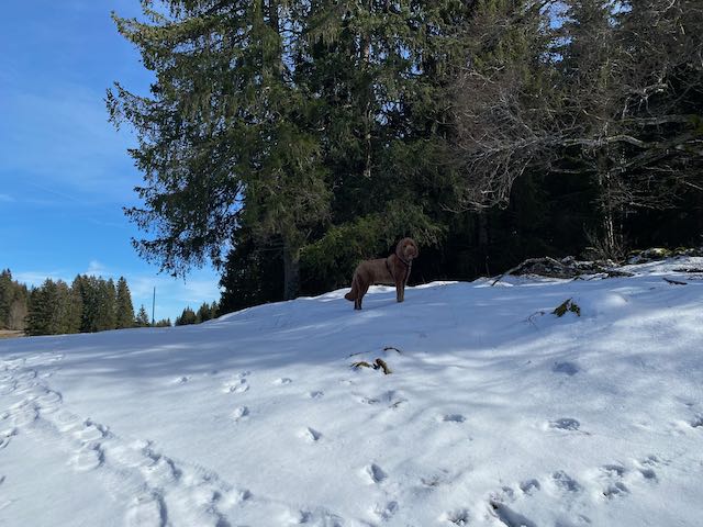
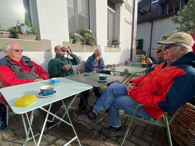
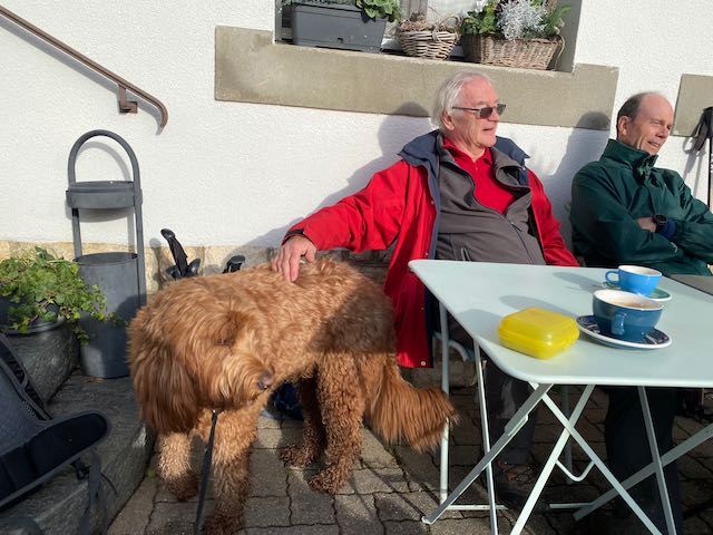
Stone tree decorations en routeFirm snow descent towards La CureSnow runs out but the smiles remainAt Mamac. Let’s start with beer and cold meats !Nathan finds a friendSo does KobieFondu !
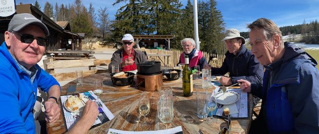
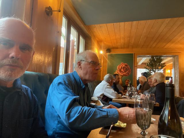
Chez Mamac is famous for its trifon – a fondue saucepan partitioned into three parts – enabling a choice of three different cheeses. The usual intellectual conversation scarcely covered Scottish independence but included Crédit Suisse and other banking problems, Shackleton and antarctica, and end of the snowshoe season and start of the hiking one. As the baker from St Cergue had delivered insufficient tartlets, we moved directly from main course to coffee.
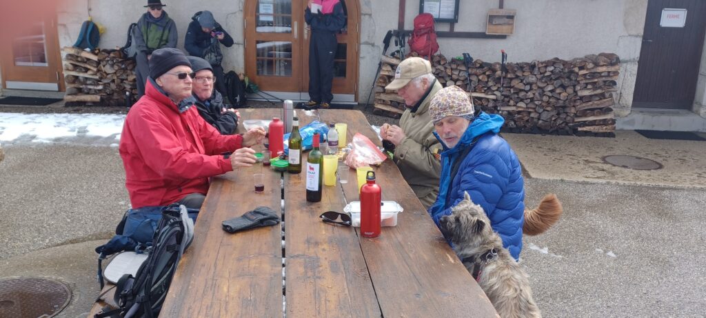
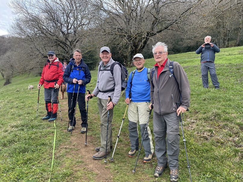
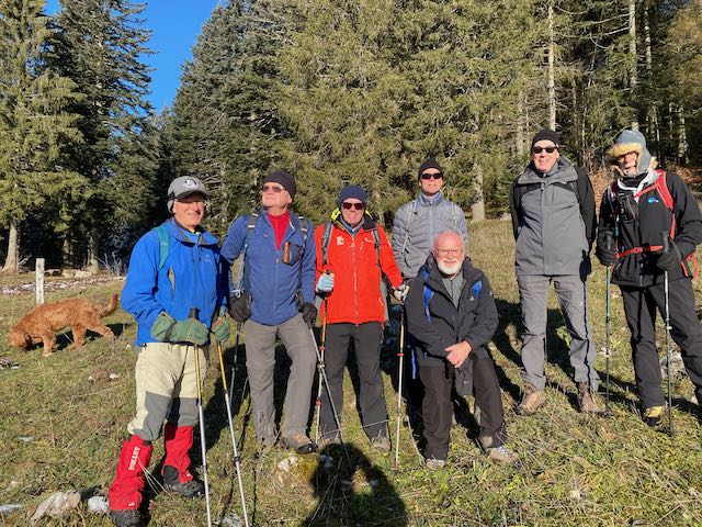
All 7 of usSun shine round table
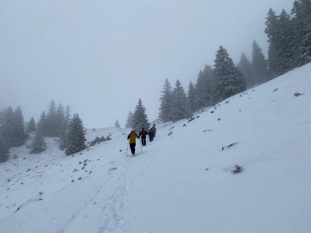
Despite the temptation to take the train, we unanimously decided to leg it back to Givrine, which was mostly over snow! And so freak blizzards aside, ended the 2022/23 snowshoe season with a snow hike.
The way backDog guard
Mark handed the gavel back to Peter for the 2023 summer hiking season. Next hike 30 March 2023 – La Vuache led by Philip.
Participants: PeterT plus Kobie, NathanF, MervynP, RichardS, StephenL and Mark2R
Distance 11km; height difference 320m.
PS – Many thanks to Mark for leading us through this relatively snow-free winter. We had some memorable outings. We look forward to more in 23/24. PT et al.
The second snowshoe outing of the season was aptly described as a winter wander with no one even dreaming that there might be snow. Ten of us (Robert Pashley, Richard Saynor, Mervyn Powell, Nicolas Ulmer, Peter Taylor, Mark Watts, Mark Warren, Mike Hempstead, Paul Sochaczewski and Mike Muller) and three dogs (Kobie, Onyx and Nessie) consequently met at the parking in the Place de la Gare, Divonne les Bains from where we set off on foot for the Mont Mussy.
The trail was straight forward and we overtook the jeudistes ladies from CERN at the Grande Source (and it was Grande with all the rain we’ve been having). The Mont Mussy (704m) is well known to most of us and no leading was required. We ascended the path now covered in damp leaves to the Ferme de Mont Mussy, which sadly has been closed as a restaurant for several years, and on through the woods to the summit of Mont Mourex at at 755m. The gods were kind to us as we had a blue sky with some cloud instead of the forecast rain. The views whether Jura or Alps were good but misty. All this augured well for a typical GIN pause with suitable beverages served with thanks to those who brought them. Entertainment was assured with the usual high intellectual conversation and the dogs chasing each other around the monolith.
On Mont Mourex with Nessie and KobieAnd OnyxAnd PetrosSome dubiosity of spirit..
With about 45 minutes to go before our restaurant reservation, we took a short cut through some thorny bushes to a main path which confounded some who turned left on it instead of right. Thereafter the group were error free and we walked fast on the well-trodden path to the restaurant, the Accord Parfait. Everyone took the menu du jour and the only complaint was that a better wine should have been chosen.
Rob and MarkMike, Mervyn, Nicolas, Mike and RichardAnd paulAnd Peter and Mark
There were two options for the return to the carpark – five took the direct route via the Grande Source and five the longer route by the golf course. On arrival, the Scottish fluid was produced and enjoyed.
Thanks everyone – a most enjoyable day out. Various options are being considered for the next outing on 19 January depending on…snow.
The weather dawned sunny and cold, perfect conditions for a last of 2022 season hike from La Givrine clockwise to Cabane du Carroz, and La Genolière. I had undertaken this hike the Friday before, in cold and freezing frost conditions. More snow had fallen since and the freezing frost had gone, but it was to be below zero out of the sun all day.
In the event 7 other brave Gintlemen signed up and turned out on time at La Givrine’s large newly surfaced parking area at 1207m. Attending were Stephen, Rob, Nathan, Andrew, Mark2ts, Philip, Mervyn and me, with Kobie as token protection from wolves (…).
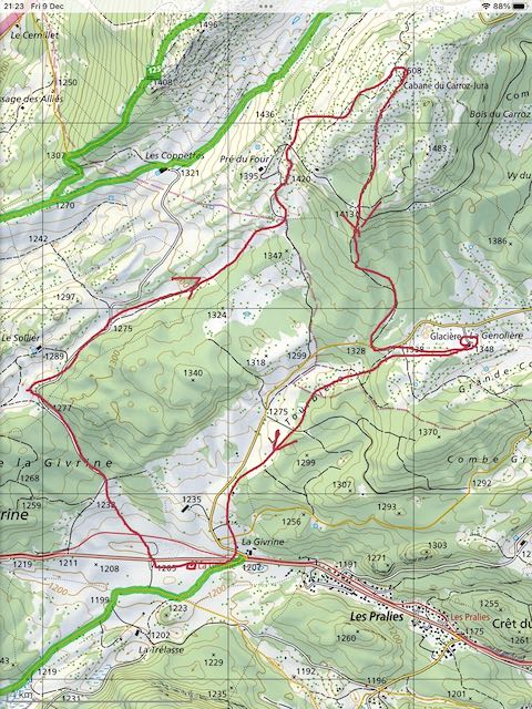
The Route (roughly) was 9.7 km and 370m denivellation
Spirits were high. It was good to have Rob back with us again after a hiatus, but we missed other stalwarts who had various levels of excuses. Kobie was barking with excitement to start and off we went under the rail tunnel and up to the NW in bright sunshine on green grass.
We had dressed for the cold (especially Nathan with his Canadian fur hat (in which Kobie took an interest later on)) but it was initially warm upward going, until we turned NE into a chilly combe.
Rob still needed no hat, but we all needed gloves
We gradually ascended into the light and into greener pastures, with fine views back to La Dôle.
Up into the light
Turning right up the summit slopes we met deeper snow, but nothing that needed a racquette.
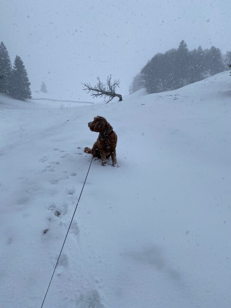
Perfect snow conditions for a Cobberdog
It was not long before we arrived at a sudden right turn to the SAC hut the Cabane du Carroz Jura at 1508m, its terrace giving a fine view out to the alps with the Haut Cime and Matterhorn clearly visible. It was time (11.30 am) for coffee/wine/malt/schnapps or whatever your fancy standing in the sun – with thanks to providers.
Coffee stop – Nathan out of the picture to the right organising for his charity taxi efforts.
Kobie was behaving as was the party itself, and I can recall nothing occurring that could be described as untoward or mutinous. A very pleasant way mark on our route.
After we had replenished our tanks it was time to move on down the snowy trail through beautiful forest down to the road leading to La Genolière for our pre booked table for lunch. The hut dog Mousse was delighted to meet Kobie again (the third time in a week). It was so warm in the sun that we were able to order beers sitting outside in the sun, there being very few other diners that day despite the sunny weather.
Aperos outside at La Genolière
Our orders placed we decided that the log fire inside was needed to keep warm and enjoy the croute fromages and röstis we had ordered from the friendly lady I had met twice before recently. In fact Kobie had met Mousse in the winters of 2020 and 2021 and they enjoyed friendly romps in the snow.
Those Croutes disappeared entirely in good time.Selfie – no – I’m not wearing underpants on my head..Non selfie – note Kobie by the log fire
There was much lively discussion and we toasted absent friends. Scottish independence was back on the agenda as Rob was back, and it was a very convivial and lively lunch. Nathan informed us that he is looking for drivers to help his charity take old folk to appointments etc (please email Nathan directly). After desserts, coffees and digestifs it was time to amble back down through the snowy fields and forest to the cars at La Givrine with sun still in the sky albeit increasing cloud cover. A great day out enjoyed by gintlemen and dog in full measure.
The night saw the arrival of bad weather and a snow storm with a white mushy layer in my garden in the morning under falling snow. Handing over to Mark Warren now for the Snow-Shoe season must surely be starting.
I shall post a summary of 2022 hikes in due course. Thanks to all for being so accommodating of my big gentle hound. He loves you all.
The weather forecast seemed not unreasonable with clearing skies for this Thanksgiving hike. The question was – it was cloudy and threatening light rain – were we a little too early for the sun ?
Eight brave Gintlemen and two dogs turned out, eventually meeting up at the Parcours-vita parking (at 600m) on the Rte de St Cergue above Trelex at 9.45am. At least it was not actually raining. Attending were 8, Nathan, David, Stephen, Mark2ts, Nicolas, Rudi, Mervyn and me; hounds Kobie and Onyx. We had packed a picnic to allow for a promised return to our firesides by 3.30 pm, this timing would be helped also by a descent on the train from St Cergue to Givrins.
It was particularly good to see Rudi back in our ranks. Sad that Philip was not quite fit enough, others had good excuses. We set off in good spirit, the dogs were behaving, and so were the gintlemen with neither side having a full dip in the initial lake in the Bois de Ban. Underfoot was damp, perhaps wet at times, with fallen leaves aplenty, so we had to be careful to watch our footing all day.
Mervyn, Mark, Rudi, Stephen, David, Nicolas, Nathan – by the lakeKobie camouflaged by the foliageBois de Trélex
Steady progress was made up through the woods lit up in orange and yellow, the final leaves of the year. We descended some 60m down to cross the bridge over the stream (called La Colline – I have always called it the Trelex River). Turning left the path steepens up to the level of the track that leads to the gorge that lies below St Cergue. A pleasantly level track allowed for chats and banter as the dogs hunted about left and right.
By the La Colline Towards the GorgeHappy HikersComing back out of the GorgeLooking back to towards the Gorge
Near to where the gorge ends and the path turns back up right, there is a source – a little cave from which water emerges from under the Jura – but it was dry on the day. We were soon trending back out of the gorge and then up left towards the Parapente Seat (at 980m). Nicolas asked me who I thought were the greatest rock groups of all time, so the time passed quickly for me. I don’t think I would have chosen The Who though.
Just before the Seat below the parapente field, I slipped on a wet slanting rock and almost knocked Mervyn over. This happily was the only slip of the day. No damage done. Views from this seat are normally amazing, today less so as there were clouds on the Jura tops and over the alps. But we could see the Jet d’Eau.
Dogs were now put on leashes as chamois frequent the cliffs hereabouts and the path traverses above some steep and loose drops. Drops of light rain had begun and we had donned waterproofs, but there was still a hint of sun in the sky. Just after the Pilar Chinois (a bolted sport route on the limestone cliffs below the railway) the steps lead up to a picnic area with two benches just big enough for the 8 of us to sit, nicely dried by Nicolas with a towel (nb memo to self to pack a towel in wet weather).
Picnic with hounds – very light rainAnd then the sun came out, as ordered.
While we were enjoying out picnic the light rain turned to sunshine ! With no Richard we were without strong liquor, but some pleasant reds from Italy/Puglia and Monastrell/Spain were in the offing. At least one spare bottle remained unopened. Kobie and Onyx were not forgotten either (re food not wine that is). Mark came round with his usual excellent hot, strong, black fluid and paper cups.
Checking the watch it was likely that we would make the 1.32 pm train from St Cergue as it was only a short stroll across to the station. It was here that we had the Problem. Several members attempted to acquire tickets from the machine – most of us used the SBB app on our phones. The train came in from La Cure, we all boarded and the doors suddenly closed and the train left. Wait a minute – there were only 7 Gintlemen and two dogs settled comfortably. Where is Nathan? Oh no! He had missed the train, he had been waiting to obtain a ticket from the machine and was last in line. The train did seem to leave all of a sudden, with no audible warning, and none from Nathan either. I did sort-of feel responsible, but I had a big dog to look after and sometimes leading Gintlemen is a bit like herding cats.
We sent Nathan messages with the intention to meet him at the coffee shop in Givrins (of biking fame). The train ride provided some fabulous views out over to the alps. The sun had come out in full and we enjoyed some pleasant caffeine in Givrins while waiting. Rudi stayed on the train to be picked up by his chauffeuse in Trelex. He had cruised the hike just fine. Nathan showed up 30 minutes later seemingly none the worse for wear, bearing no obvious grudges.
Coffee in the sun at GivrinsOnyx – A* for behaviourKobie – almost an A* too
There remained the short stroll back down across the Trelex River and up into the forest back across to the cars. A pleasant hike, and one that apart from one incident, turned out just as I had hoped (sorry Nathan). We even got back on time! I clocked 8.7km and 606m denivellation. The dogs had a fine time too and behaved well (imho). Thanks to all for the great company and fine wines.
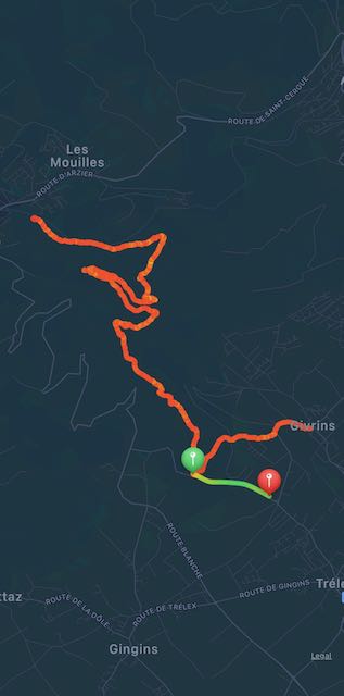
The route – Starting at the Green marker – ignore the green line. The train ride is not shown.
Apart from the marathon (well, 24 km) hike around the Lac de Joux 2 weeks ago, this was my first GIN hike for 8 months, mainly due to open-heart surgery during the summer. So it was with some apprehension that I offered to organise a mountain hike in the French Alps to the east of Annecy. I felt sure that the ascents were going to slow me down, so I made sure that I went in front on the narrow tracks so that none of the greyhounds on my heels could streak ahead.
However, problems arose before we even reached the hike start. After passing through Thorens-Glière, Usillon and the hamlet of Nant-Sec, we came across a “road-blocked” sign. Since there was no deviation possibility, we optimistically drove straight on. A kilometer further was a second road-blocked sign, which looked a bit more serious. Since this was only some 700 m short of our intended stopping point, we found a verge-side parking spot for the three cars and set off on foot up the road. The reason for the signs quickly became apparent – trees were being felled just above the road and one of the lumberjacks advised us that if we continued we would face hefty fines.
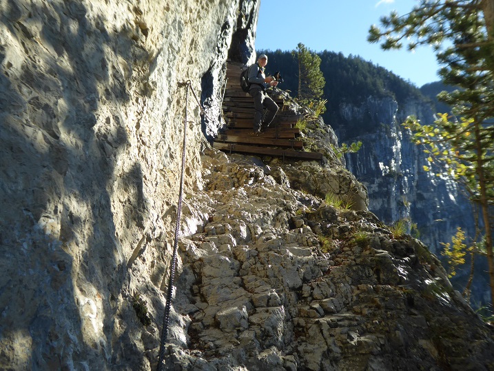
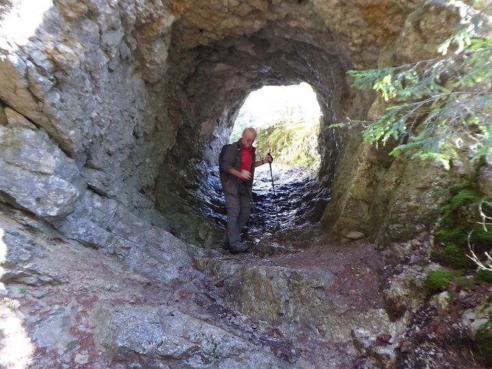
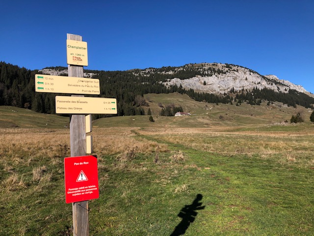
Richard reconnoitering the Pas du RocMervyn in the rock arch
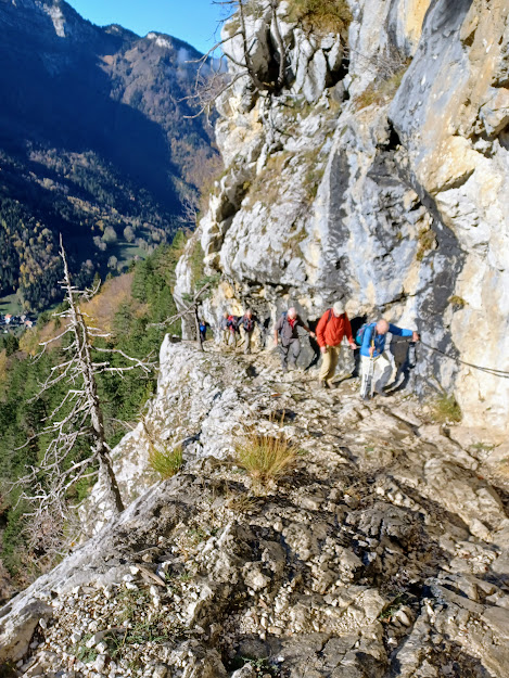
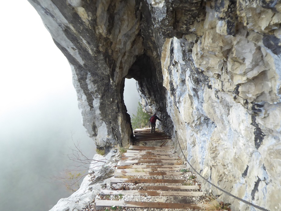
Undeterred, the eight of us – Mark 2tts, Mark 2rrs, Richard, Andrew, Nathan, Mervyn, David and me, Philip – set off up the narrow path crossing the slope above us while keeping a close look-out for falling trees. The path zigzagged up the slope at a pleasant gradient and after 1 hour we reached a steeper, more rocky section – the Pas du Roc. Here the path had been cut out of the cliff, which reared hundreds of meters above our heads. On the outer side of the 2m-wide path the cliff plunged vertically to the forest below. The recent rain made some sections of the path quite slippery, and one slip here could have proved fatal. Fortunately, hand holds had been provided, in the form of cables and chains, to avoid touching the void.
Cautious progress up the Pas du Roc
The explanation for the human engineering of this bold path is that in 1830 it was decided to build a glass factory on the plateau above. The high-quality glass was to be made from Salève sand, but also needed substantial quantities of wood to fuel the fires. The cliff-carved path was the only way of bringing in the timber, presumably on horses or mules. In fact the glass factory only operated until 1860.
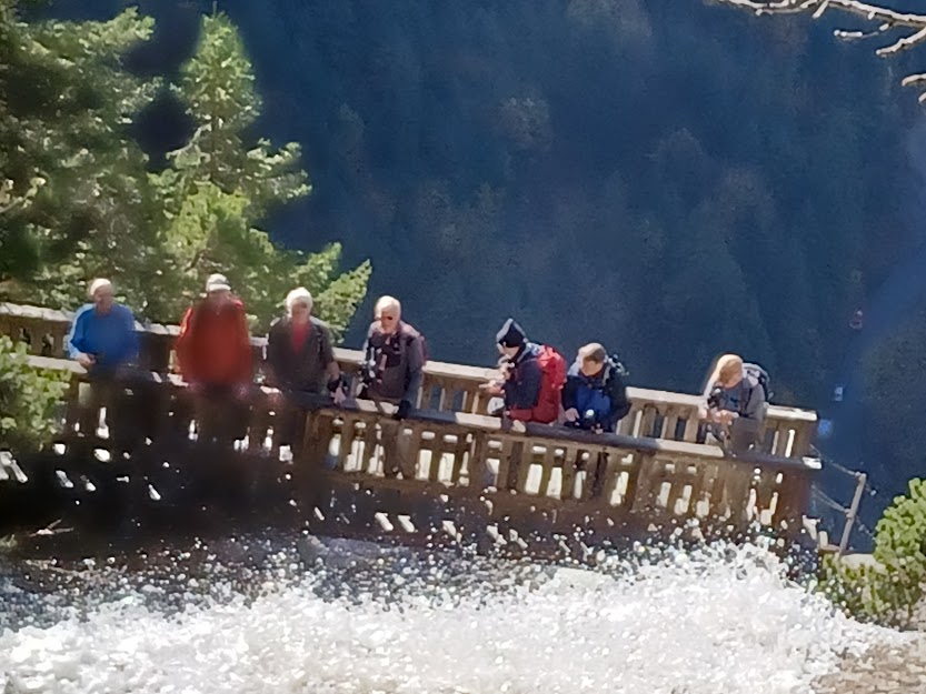
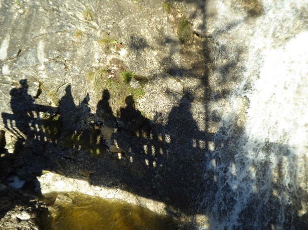
Crossing the cascadeGIN Hikers Shadow Cabinet in action
Above the delicate passage was a cascade, swollen by the recent rains and crossed by two bridges. Richard nobly climbed up to the higher bridge to photograph us on the lower one. From here the path wandered across the Champ Laitier, a huge plateau of boggy ground.
La Montagne de Sous-Dine – a moveable feast
It was around this point that an interesting discussion arose concerning the whereabouts of a mountain called the Sous-Dine. I told the group that the mountain over to the left must, from its profile, be the Sous-Dine, a mountain that Richard and I had climbed a few years earlier. Richard replied that it was impossible, as a sign that he had just spotted announced the Sous-Dine by pointing to the right. To the right there was indeed a mountain but it was forested to the summit, which the Sous-Dune is not. I pondered for a moment then brought out my trump card: “my IGN 1:25000 map indicates that the Sous-Dine is to the west of our present position. Unless my compass has inverted, west is over to the left, whereas that sign is pointing eastwards.” Faced with this irrefutable logic, Richard graciously admitted defeat. We could only explain this strange situation by assuming that either the sign had been erected the wrong way round or, more likely, that it wanted hikers to take a “scenic deviation” across the boggy ground.
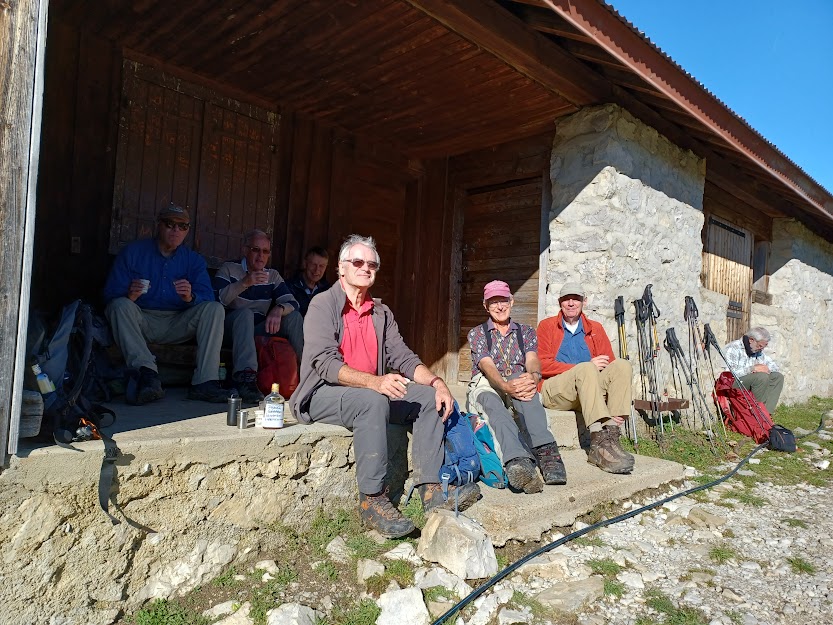
Warm sunshine and lively picnic discussion
Up ahead was a large building, the Chalet de Plan, which looked as though it would be a good picnic spot since it was now well past midday. It proved to be the perfect place, with steps and a bench to sit on in the warm sunshine. The blog writer notes that GIN outing accounts traditionally mention conversation items covered during lunchtime. Given the erudite nature of the group members, it is no surprise that the conversation between bites covered such learned topics as 1) the relative merits of cooking techniques for eggs – hard boiled, soft boiled, sunny side up or easy over; 2) the resignation of a bullying UK cabinet minister; 3) the quality of the alcoholic beverage that Richard brought, which allowed us to toast absent friends. Scottish independence was deemed not to be a worthy topic as there was nobody present to defend it. We probably need an eloquent Scot to revitalise this once-popular topic.
Another of Richard’s tipples
Having eaten well, we decided not to continue further over the Champ Laitier but to head downwards via a deviation across boggy ground sloping down to the river that fed the cascade. Since we were well equipped with torches and head lamps, we fixed as objective a goufre (pothole) marked on the 1:25000 map. With Nathan keeping a constant eye on his GPS, we soon came across what might have been a pothole. There was certainly a depression in the ground, surrounded by a feeble fence that would have posed no problem to a determined warthog. However, the height of the nettles around the hole was enough for even the most enthusiastic cavers among us to be put off any further investigation.
Atmospheric descent through the rock arch
As we descended, the pleasant sunshine gave way to thick mist, which provided a suitable atmosphere to the 200m-long delicate cliff-cut path. No one spoke. It definitely needed 100% concentration to avoid a dangerous slip. Once past this hazard, we could relax and enjoy the contrasting autumnal colours of the beeches, oaks and conifers. Back at the cars we discovered David’s pair of clean shoes lying undisturbed on the ground outside the car where they had been all day!
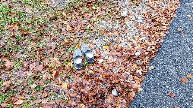
David’s shoes enjoying a day out
In the Thorens-Glière bistro where we stopped for a well-earned drink, it was generally agreed that the Pas du Roc hike provided an interesting variation to the more usual Jura walks. Now, while we await the first snows that will allow us to get moving on raquettes, there might just be time for one more autumnal hike.
Five of us (Peter, Philip, Mark 2rrs, Nicolas and the writer) met early at the usual parking spot by Divonne lake and set off in high spirits for the Lac de Joux despite temperatures of 6 degrees and misty conditions. Our progress was somewhat thwarted by ominous but ambiguous signs in Longirod suggesting deviations – but were they just for lorries? We pressed on regardless and entering St George it became obvious that the signs were to be taken seriously, but Peter knew a small byway which took us around the town which brought us into a car park surrounded by road works. We had unknowingly caught up with Nathan and the three cars managed to circumvent the holes in the roads and after taking a slightly illegal route, managed to get back on the route to the Col du Marchairuz. Up there, the weather was bright and sunny, but on the descent to Le Brassus we could see a thick layer of fog above the Lac de Joux.
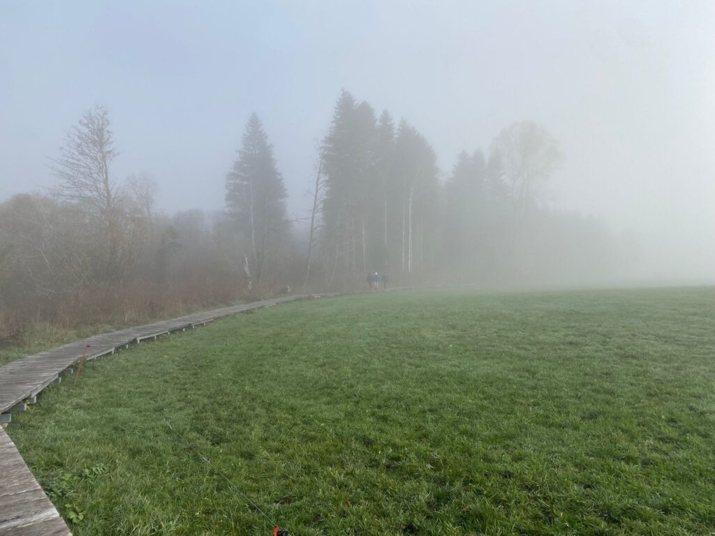
We had intended to leave the parking lot at Altitude 1004 in Les Bioux at 09.30, but Drew called and told us that his GPS gave him an ETA of 09.50 due to the deviation. Knowing that we didn’t have that much leeway in order to reach our lunch stop some 14kms away at 13.00, the Famous Five plus Kobie set off around the lake in a clockwise direction. Rob called and cancelled due to a medical issue. I waited for Drew to turn up as scheduled and we drove to L’Orient at the southern end of the lake to wait for the guys to appear through the fog. They had already walked 2.5kms along the excellent boardwalk which traverses marshy ground.
Emerging from the fog
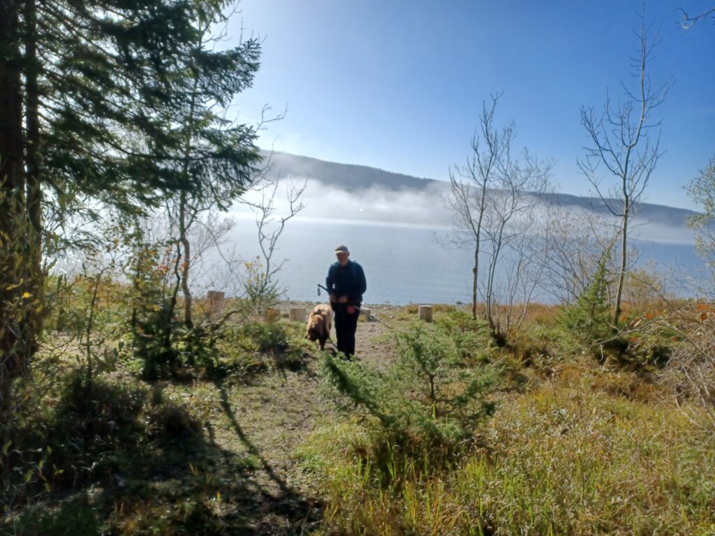
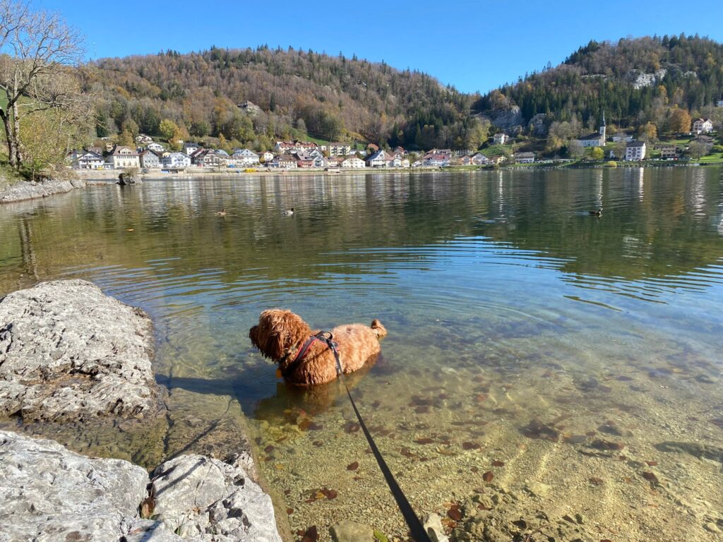
Reunited, we continued around the bottom of the lake and carried on past Le Sentier and its many watch factories, and Le Rocheray where four hardy souls had just finished swimming in the lake. For a time we were on minor roads, but were rewarded by the sight of many pretty lakeside properties. Reaching Les Esserts-de-Rive, the sun finally broke through the fog and confirmed that there was indeed a large lake on our right-hand side! We then entered a wooded area and enjoyed the peace and tranquillity of a rocky path right by the water. The level of the lake has been very low – more than 1 metre below its normal height of 1,004 metres, but the recent rains had restored the level to its “working” height.
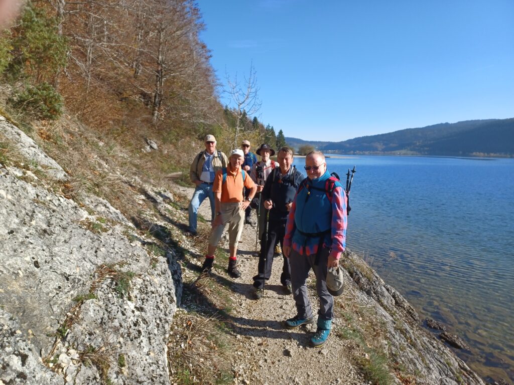
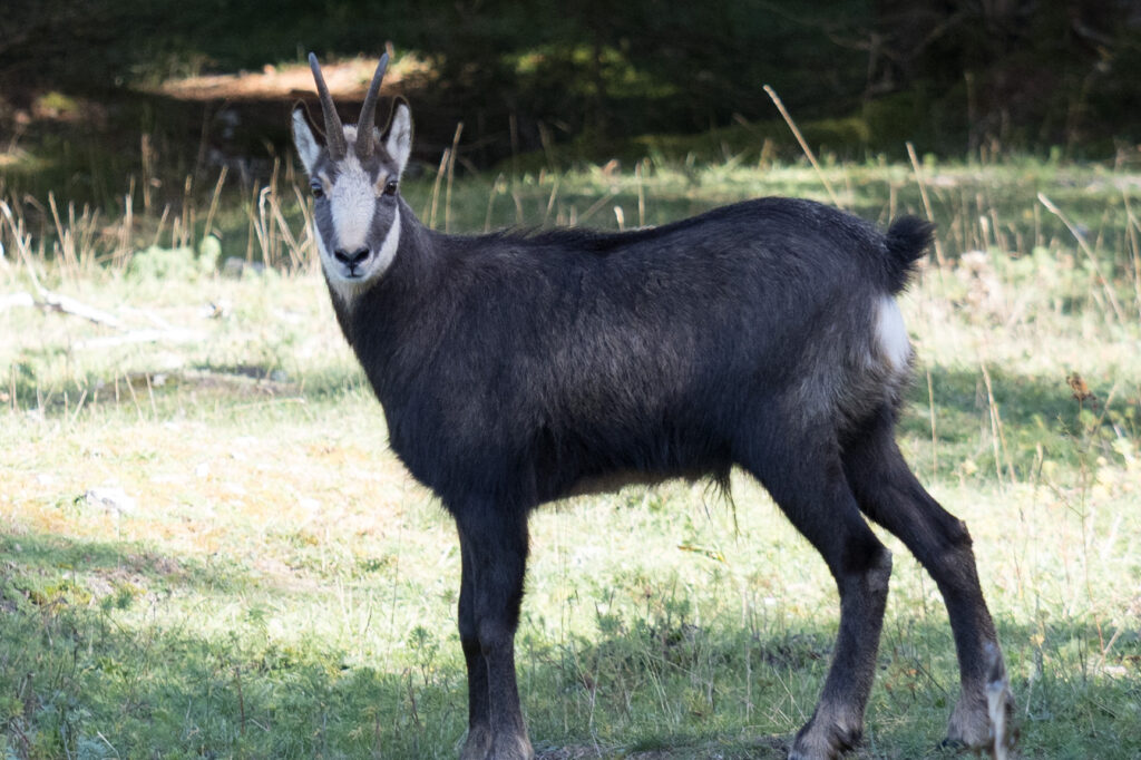
The low level path soon ended and we had to climb a series of switchbacks to reach Le Lieu where we thought that we deserved some light refreshment. Some limoncello shots and an excellent Riesling revived us in true GIN fashion and we set off on the last leg of our pre-lunch journey. Outer layers of clothing were discarded in the warm sunshine and absent friends were of, course, honoured in the usual way. Entering a new wooded area, we hadn’t gone many metres before we encountered a small herd of chamois which spooked Kobie somewhat and required some frantic whistle-blowing by Peter. Order was restored when the chamois headed down a steep bank and our canine companion returned to his master. Shortly afterwards, those of us leading had to restrain him again as we came across another herd. Our chief wildlife photographer, Nathan, managed to take some fine shots of the animals who did not appear to be particularly perturbed by our presence.
In the sunshine at lastThat bottle is past its sell by dateWho are you looking at?Come in, the water’s lovely
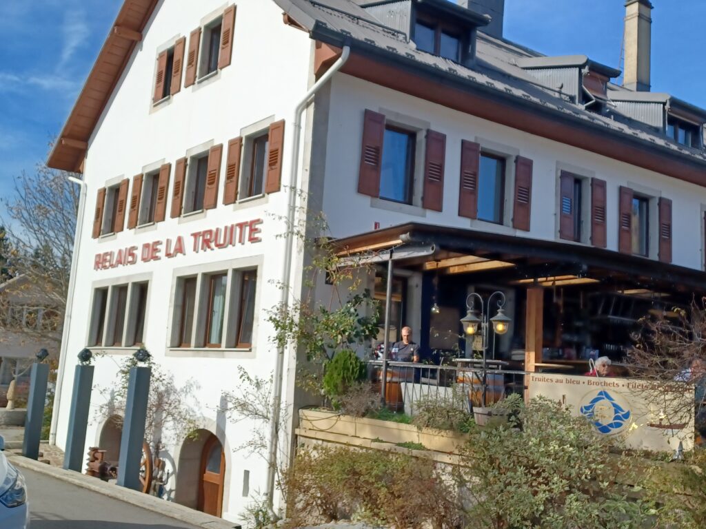
Following the prescribed path to Le Pont, Nicolas and I were startled by a huge chamois crossing our path at speed pursued by Kobie who had taken a higher route with Peter. Fortunately, our furry friend gave up the chase and was once again reunited with his master. Our timing wasn’t too bad as we reached the Relais de la Truite only 5 minutes after the time that we had been instructed by the management to arrive by.
Our lunch spot
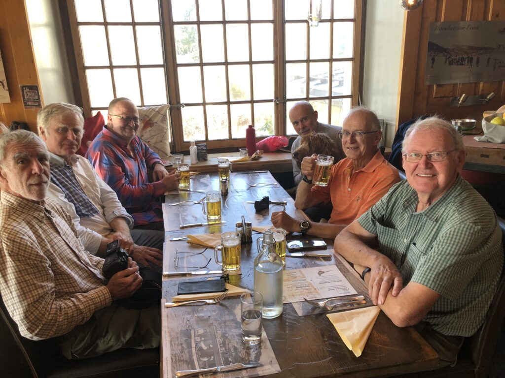
Plats du jour had been ordered in advance without any knowledge of their composition but moules frites were gratefully accepted by 6/7, with the seventh opting for croute forestière. Beers and a modest bottle of chasselas were enjoyed and we repaired to have our coffee outside in the glorious sunshine. Serious conversation subjects during the meal and whilst hiking covered many topics, including the state of UK politics, global warming and energy storage, as well as more lighthearted bantering. The “douloureuse” when it arrived was noted to cost each participant half of that paid by some of us earlier at a well-known resto below the Dôle, although in fairness, there was slightly less alcohol consumed!
Where are those mussels?
Reluctantly, we had to face the fact that we still had 8kms to return to our starting point, so we set off at varying speeds passing “toblerones” and the Breguet building at L’Abbaye. Curiously, most of the towns around the lake have rather simple names, the Bridge, the Path, the Place, the Abbey, the East, showing perhaps a surprising lack of imagination when such beautiful time pieces are created in its many watch factories.
Nine pairs of tired legs (including two of Kobie’s) reached our vehicles safely and Peter, Nicolas and Nathan decided to head off to try to avoid the rush- hour traffic, but Mark, Philip and Drew accepted my invitation for beer and crisps at our pad. Drew was then returned to his car and the three of us remaining took an circuitous route past Les Pralets which avoided the blockage at St George.
Distances were estimated at between 22 and 26kms depending on which Apple Watch, iPhone, Samsung Galaxy, GPS, website or map measuring tool was used, but we seemed to agree on a mean of about 24kms and a modest 200 metres ascent. In any case, it was more than a half-marathon! We wish Rob well and hope that he can rejoin our group asap. This, of course, applies to other GINvalids as well!
The Ardèche, The Pyrenees, London, Poole, The Cotsolds, Cinque Terre all featured as possible destinations for this week’s hike from our dispersed members, away on October breaks. Promotion even including free beer by some. However, the reality was that 4 stay-at-homes decided against excessive travel and joined a gentle, local hike on a pleasant autumnal day, with only a short shower on our exit from lunch and as we arrived back at the cars at the end of the walk.
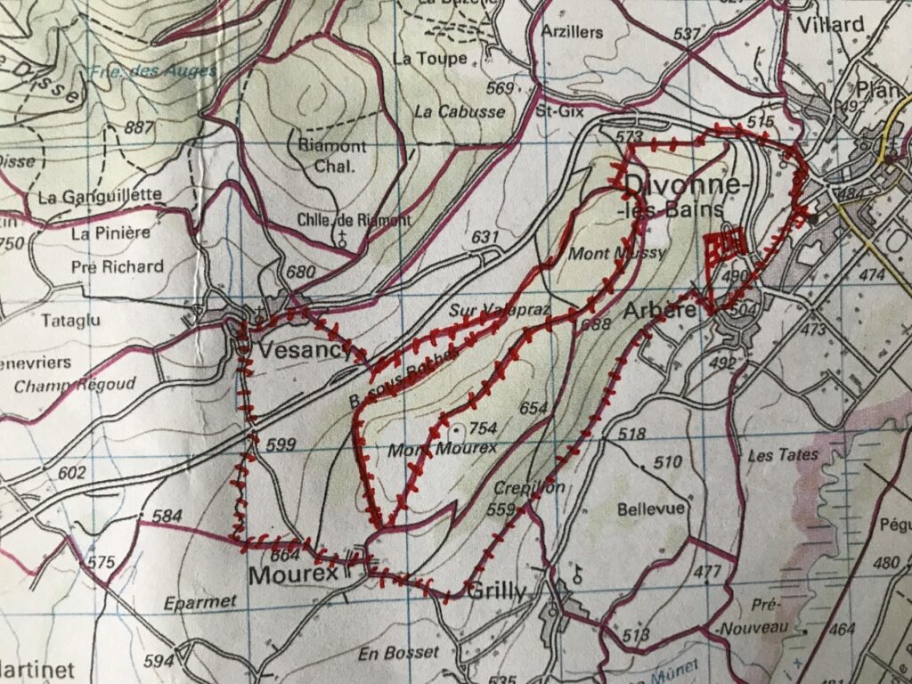
Stephen, Andrew, David and newcomer Nathan, a Tannay neighbour to David, met at the Divonne car park near the old station. On this occasion, Andrew was not left waiting at the incorrect three words location used on a previous occasion. Nathan avoided any potential confusion by hitching a ride with David. The plan was to walk up through Divonne to Mt. Mussy and onto Mt. Mourex, then passing through Mourex and to Vesancy for lunch at the Ô Château restaurant. After lunch, time permitting, walking up to the Riamond chapel and maybe up to the Riamond (881m) before returning to Divonne via the golf course.
Not all the paths were known so there was a certain sense of adventure as we checked maps and signs along the way. However, it transpired that Nathan was taking his first outing with us seriously, not only having prepared with a walk up the Dôle the previous day but also fully equipped with a satnav. He was able to identify our exact location and the most likely direction to arrive at the planned lunch spot. Credibility was somewhat tarnished when he informed us that there would be a building 200m further up the path, only to find no trace of one.
On the right path but where is that building?
Undeterred, he then questioned the leader’s proposed route suggesting that there was a more direct way to reach Vesancy from Mt. Mourex, by-passing Mourex. Without the usual multitude of differing route suggestions from various brands of hiking software, the group had no choice but to follow this lone advice. Certainly, it was a very pleasant wooded path, and it did avoid Mourex, but as we gazed at Vesancy receding behind us across the valley, with a scarp rock face between us and it, several thoughts crossed the leader’s mind:
• Our usual GIN Hiking leader would have led us down the scarp face and across the valley to lunch • He should have done his homework better and/or he should have used executive privilege to dictate the route • Newcomers to the group should have a probationary period (but not possible due to the GIN “only one rule” rule, the one rule already being used up) • Where else was there a restaurant nearby for lunch?
Happily, a path not previously identified eventually took us down to the valley with a corresponding path up the other side, backtracking towards our luncheon destination, vindicating the choice of route. I should also add that the leader had taken the late precaution of checking that the restaurant was indeed open and happy to accept us. David had seemed particularly concerned that he might not get lunch.
All’s well that ends well. We arrived only marginally behind the original timing plan and were greeted warmly by the restaurant, pleased to have their clientele boosted by 300%. Lunch was well up to standard, all of us taking the menu du jour of salmon, shrimp and jellied guacamole starter with leg of duck and vegetables as the main. The house red, Vacqueras, was also more than acceptable, as were the introductory beers. Discussion did not cover Scottish independence, which is now seen as inevitable.
Well fed, shower passed, and ready for the direct route back
The after-lunch planned route was amended to ensure a timely arrival back at the car park in Divonne. Unfortunately, this meant that the visit to the Riamont chapel had to be postponed to a later date. So, we followed in reverse direction the original, scarp free, plan from Mt. Mourex to Vesancy and then a known wooded path from Mourex, along the base of the Mt. Mussy hill, directly back to our parked cars.
Another memorable day out, great to have Nathan with us and, no, we’re not envious of those absentees in far-flung places.
Statistics: 18.8 km, 430m elevation climb, max elevation 760m, total time (including lunch) 6h5m, walking speed: gentle.
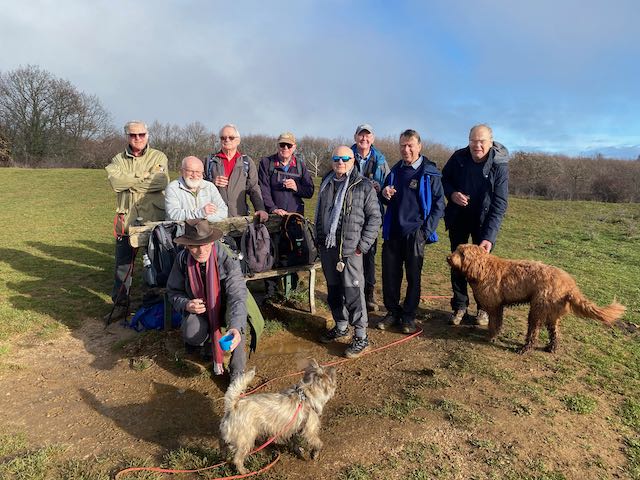
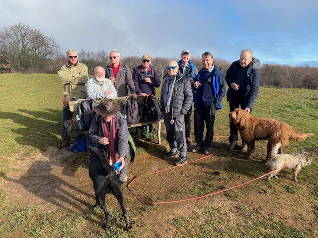
This had been billed as a 12km and 600m hike. However the forecast was for rain and the temperature had dropped, so after 6 of us plus dog met up at pte 971m in the Rte 7 above Bassins, we elected to change the hike to include the Refuge Les Pralets, which on the internet indicated to me that it would be open. That meant a changed start driving up to pte 1128m (by the i) on the same road. This would allow us to access Les Pralets for lunch.
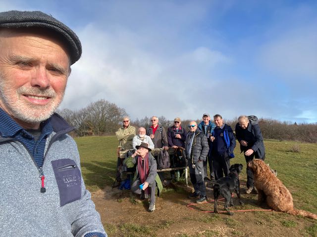
So at 10.15am the team reassembled. Here was Stephen fresh from his ascent of the Barillette by bike in a snowstorm two days earlier (for which he is sure to win the GIN 2022 MOTY award), Andrew looking fit and fresh from Geneva, Mark2ts who had driven up alone as Lorna (Doone) had tested positive (he looked fresh), Mark2rs fresh from his Singapore sling adventure, RichardS not fresh from his London conference planning and me somewhat fresh back from Latvia with my faithful Cobberdog Kobie (from Coppet) looking forward to fresh air.
It was indeed fresh. With zero degrees at La Dôle and 7C at St Cergue, rain forecast and lowish cloud, no shorts were on display. Instead gloves, hats and warm clothing with rain gear was evident. We set off westerly and then NW along the green trail (shown) towards Les Pralets hoping it would be open as advertised. The rain had not yet started and spirits were reasonable.
Heading towards Les Pralets – still dry but a little chilly at 1250m
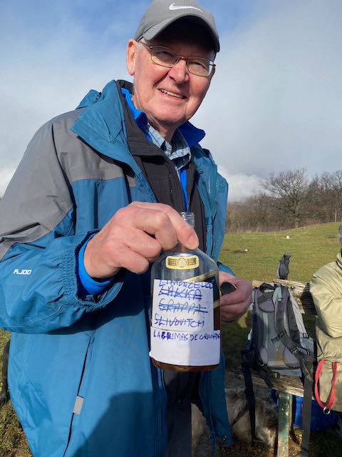
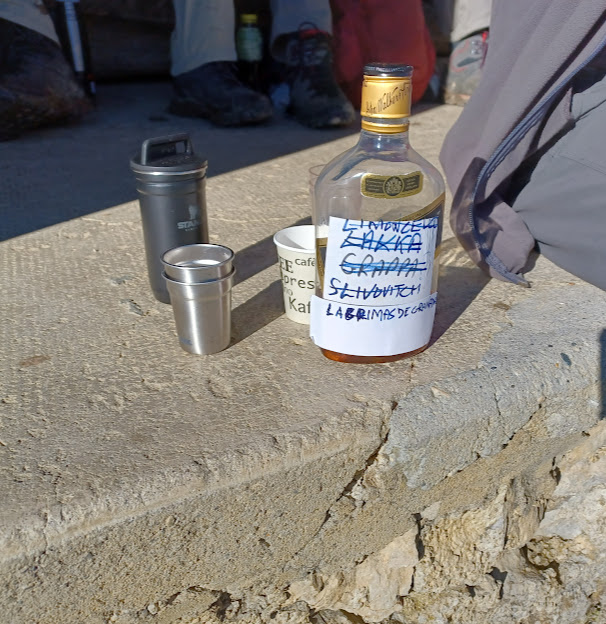
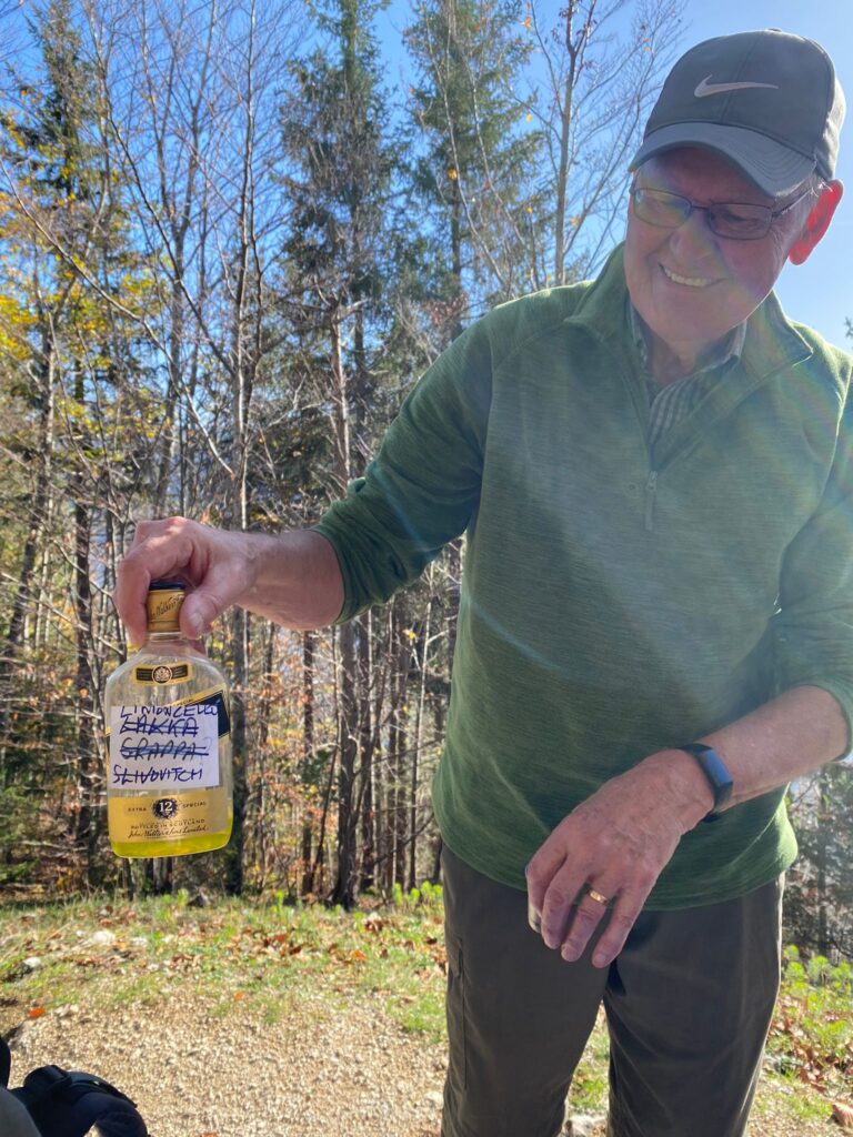
In order to revivify the party Mark2ts established a coffee stop under a tree, light rain was starting and as always he generously emptied his flask into cups provided. Seizing the moment, RichardS extracted his dreaded re-usable plastic Johnny Walker whisky bottle with who-knows-really-whats-inside.
Pedlar seen on the trail
The label read Slivovitch, but in reality he admitted that there was a mixture of sorts inside. It certainly went down well with the black coffee (there being no Mervyn with us to provide us with milk).
Kobie was on his best behaviour
Suitably fortified and with a sure belief that we would find a warm welcome at Les Pralets we continued on up the fairly easy trail through woods and across a field with some big hairy beasts that Kobie avoided.
Non standard beasties (photo RS)
Arriving at our targeted lunch spot before noon, we were sadly disappointed to find that Les Pralets was closed, locked with no-one in sight. With light rain falling but nobody around, there was nothing to stop us disobeying the “NO PICNIC” sign and using the tables under the eaves for our repas.
NO PICNICPICNICRed from Italy and France was on offerAndrew nearly loses it
It was another very convivial affair with some seriously good looking sandwiches on display that swiftly disappeared, some almost into Kobie. The Oath (GOC) prohibits the recording here of any details of our lunch discussion but there were reports back of recent travels, a joke about a zebra going to heaven, and some banter about the “new” UK government’s stellar start, Liz and Kamikwaze and much other amusing chat such that there was no need for recourse to RS’s Johnny Walker bottle. We toasted with our wine, to absent friends and to Deborah’s memory.
Kobie scored reasonably on behaviour. Some initial jumping up to greet people (to be worked on). No sandwiches stolen, and no getting lost in the forest.
Light rain had come and gone as had a large herd of cattle (the normal Jura variety), and it was time to go. The rain came back so Kobie was kitted out in his winter waterproof jacket (heck it is still September!).
Kobie displaying winter fashionLeaving Les Pralets
The route back followed the small tarmac road until a left turn could be made uphill to Le Planet (green trail on the map above). From this high point a pleasant trail leads down to an expansive viewpoint above a small escarpment.
The viewpoint with Lac Leman hidden under cloudsSix happy hikers
Happily heavy rain held off and we were able to saunter back down and across to the cars after 10km and 310m. A fairly easy day in cold conditions made warmer by the company.
Apologies were received from several including Thatcher, Rob, Mervyn, Keith, Philip and David. We missed them; they missed a convivial Jura stroll in cool, dampish and fresh conditions.
What did I miss ?
Peter
PS. I shall be away for the next hike – so leave to to any and all to to plan a hike on 13 October.
On 27 October RichardS will be planning one of his infamous Tours of Lac de Joux.
An earlier hope to mount an attempt on Le Jalouvre was stymied by a poor-ish forecast, so we reverted to a tried and tested ascent in the Jura up to the Barillette. There were a number of members expressing regrets, excuses and some citing recovery from ginjuries, but a magnificent 7 turned out. With the leader (me) not specifying correctly to Andrew the meeting point we set off a little late from Divonne to join Rob at point “888” on the Barillette road in what turned out to be reasonable weather.
Attending : Andrew, Mark2ts, Mervyn, Rob, Peter, Richard S, Stephen.
Shorts were clear winners at 5 to 2 and a spritely crew set out up the trail to the Barillette mast. We made steady progress up the leafy trails that wind up through the forest, gently in the most part but with some steeper sections. Just before the exit from the woods we stopped in a clearing and Mark brought out a flask of strong coffee while Richard touted his not-so-strong-as-his-others, Finnish Lakka.
Mark serves coffee
Mark touts Lakka but Andrew abstainsThere were a number of takers however
Thanks to both as we were delivered fresh and with renewed vigour onto the road. Rob inspired us to climb the final 50m to the mast at 1528m where we took in views the Lac Leman.
Seven lags before the mast
It was time to descend to make our 12.30 rendezvous at the Restaurant de la Barillette where we entered our old haunt of previous temperance encounters.
La Barillette plate
We scanned the menu but it was clear that, after some beer, 7 fondus were needed and before that two plates of charcuterie. The preferred wine was Debluy chasselas which helped the liquid cheese slip down rather nicely as we watched the rain pouring down outside.
The good, the bad,…Rob gets to appear twiceAll uglyNo need to say cheese
My recollection of the lunch-time discussion is rather hazy, and without significantly breaching the Gin Oath of Confidentiality (GOC), I seem to recall that Fermat’s Last Theorem stated first in 1637 (for any integer >2 the equation a^n + b^n = c^n has no positive integer solutions) was given a welcome airing; however Mark chose not to explain the 92 page proof established by Andrew Wiles in 1994. (Editors note – I could not find how to type powers properly…).
We toasted absent friends, the King and recently departed Queen, as well as Deborah. Mervyn told us she would have certainly expected him to have attended today.
Other discussions covering such subjects as UK Politics, Scotland, Tunisian food, Ukraine, UK Sterling and dogs shall remain subject of the GOC.
There being no Alpenhorn party on this occasion, after tart and cream desserts, coffee and flask stuff, it was time for the descent back to the cars, passing under the Rochers de Pierre Lente.
Starting the descentBlessed by some sun
The forest trails down through the Jura slope were traversed in some welcome sunshine, and despite some bum-slips on the steeper muddy tracks (at least by me), mostly without incident.
A fine hike in good company with a pretty decent fondu. The rain came along later that day.
I made it 11.9 km and 663m, albeit others might beg to differ.
The hike with heart rate colouring
PS
My recommended podcasts 1. The rest is politics 2. Infinite Monkey Cage 3. New Statesman
So many excuses were received for this first hike in September that it seemed for a while that only Stephen and David would participate. Admittedly, Stephen had indicated a drive to Morgins would be required and that first indications of the weather were not favourable. In the event, a final call resulted in a 50% improvement in numbers, Mark2Ts being happy to be transported by David on the way there and return via CFF.
The day dawned bright. SwissMeteo kindly readjusted its forecast to rain-free. The allotted meeting time of 09.30 at Stephen`s chalet came and went and by 09.40, the walk leader was becoming anxious. Thanks to mobile communication, he was reassured that Mark and David were indeed only 6 minutes away. They duly arrived, sheepishly admitting that David’s satnav had led him on a detour heading towards his usual destination of Villars, happily realised before his arrived there.
There was some possibility that we could have had a female participant (would this have been a first?) but Kate, with inside knowledge of the leader, decided for a less strenuous day. The intrepid 3 set off through Morgins village, up to the pas de Morgins and into France. So far gentle. From there a recently found track could have led for a near vertical ascent to above Chatel had the designer not decided to insert a few tight bends as a less arduous route. Even so this rivalled some of the usual GIN Hiking leader’s steeper routes. As it was, the GIN men were tested and reached the heights, sweated but not broken.
Sweaty but victorious
As we climbed about the tree line the panorama opened out with views down the valley to Abondance and across the valley to the ski areas of the Linga and Pré la Joux.
The hills are alive with GIN Hikers
From this vantage point, a slight descent and then renewed climb within close proximity of the Super Chatel cable car station. Cable car and chair lifts were operating but seemingly with little custom. Stephen artfully cut a corner to prevent the other two hikers taking the short detour to the restaurant, having already phoned ahead to the intended hostellerie a little further up the track. Chalet Neuf was reached shortly before 13h, ahead of schedule.
The restaurant was busy. Many of the alpine work force having decided that this was a suitable location to re-fortify themselves over a long lunch break. Unfortunately, there was a lack of waitresses….one in total to be exact….who had to serve both outside and inside clients. An immediate order of beer and panache managed to fill time before the fondue and viande sechée (and the essential carafe of fendant) order was placed and eventually delivered. The sun disappeared behind cloud, the new freshness in the air requiring additional clothing layers, allowing fondue to seem a more appropriate choice for this time of year.
Fondue à trois….and improving selfie takingHow many GIN Hikers does it take to divide the bill by 3?
We eventually left the restaurant at 14.40h, not before the GIN Hikers traditional Scottish digestive was consumed, courtesy of Mark, with the coffee. A short, but steep climb especially as blood was not focused on leg muscles, took us to the Portes de Culet, with its splendid view of the Dents du Midi.
4 old friends (one inanimate)
There was a possibility there for the short, 40 minute climb to the Belleview. Rejected. However, due to the later time than anticipated, modification was needed to the planned itinerary even though Mark said his next commitment was not until the following Tuesday. The leader took an executive decision for a direct decent on the road. This was rapidly vetoed by David, who suggested an alternative unknown grass track, albeit marked at frequent intervals with red “Swiss Peaks” flags, indicating that it probably lead somewhere. Several fit looking individuals passed us at speed going uphill in the opposite direction. It did indeed lead us down to Morgins village eventually joining with a route more familiar to the local resident. There’s a moral here….something about being open to new ideas and not being too blinkered.
That red flag must indicate something…..…..the voyage of discovery. Which way is Morgins?
Kate was waiting for us, after her relaxed day, with welcoming tea, fruit and biscuits. Farewells were said and David and Mark drove off down the valley after what we all agreed was another excellent day’s hike in the Alps. Just as Stephen was settling in for his post-hike siesta, Kate discovered unclaimed supplies that David had left in the fridge to keep cool during the day. New farewells were exchanged half-way down the road to Monthey as David’s evening’s rations were returned in a layby.
Statistics: ca. 14.2k, 3h20m moving time, 3h eating and resting time, min. elevation 1305m, max 1784m, 647m total ascent/descent.