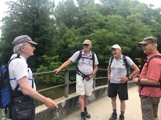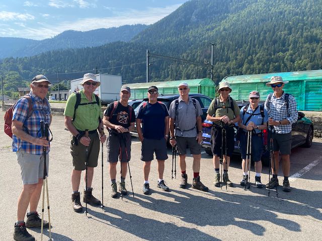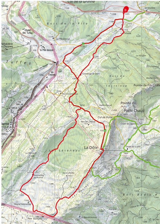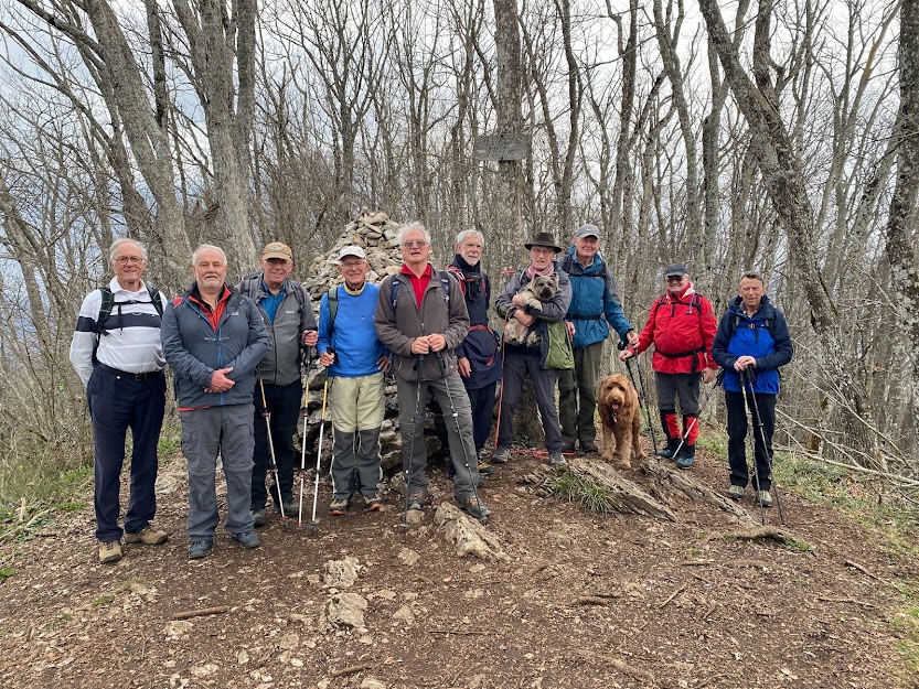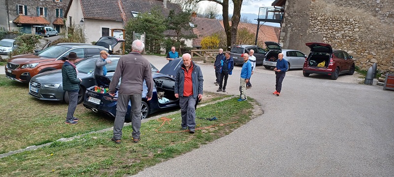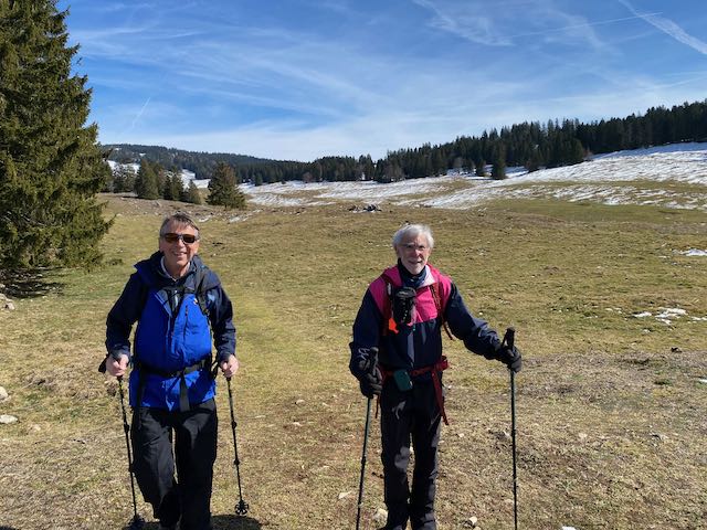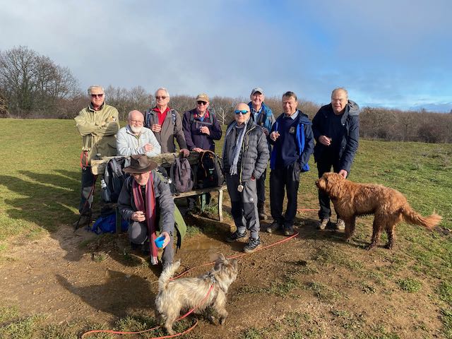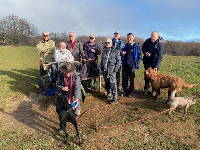
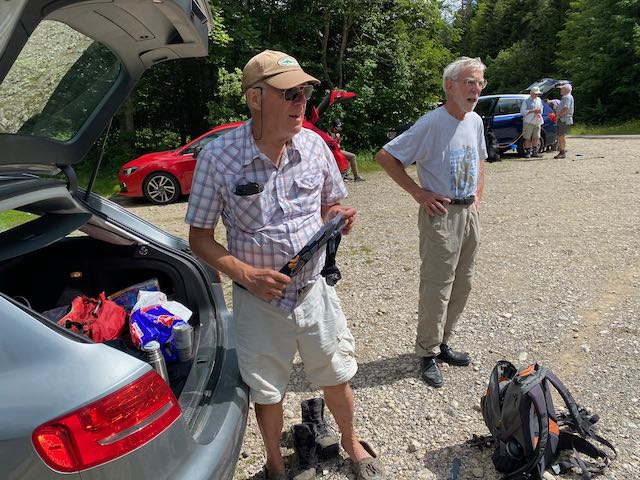
A fine day in prospect saw eight of us and 3 dogs assemble in the car park at Divonne for a Jura hike. Sadly Richard S and Peter Strebel withdrew at the last minute and were missed. Almost immediately it became clear that Mark Warren and I had the same idea of how to approach the Barillette restaurant – booked for 12.30pm; by driving up to near the Chalet de la Dôle and traversing the mountain clockwise. The alternative would have been a long slog up nearly 800m from Florettaz – one for another time/team.
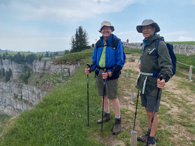
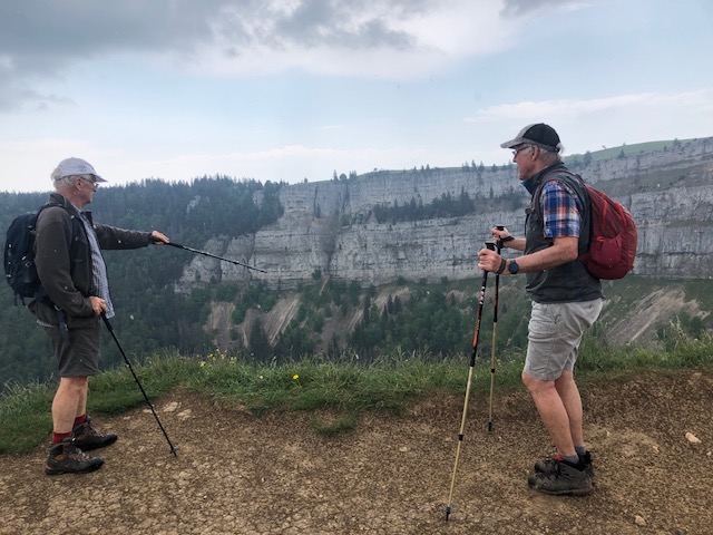
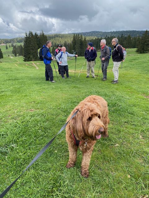
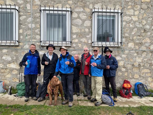
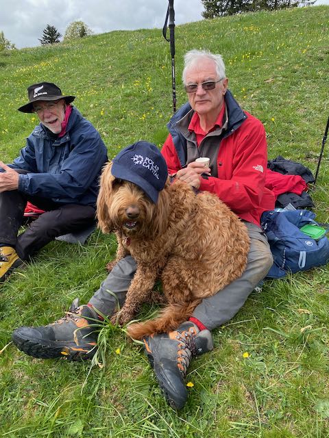
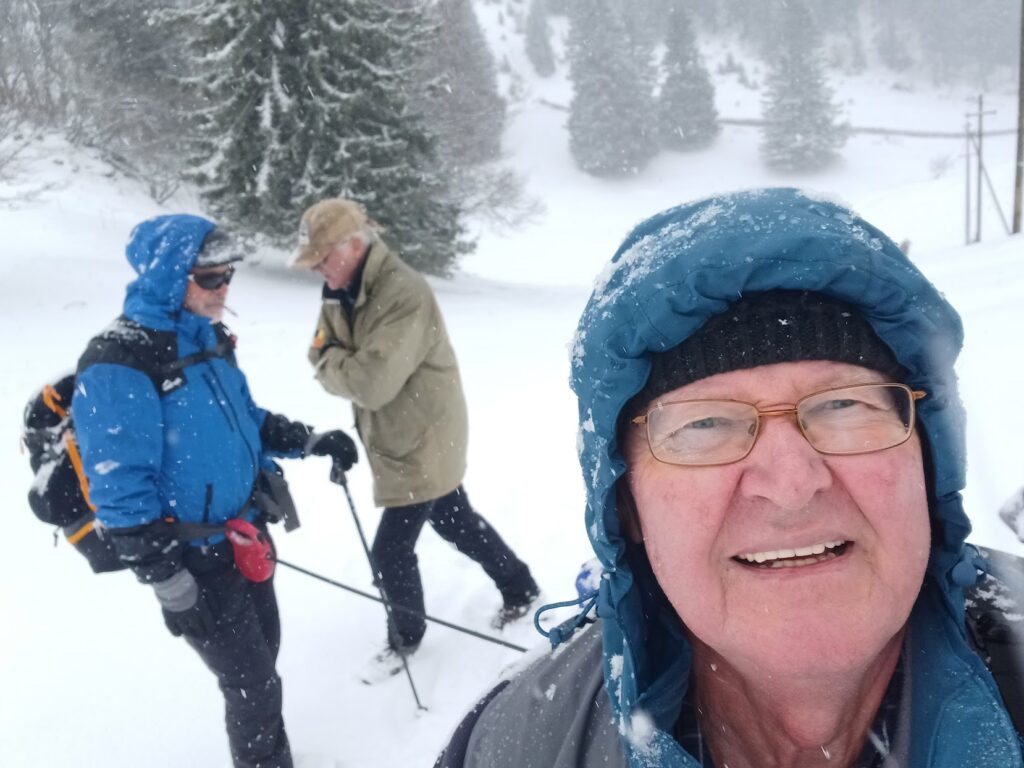
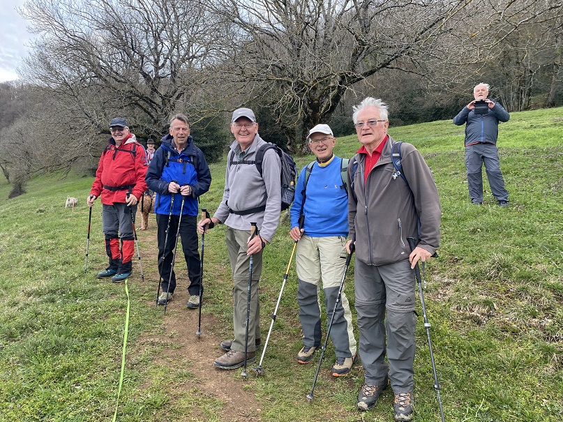
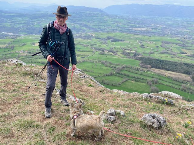
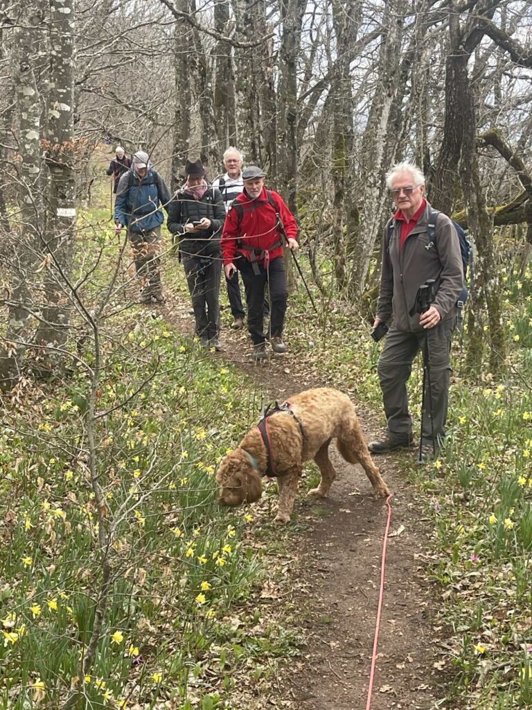
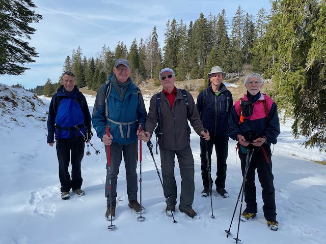
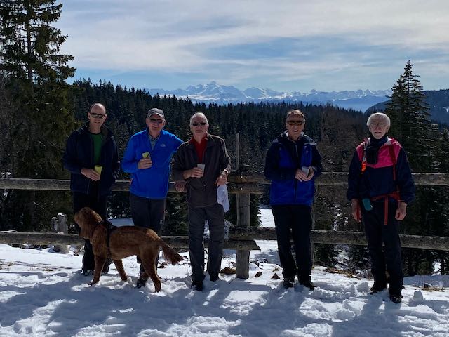
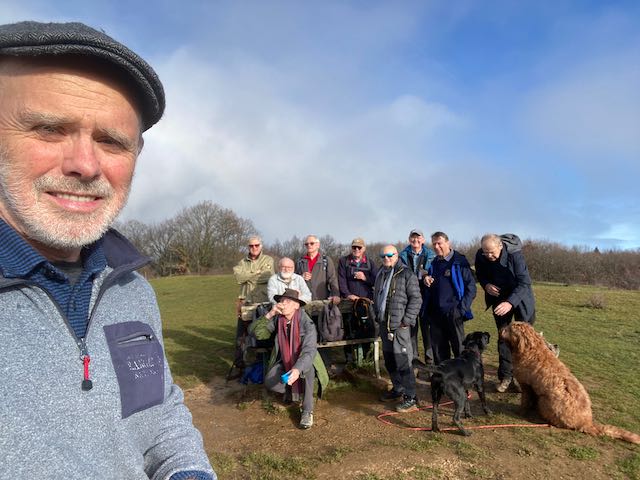
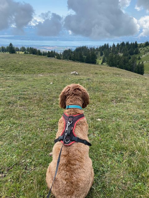
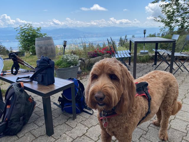
Attending – Marks W1 and W2, Nathan, Mervyn, Larry, Mike H and Rocco, Nicolas and (Tiray Pas) Onyx, and me and Kobie.
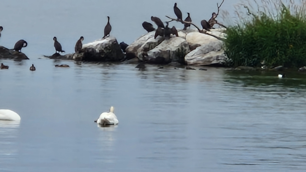
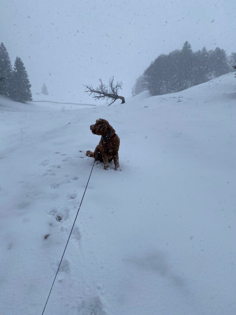
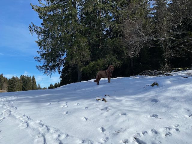
It did not start well when Onyx followed Kobie into the Divonne fountain pond.
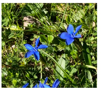
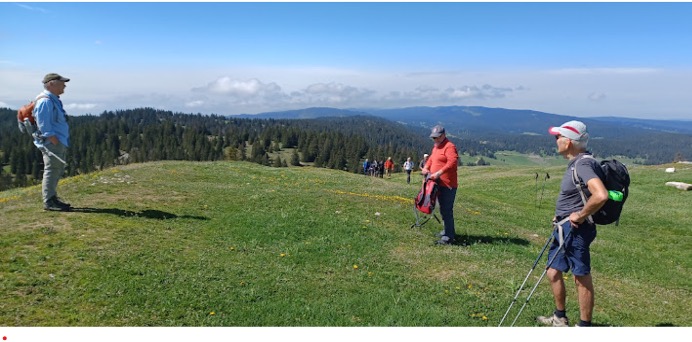
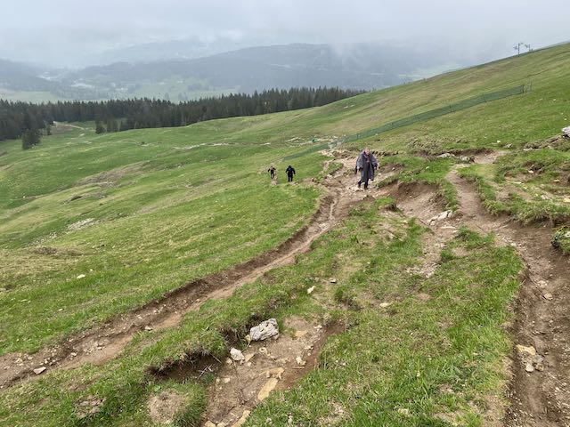
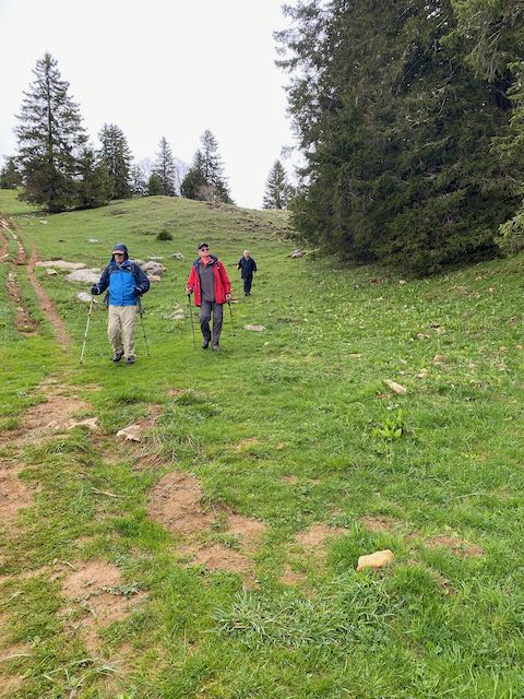
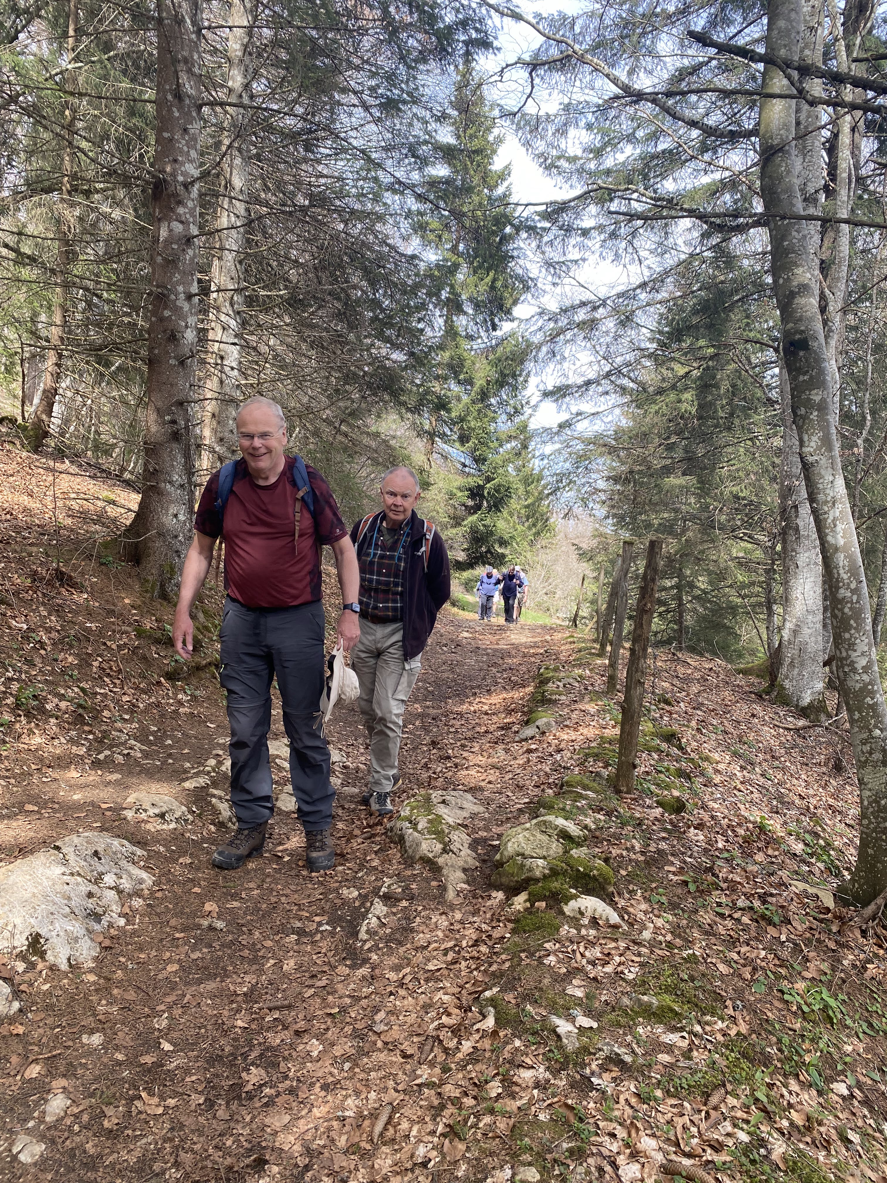
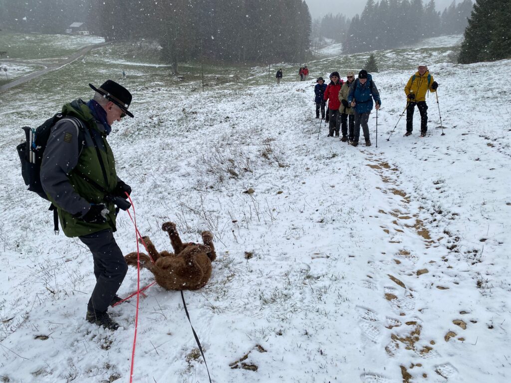
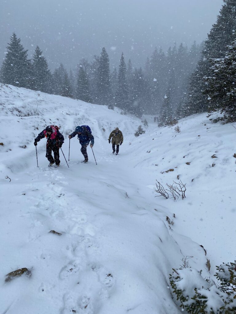
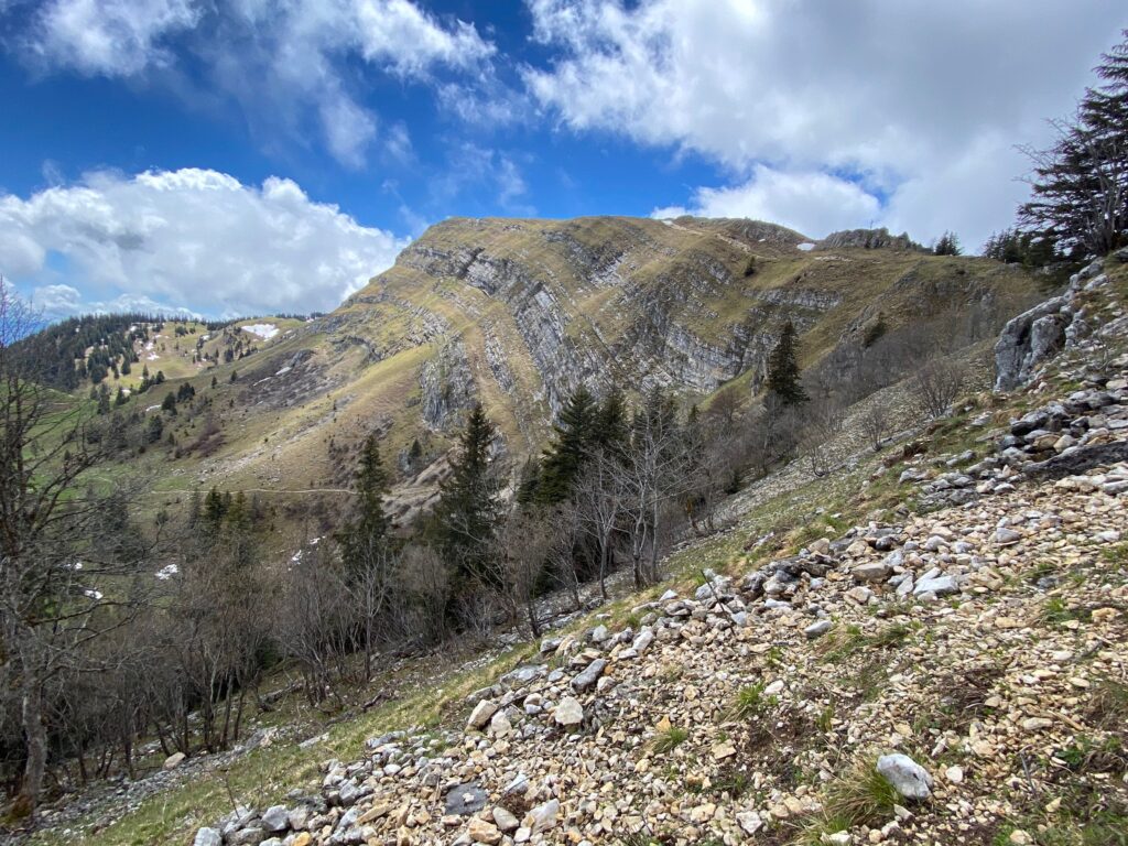
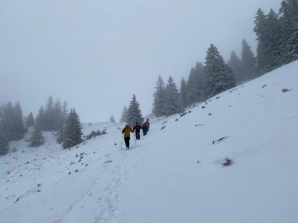
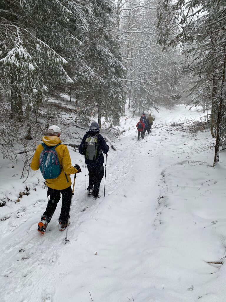
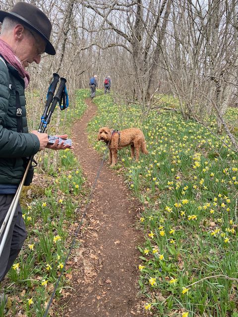
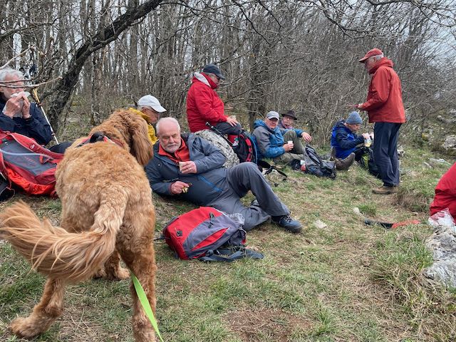
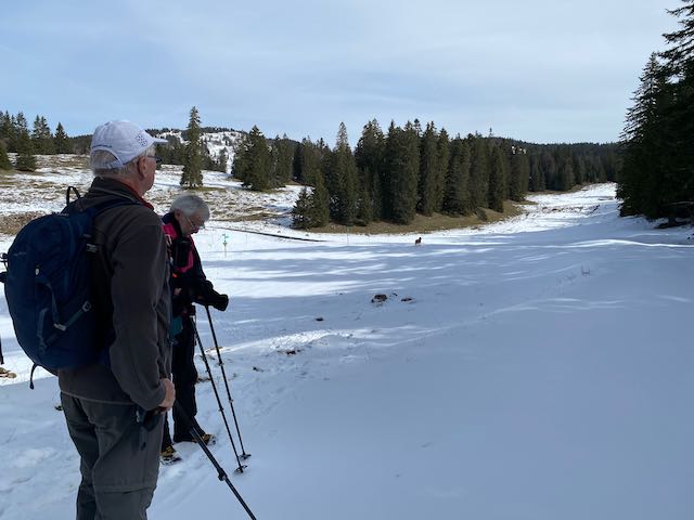
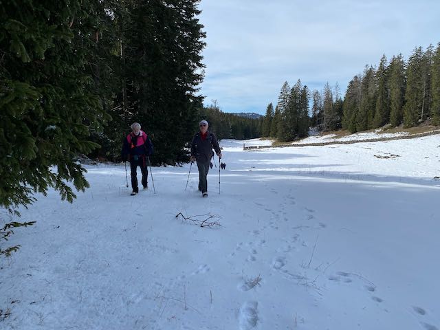
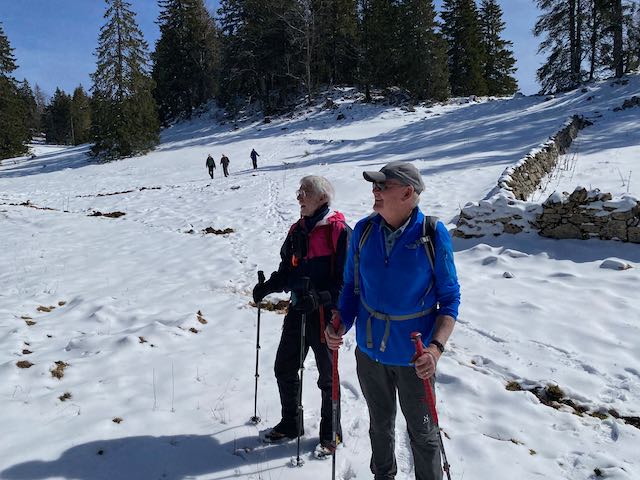
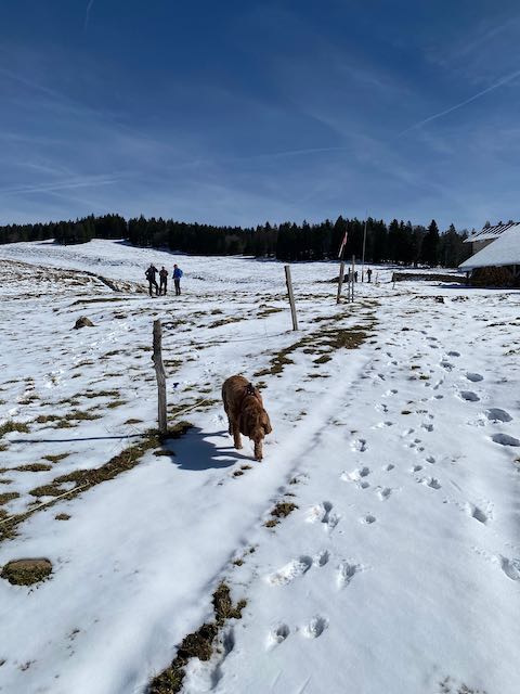
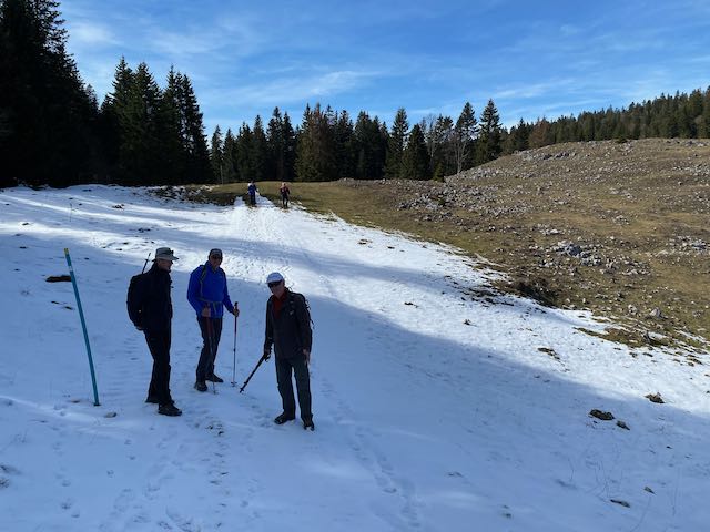
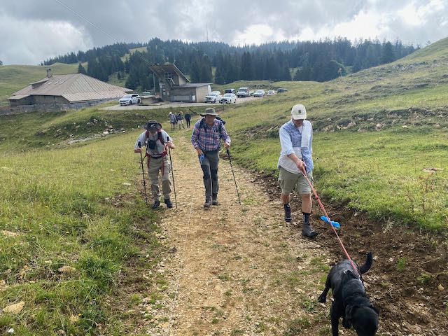
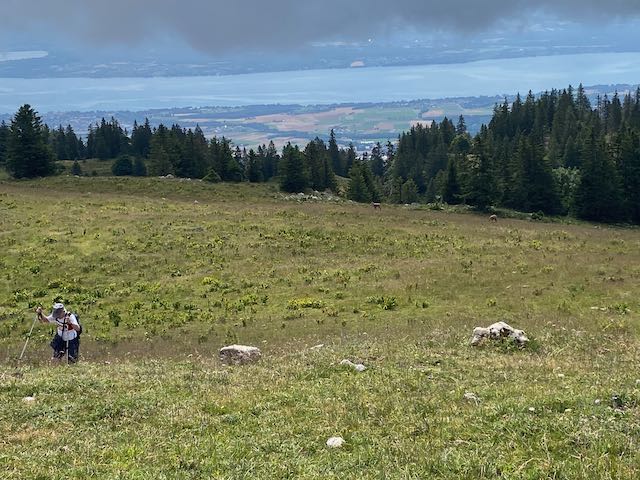
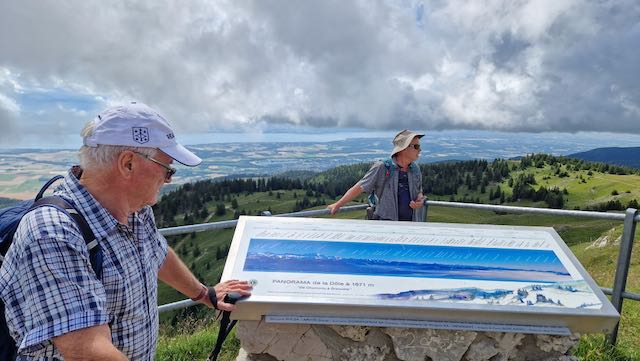
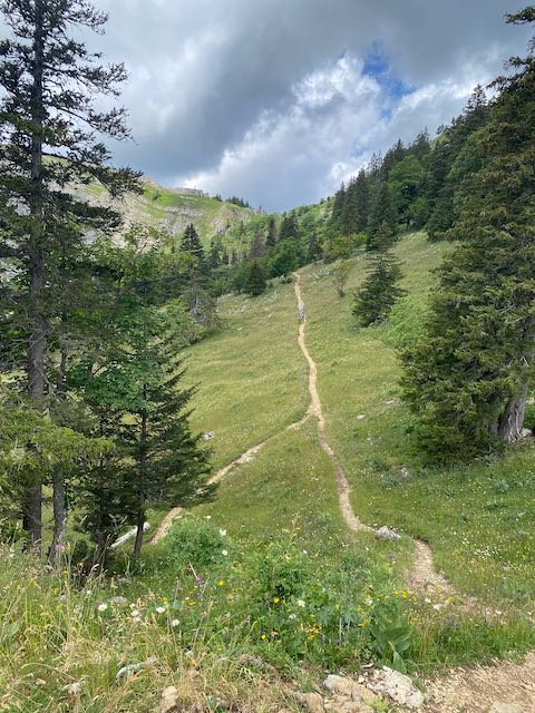
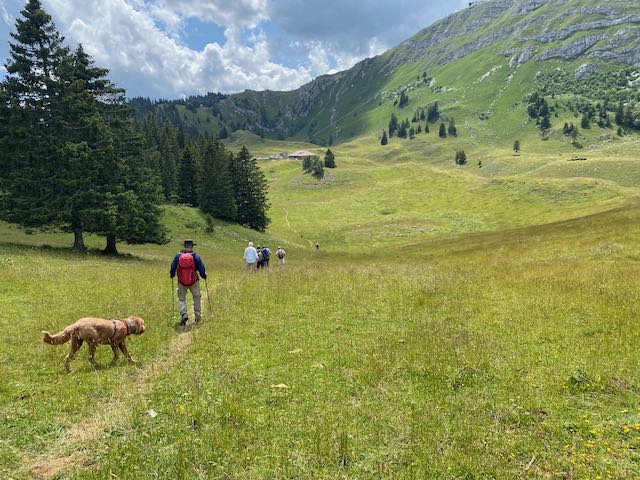
Safely up at the parking at 1418m we set off to scale La Dôle (1677m) passing the Chalet with all dogs leashed. Cows and chamois were abundantly evident, as were hares.
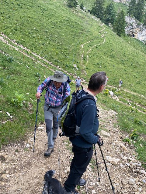
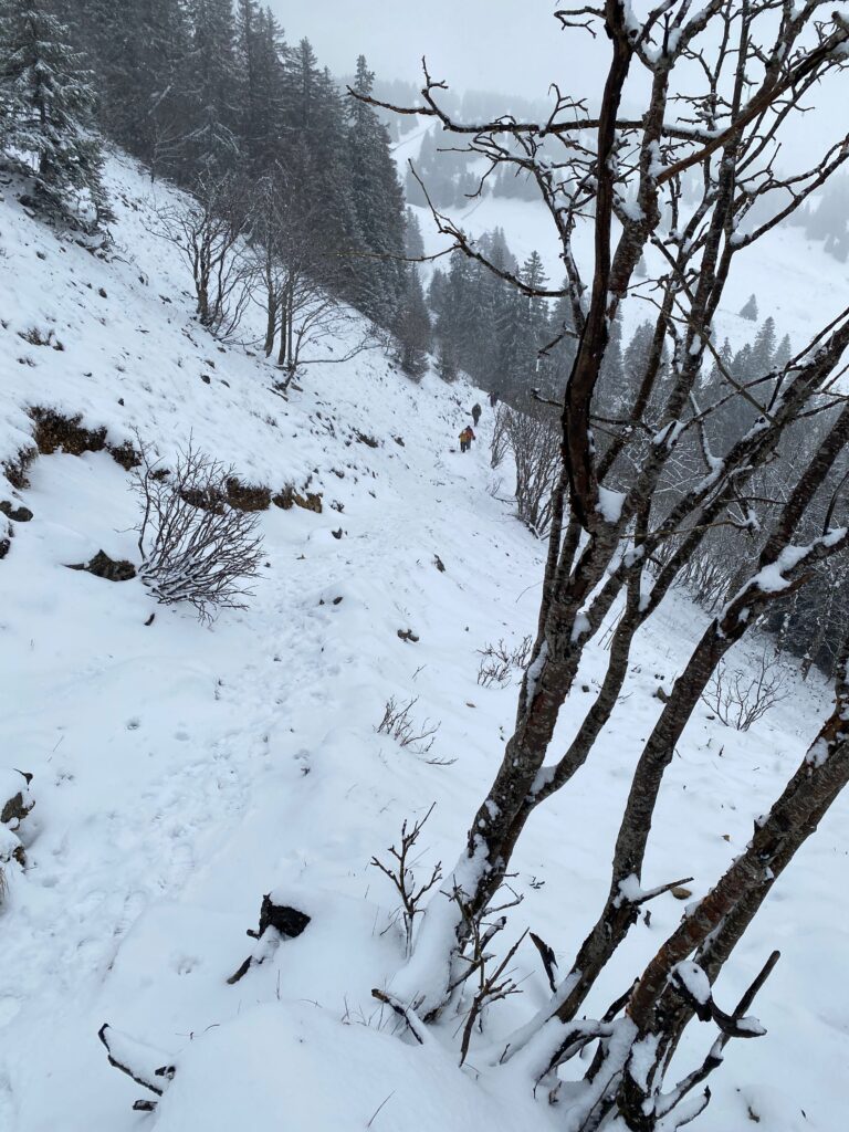
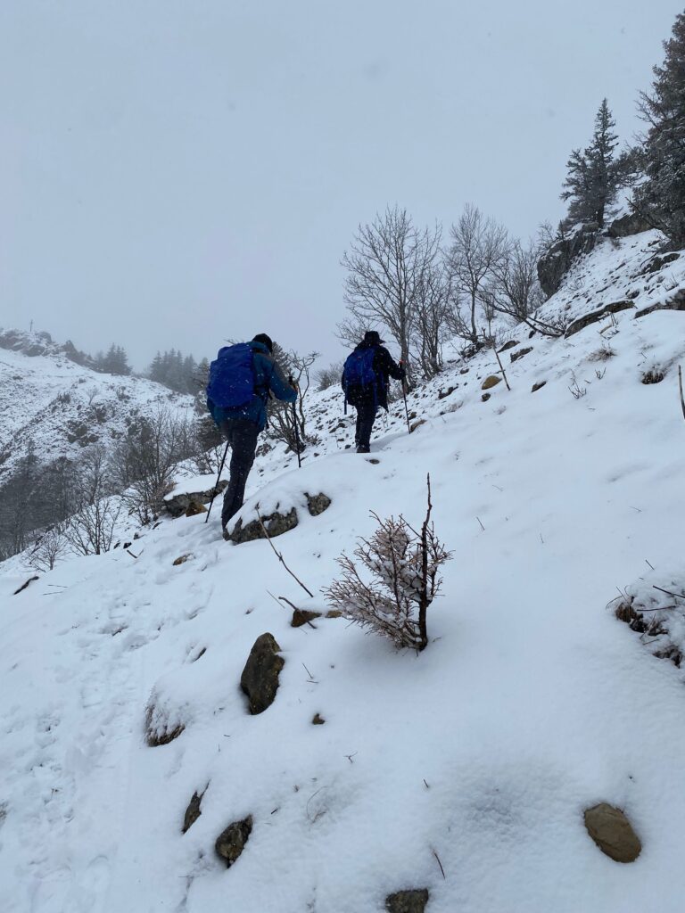
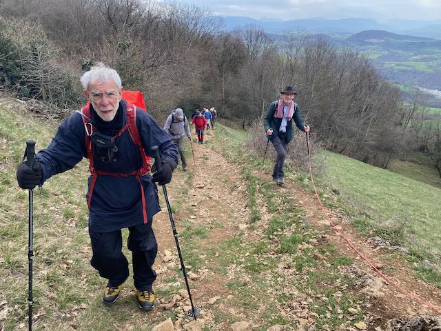
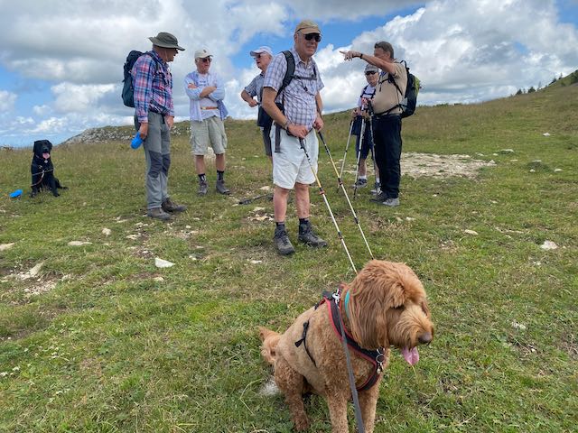
It was a fresh start with initial cloud on the tops and a nice breeze. We stopped a few times and then at 1632m on the ridge to allow stragglers to catch up. That was the last we saw of Nathan before the restaurant (where he arrived on time at 12.25pm, whereas we arrived after 1.12pm).
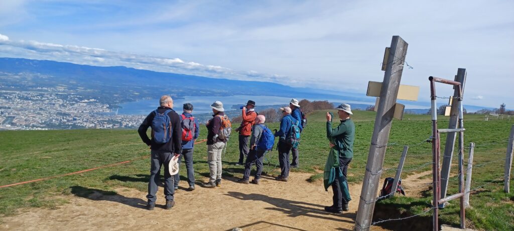
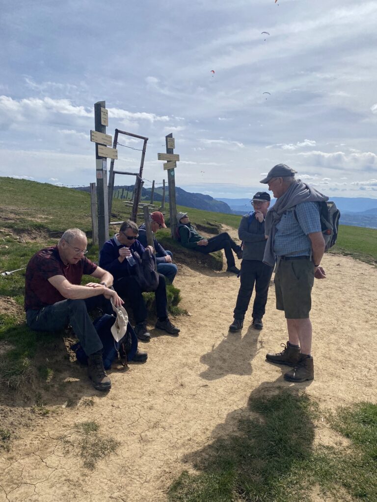
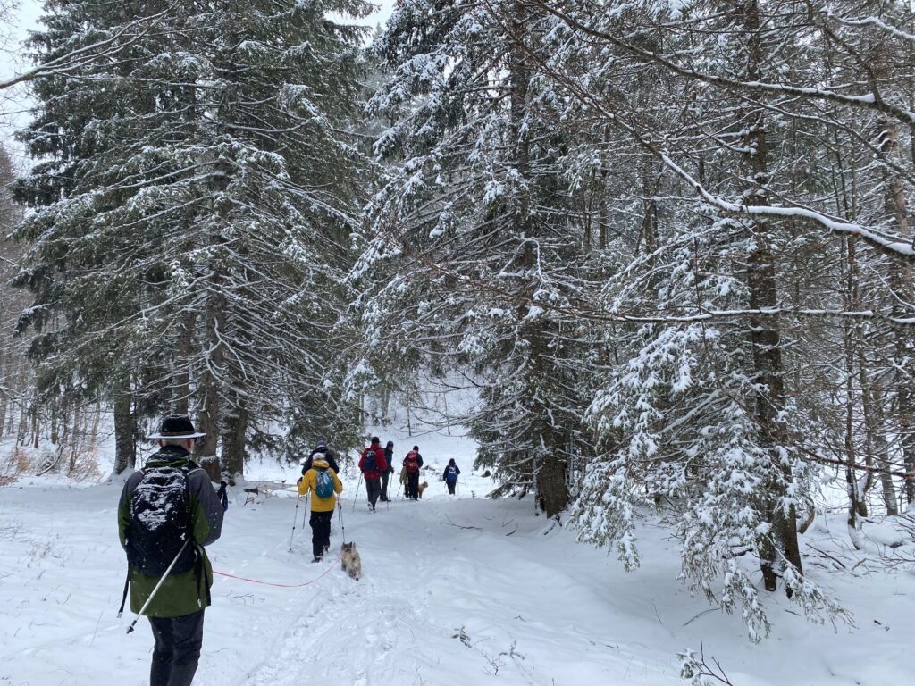
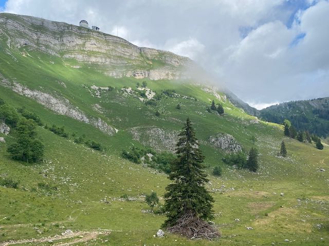
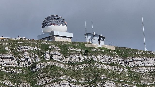
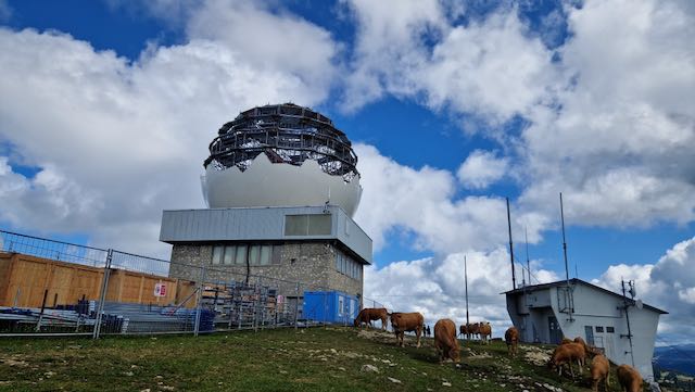
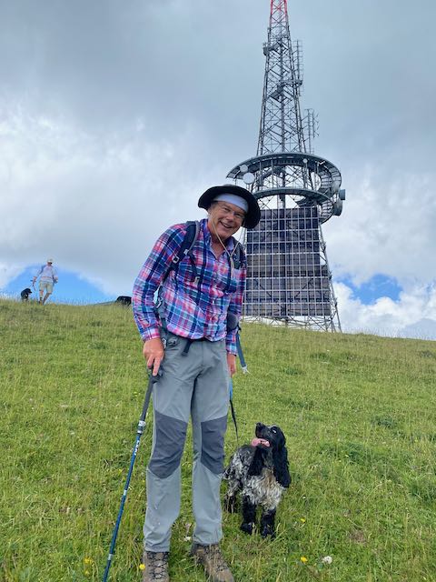
So we meandered up after Nathan and stopped at the top in the look out pen hemmed in by cows, looking up at the work in progress maintenance work being done on the radar ball.
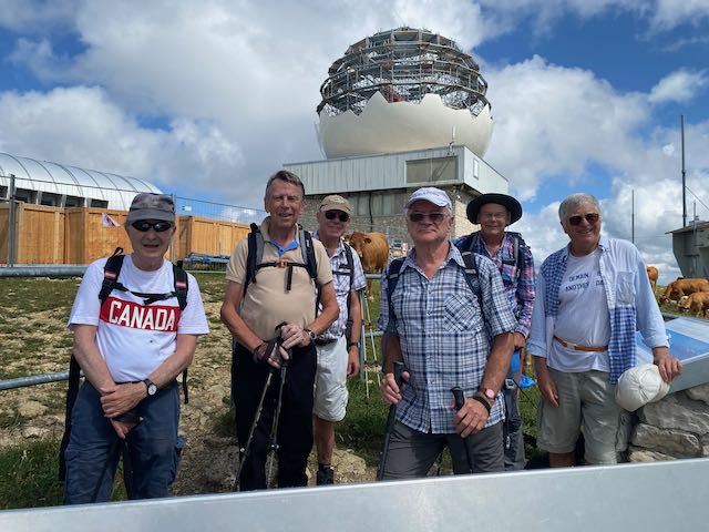
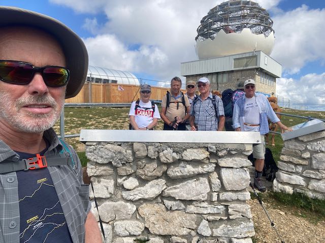
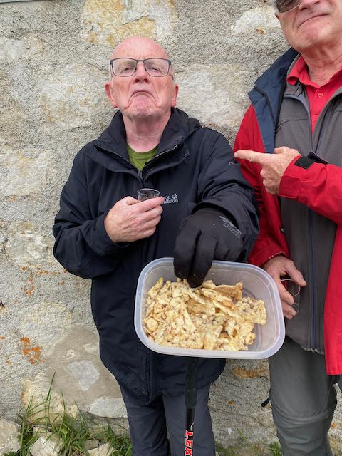
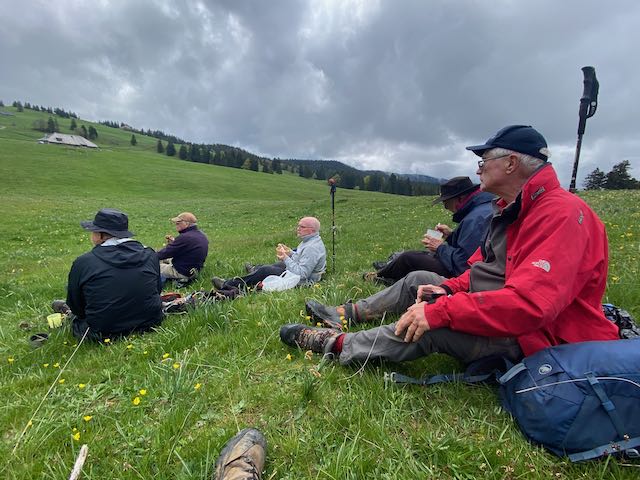
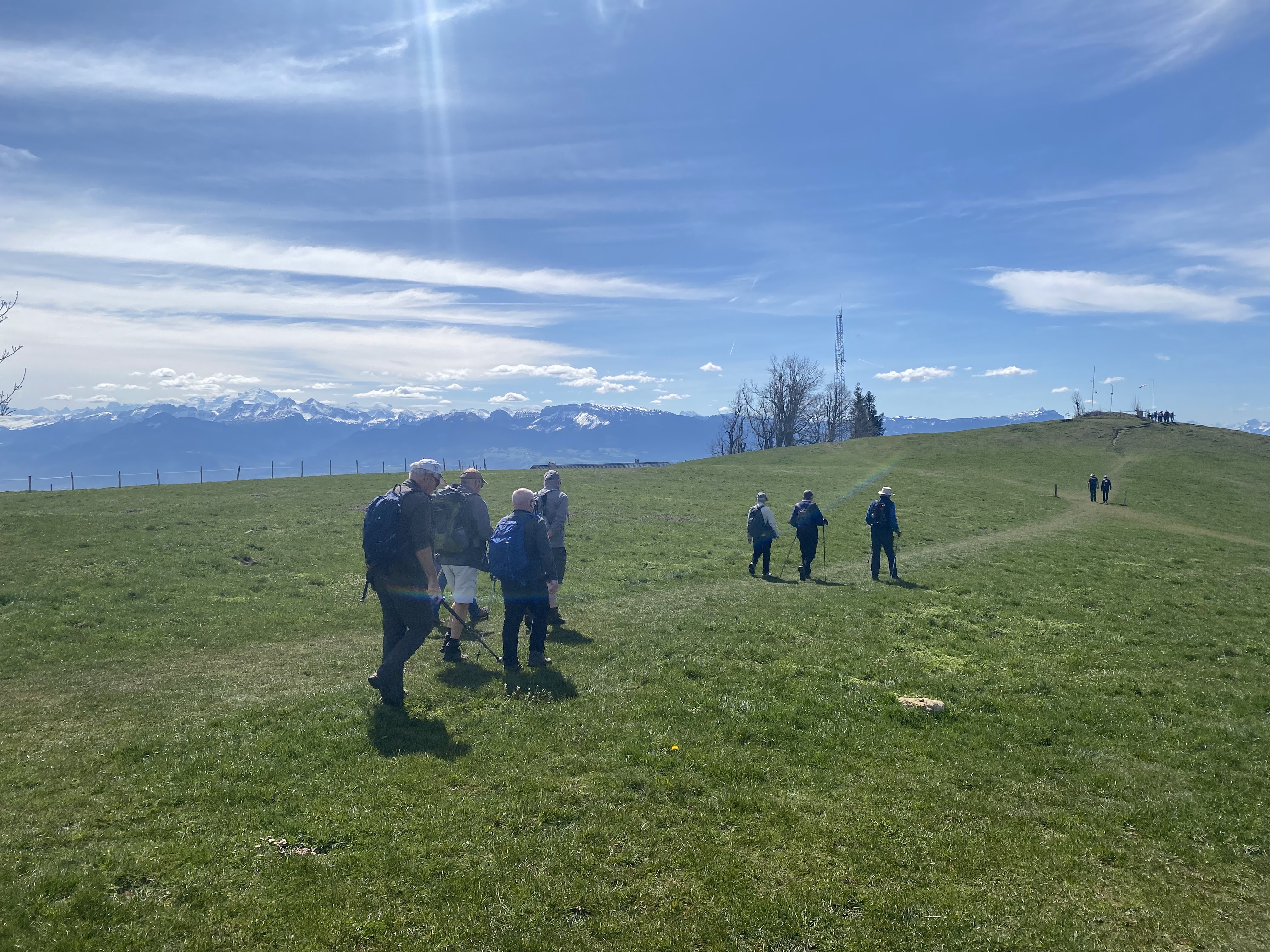
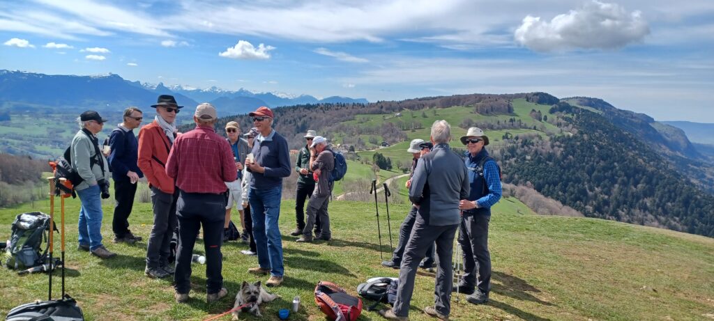
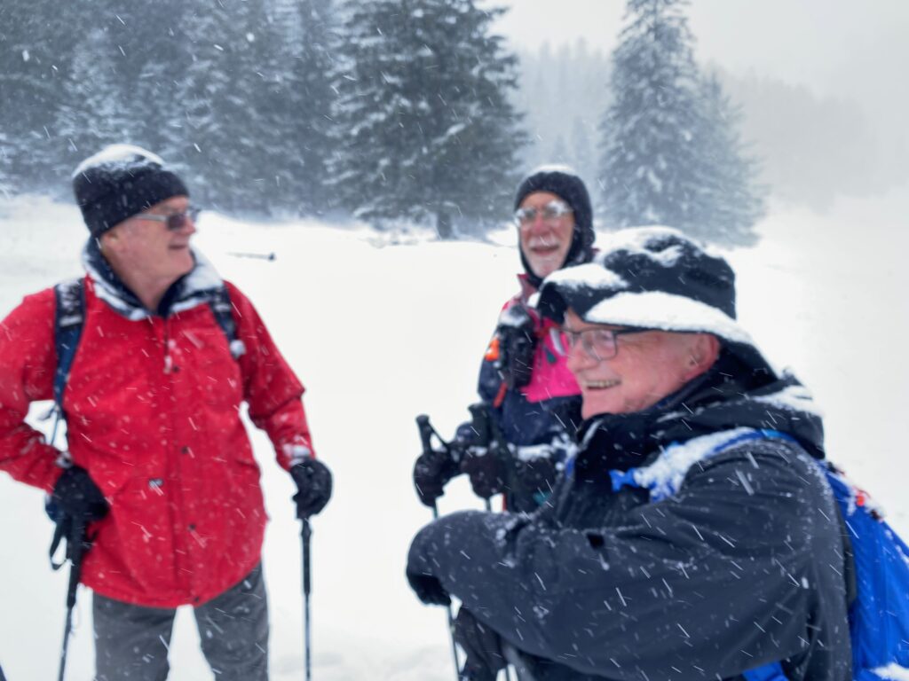
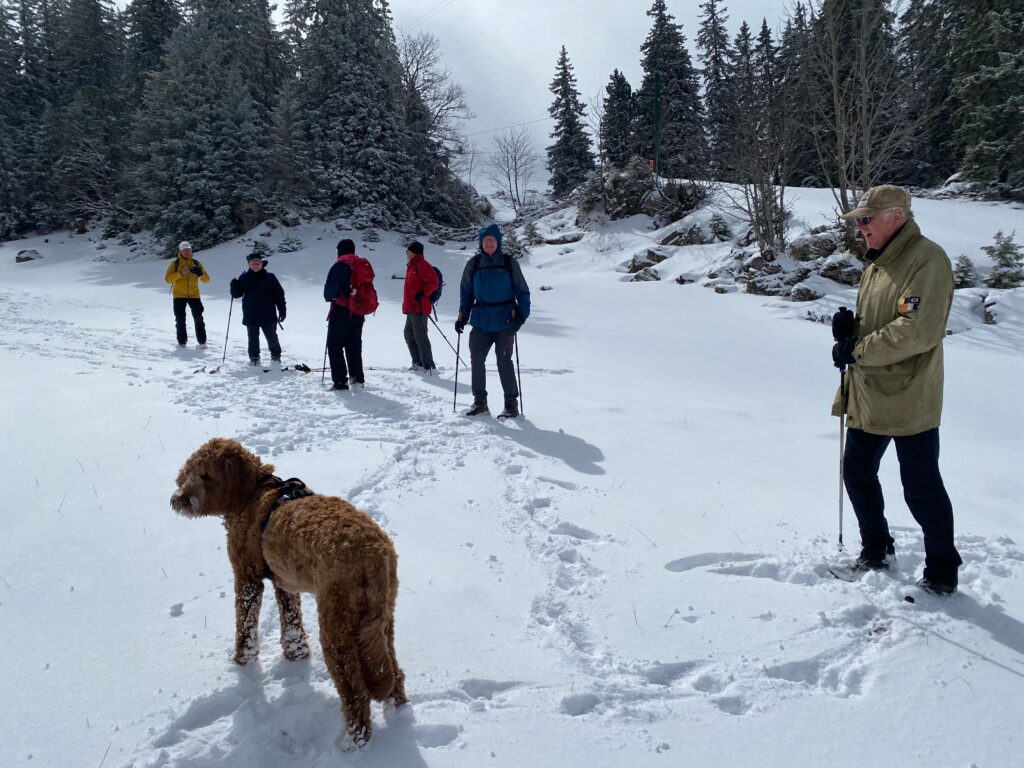
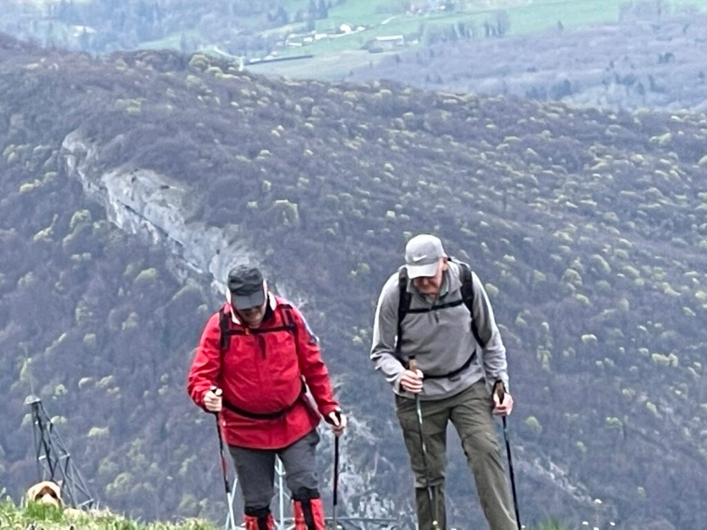
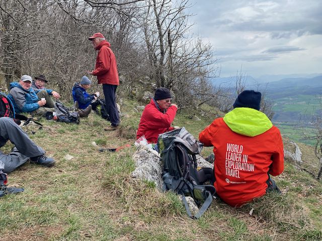
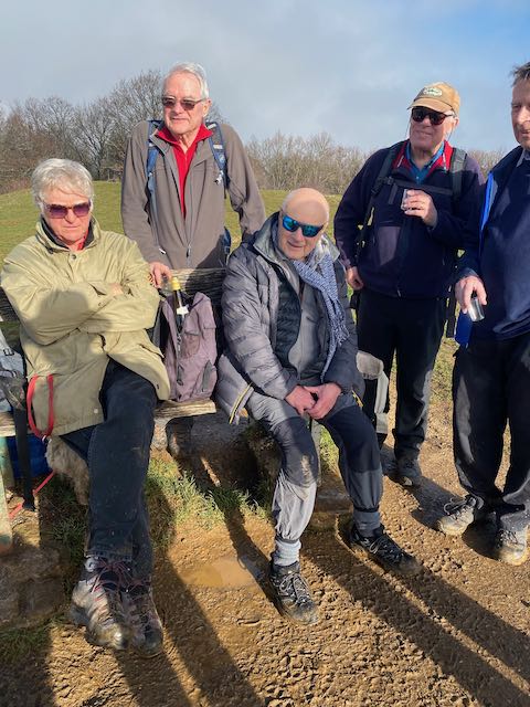
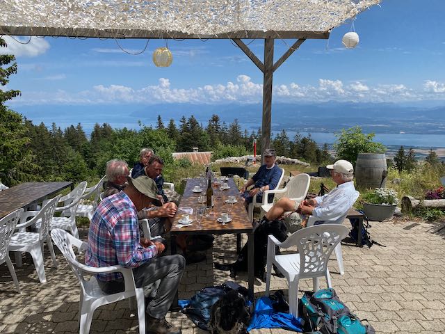
We decided to escape (slip past) the herd and take aperos on the broad ridge descending to Col de Porte at 1660m.
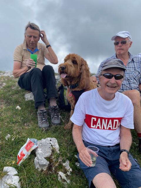
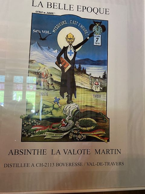
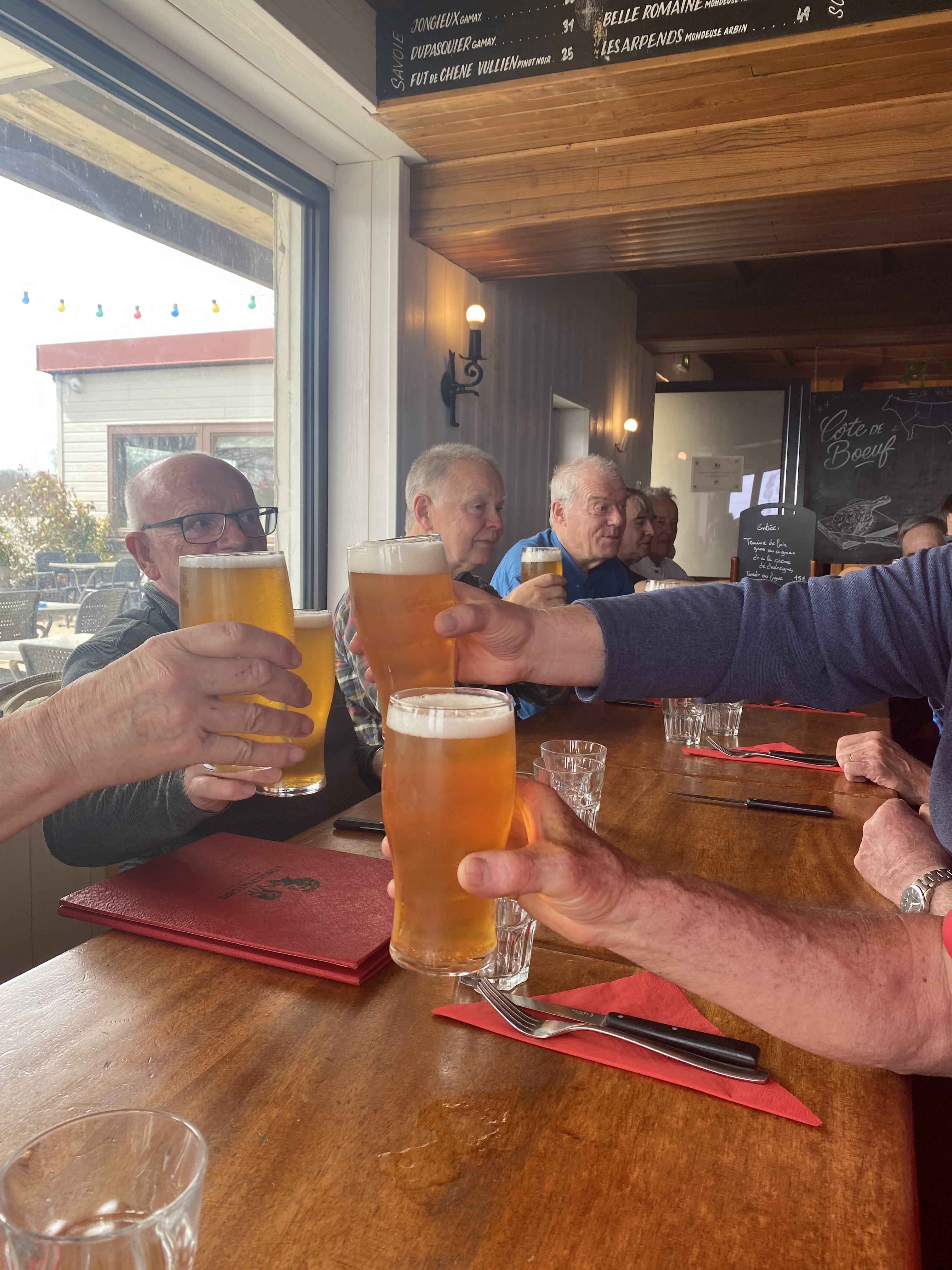
We toasted absent friends which at this time also included Nathan. There was some jolly banter about Niagra Ice Wine and other delicacies. Then suddenly we realised that we had 20 minutes left to get to the restaurant on time, but that it was at least an hour away.
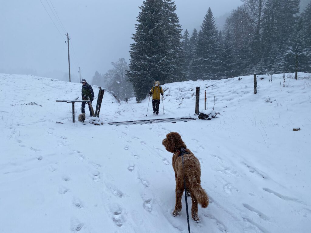
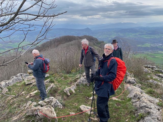
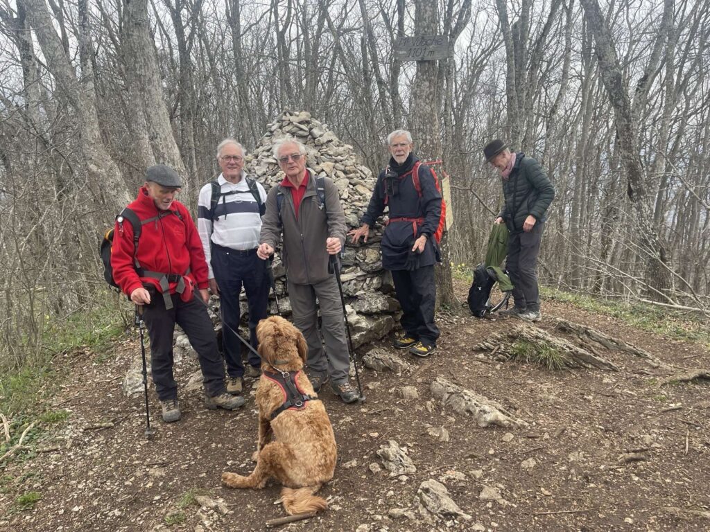
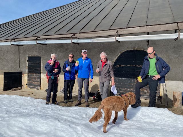
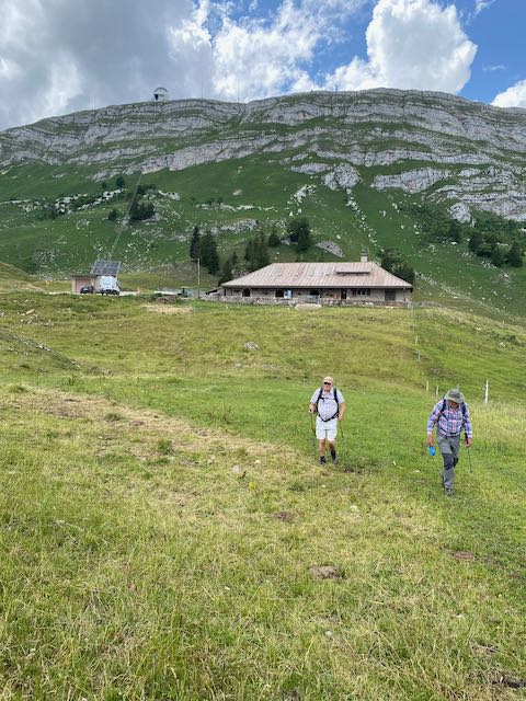
Peter went back to the summit pen to retrieve his stick, and we wended down past the Col de P and down and up across to the Barillette mast.
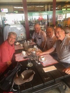
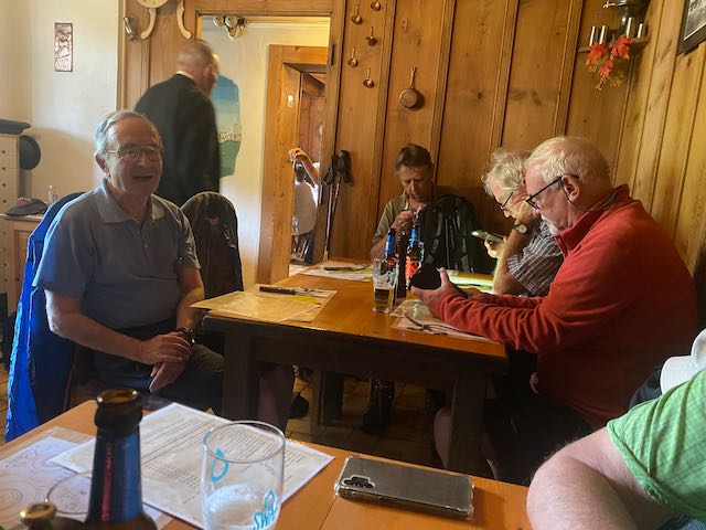
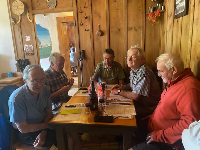
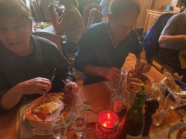
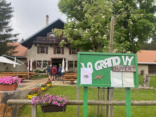
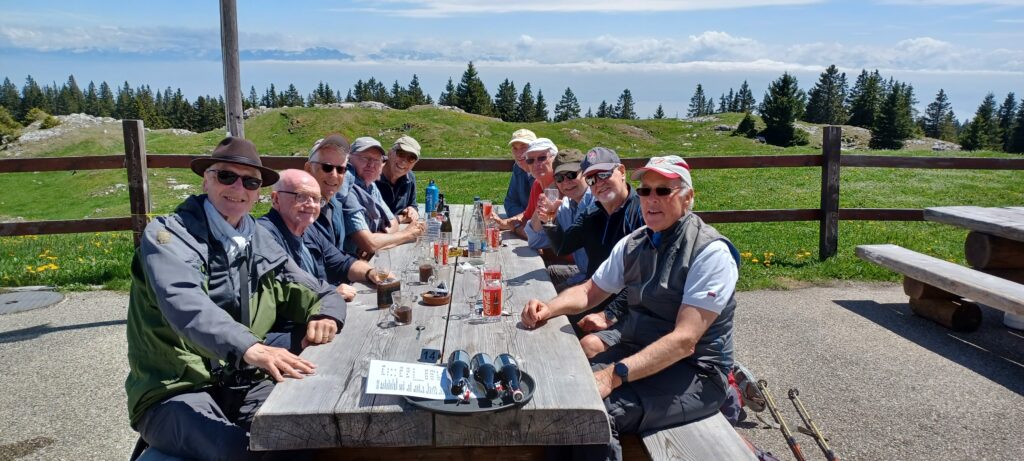
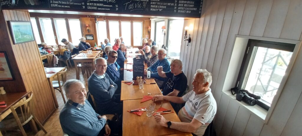
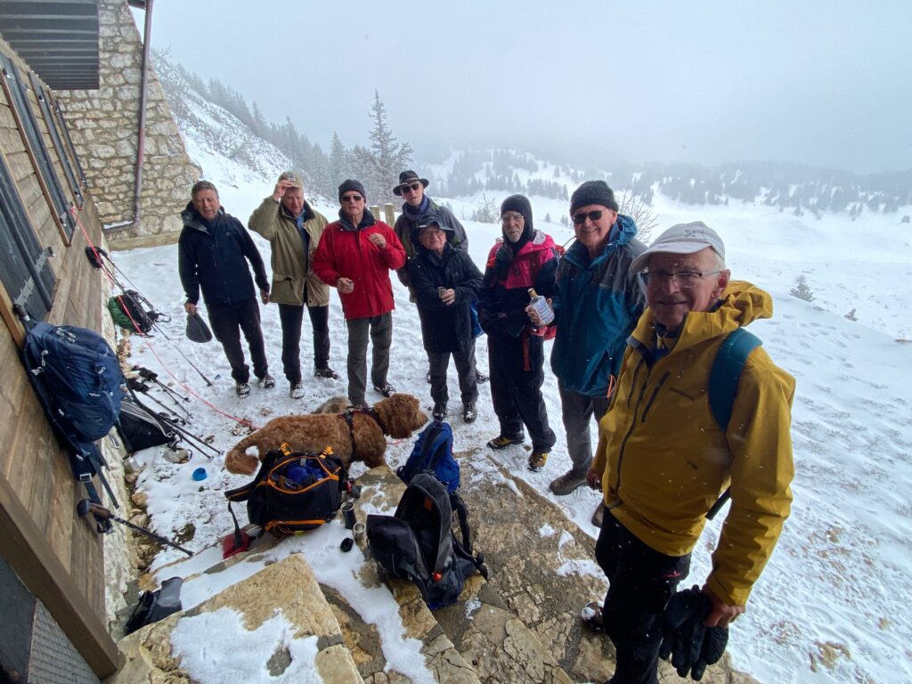
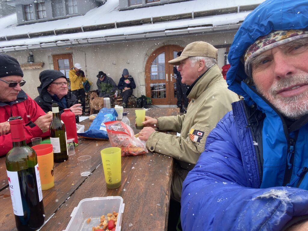
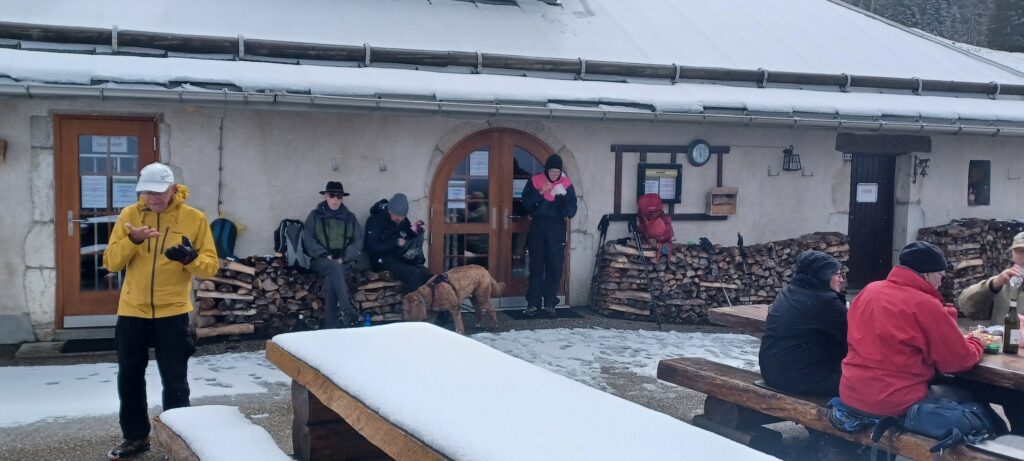
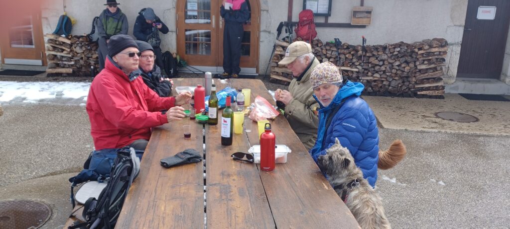
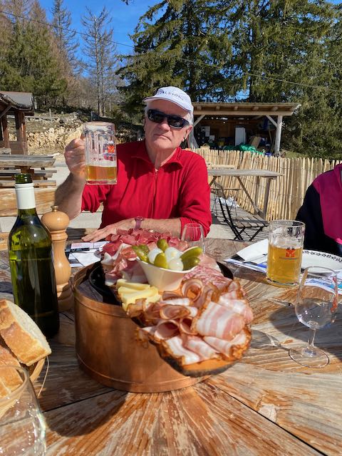
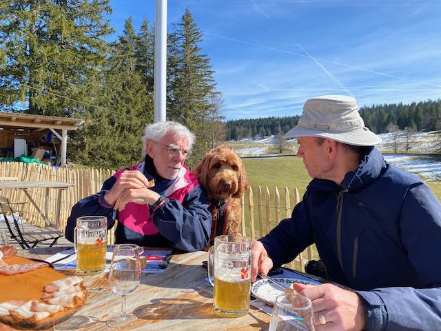
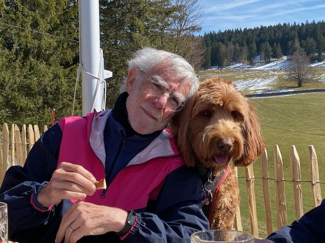
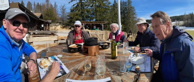
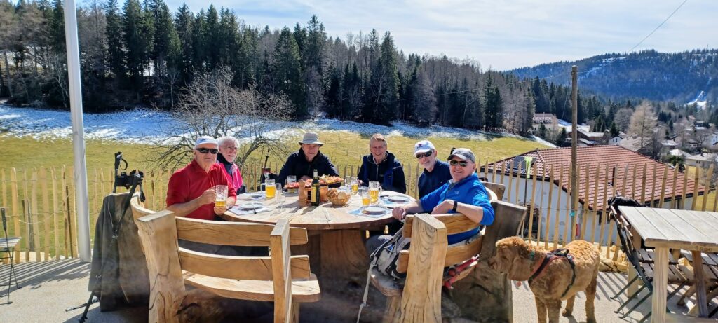
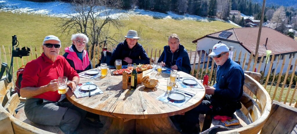
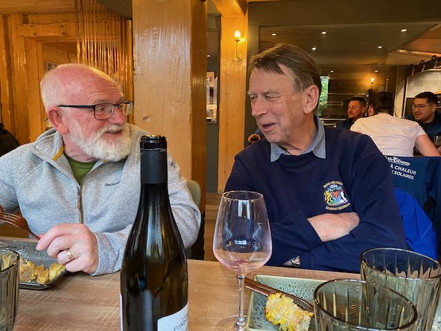
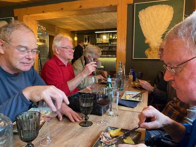
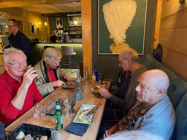
We arrived safely at the restaurant 45 minutes late but with no worries as Nathan had indeed arrived à l’heure. Happily there were few other diners and we chose a table out on the terrace for the dogs and us to be the happier.
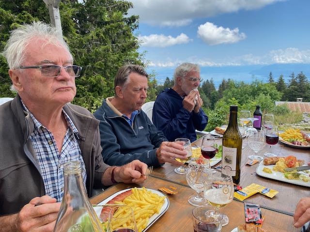
Initial beers were excellent and Larry chose the wine – to celebrate his 87th birthday the previous week.
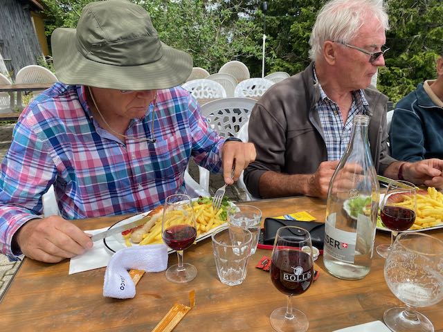
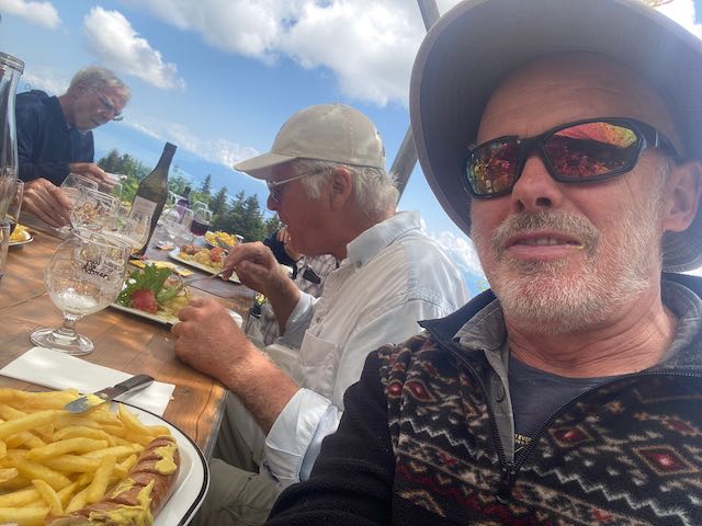
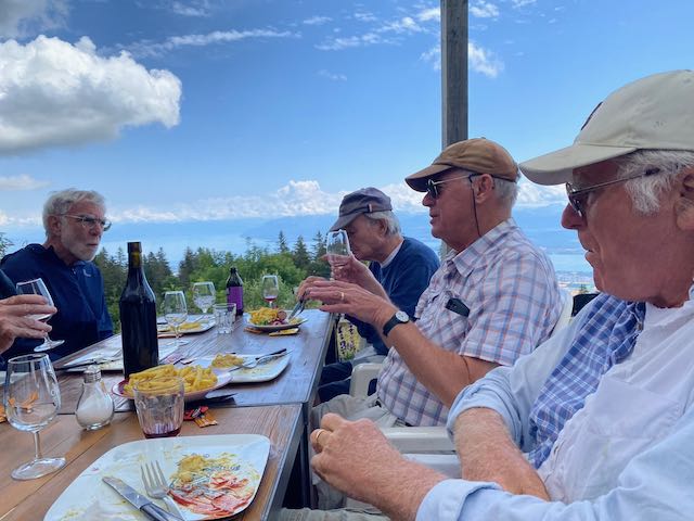
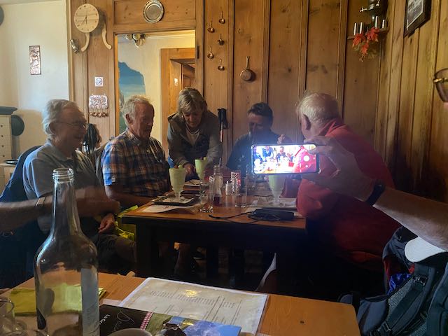
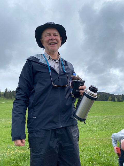
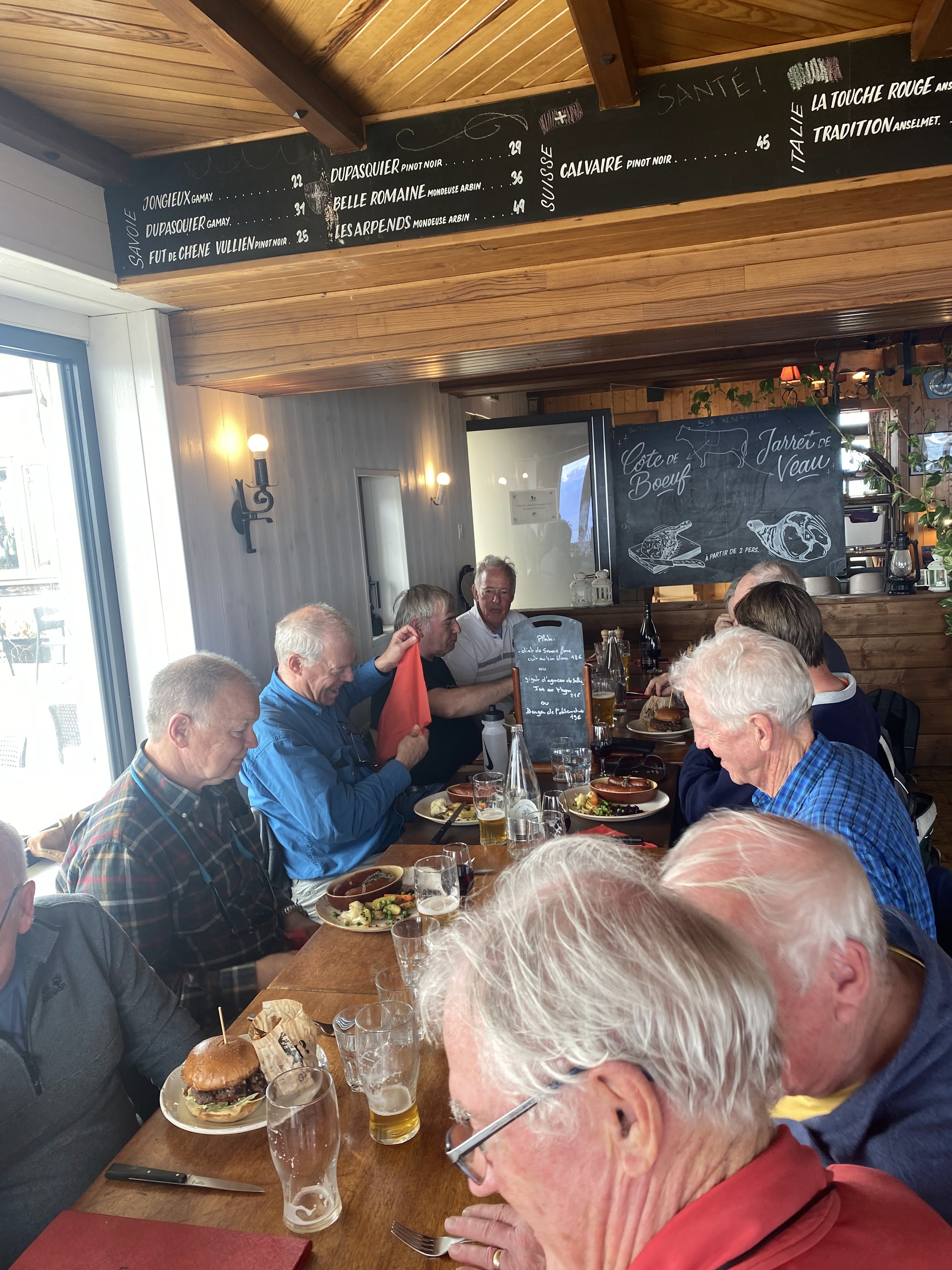
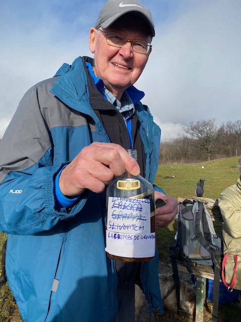
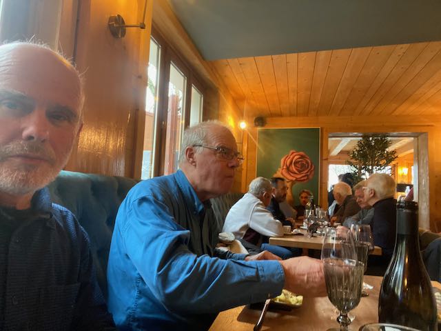
We chewed the fat while the dogs chewed the bones. The conversation glided over many subjects, including paedophile poets, and we were soon into coffees and not inflicted by a man with a bottle of strong and oddly-labelled potion, nor another with his flask of strong Scottish stuff.
All too soon then, with most of us and most dogs behaving well, we set off back up and down to the cars, passing a potential new GIN recruit as we left the restaurant.
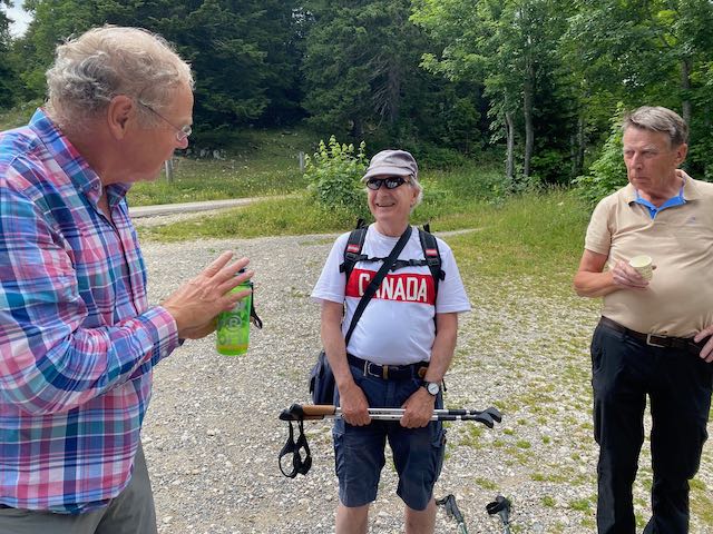
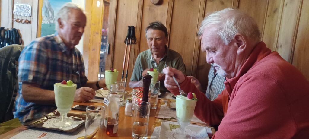
Thanks again to Mark 2ts for the coffee and Mervyn (or was it Mark too?) for the milk.
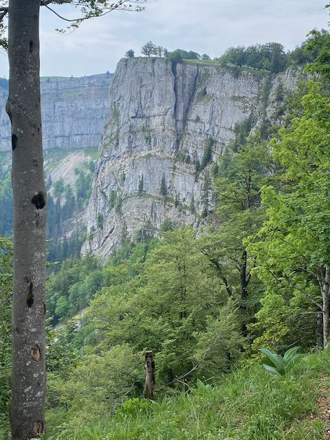
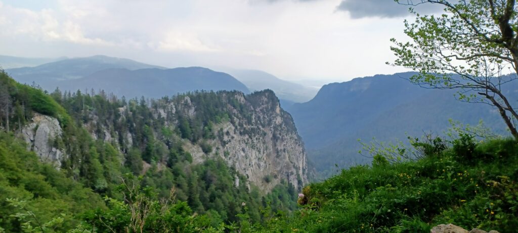
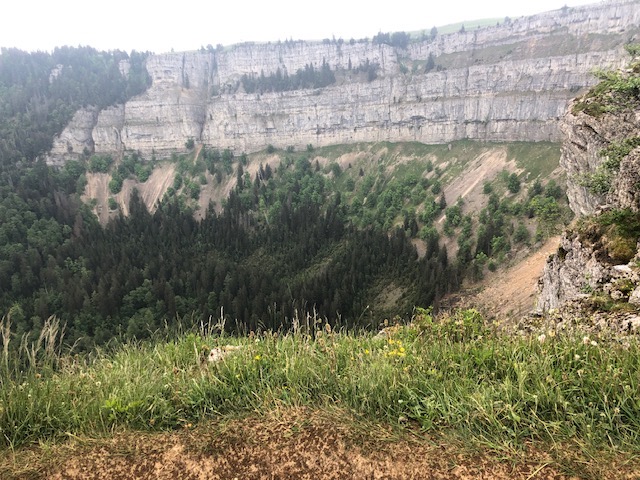
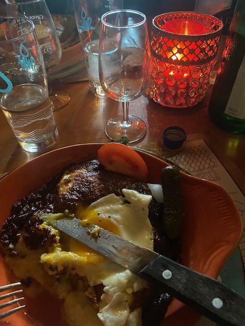
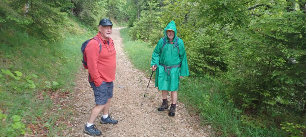
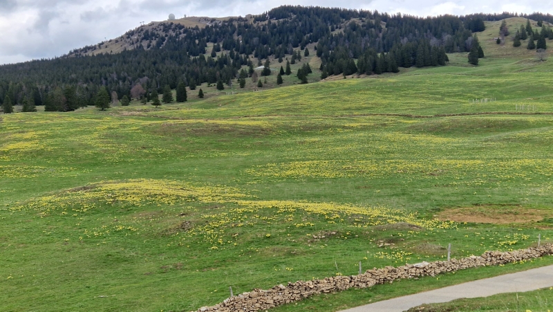
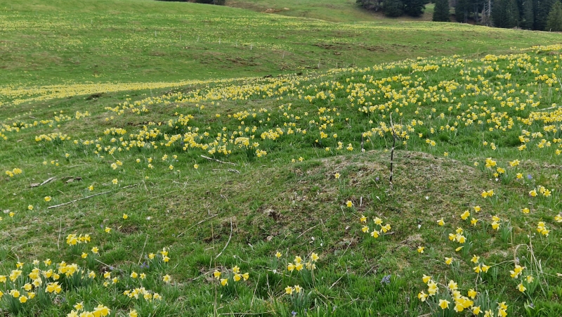
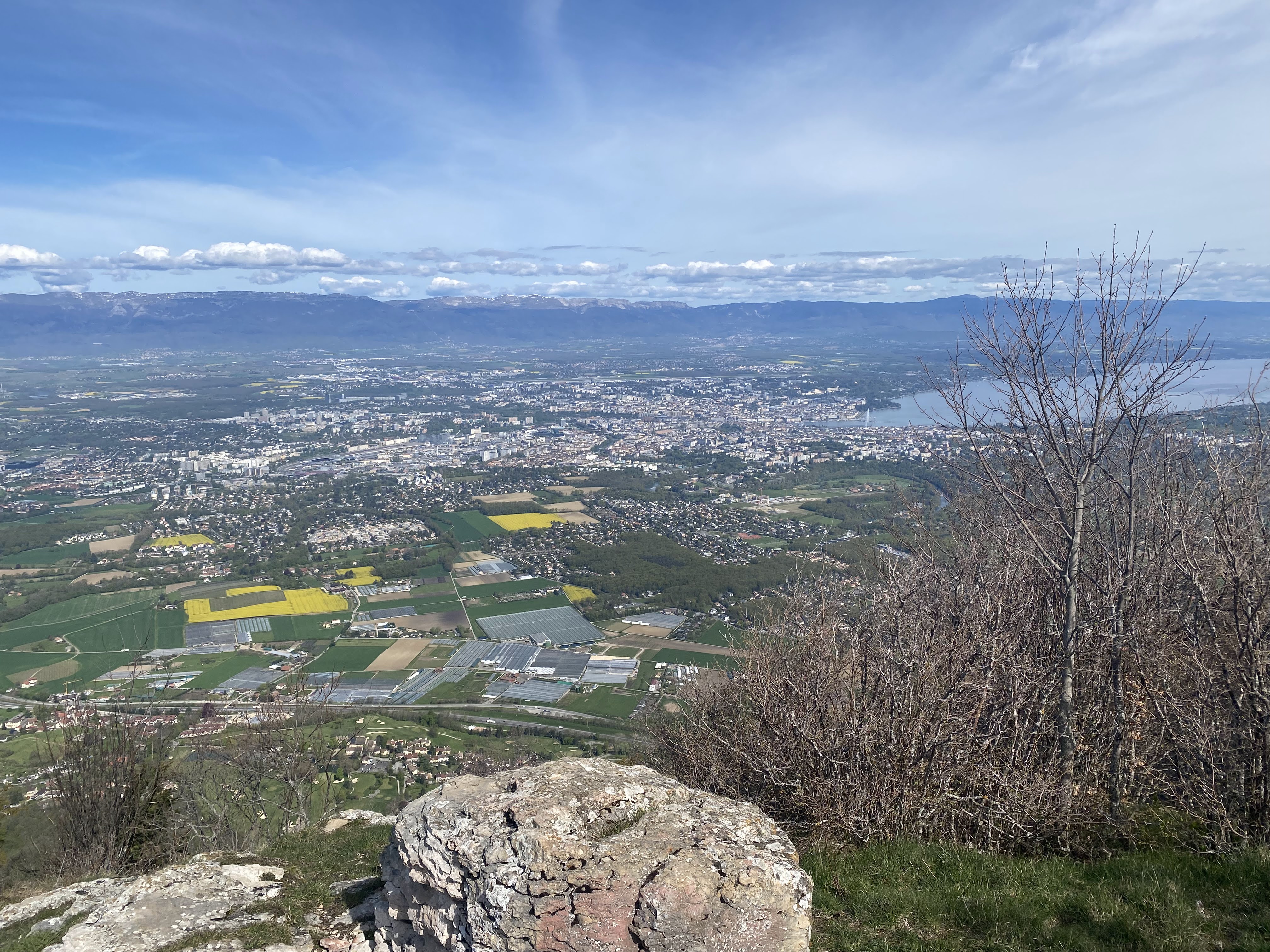
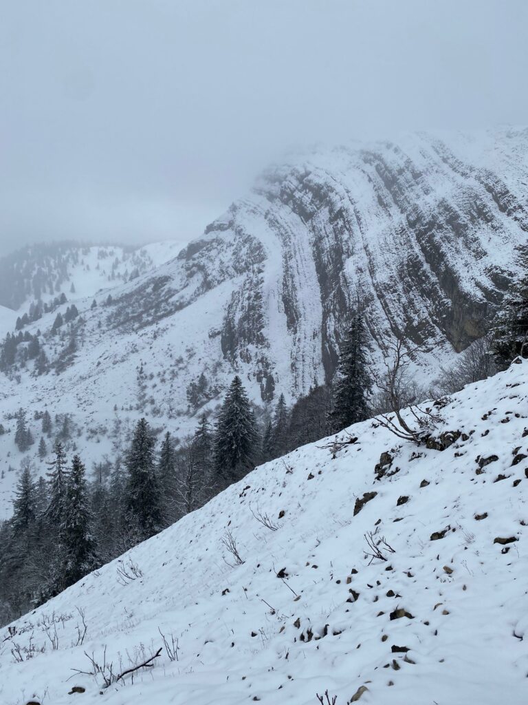
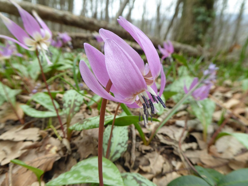
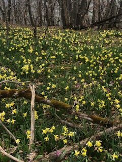
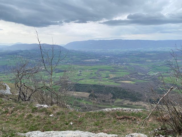
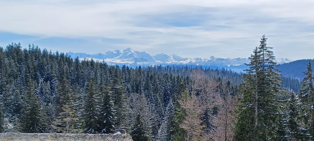
An enjoyable hike with dogs that mostly behaved, nice lunch in great company that also mostly behaved, fine weather and some nice wines, good sausage, excellent frites, and some fabulous views, chamois and hares, and, er, cows and electric fences.
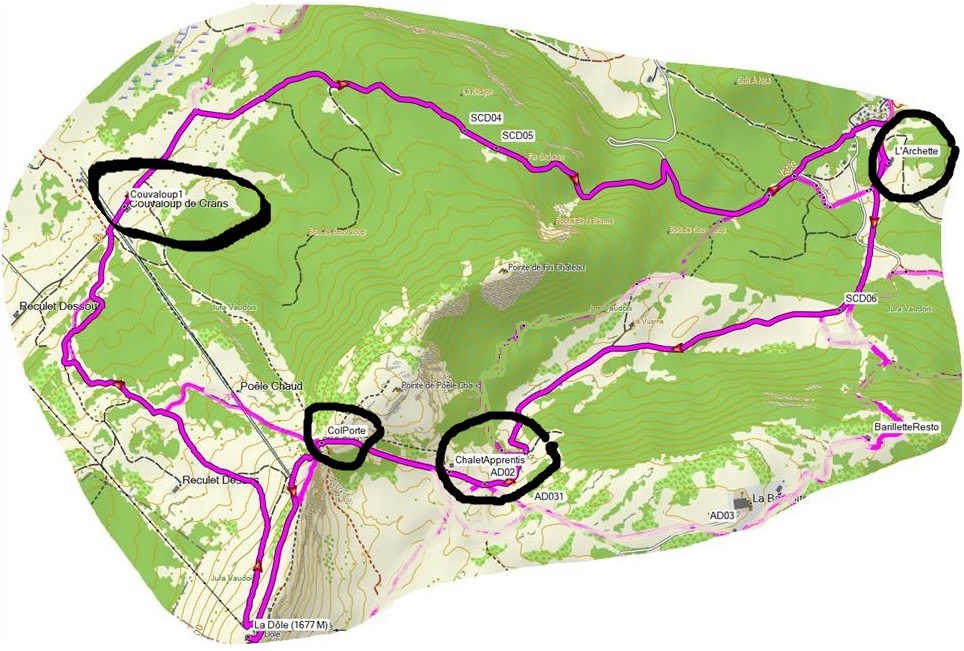
10.5km and 480m denivellation.
PS – When I got home Kobie slept in the basement immediately for 6 hours – he’s still there…
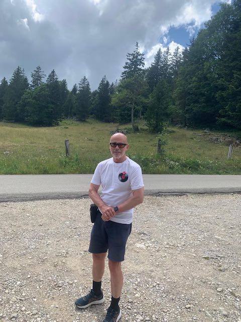
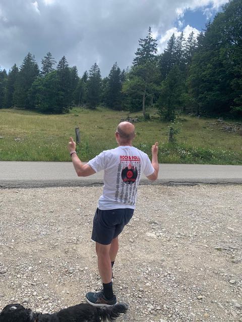
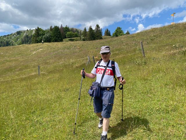
PPS Thanks to Nicolas for the Rock and Roll Hall of Fame T Shirt !