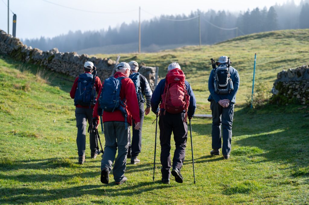
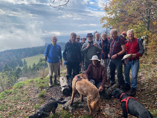
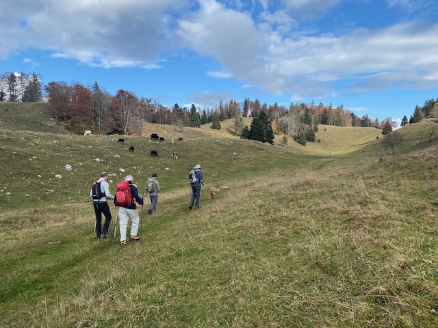
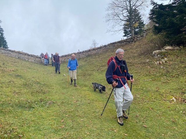
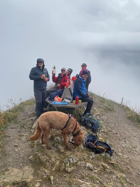
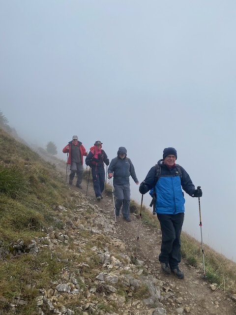
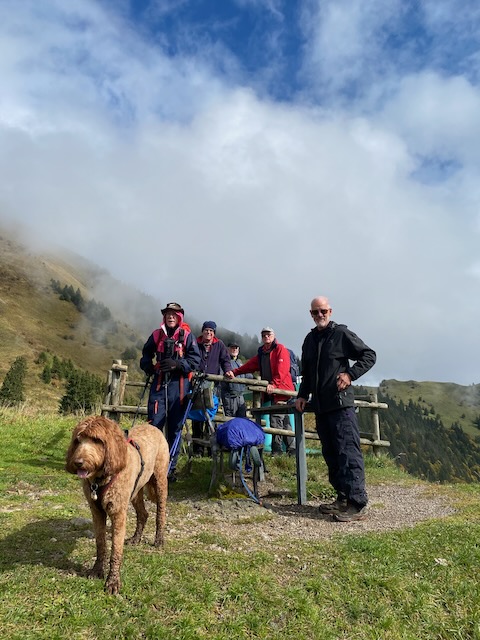
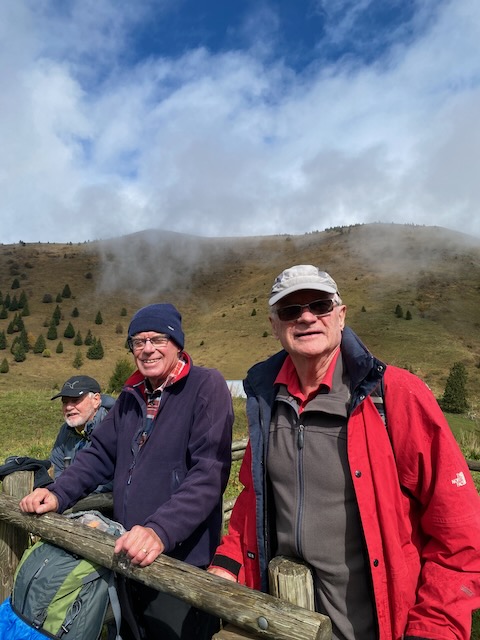
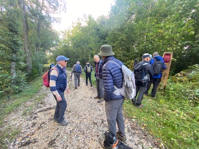
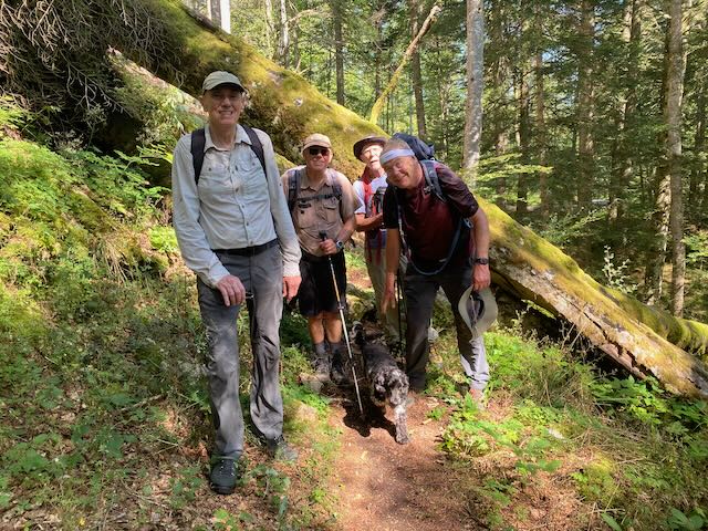
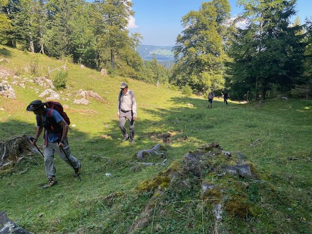
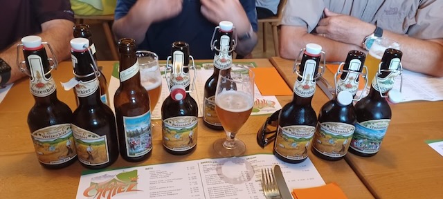
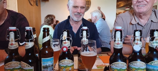
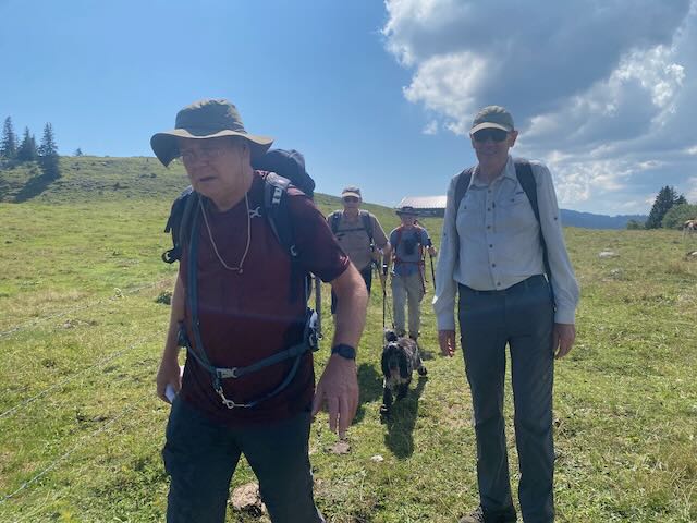
Eight hikers and one dog gathered in the mist at the St Cergue Tancouex parking to catch the 9:58 am train to La Cure: Mervyn, Richard S, Nicolas with Onyx, Nathan, Stephen L, Ivan, David C and Peter S (leader). Around Col de Givrine the little red train broke through ‘band de stratus’ into bright sunshine and the group disembarked at La Cure (1,153m) in a bouyant mood.
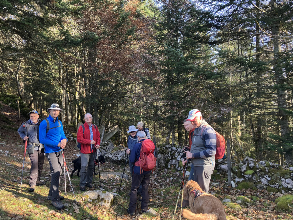
Setting off just past Mamac
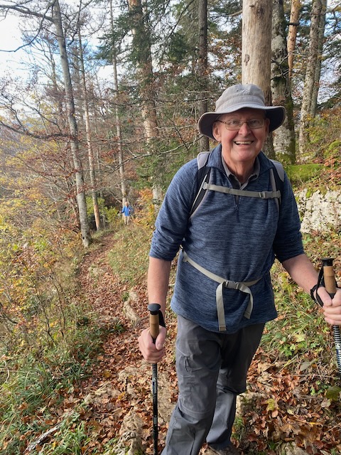
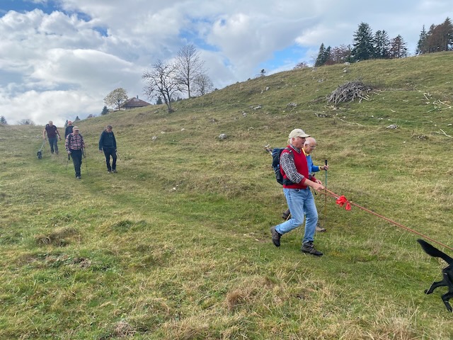
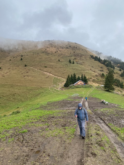
The trail passed Restaurant Chez Mamac up to Chalet Les Coppetes (1,321m) for a short break before continuing up the valley passed L’Arziere (1,445m) and a righthand turn towards Cabane du Carroz (1,508m). On approaching the cabane, Kobie came bounding down the path with a smiling Peter T not far behind to complete the surprise!
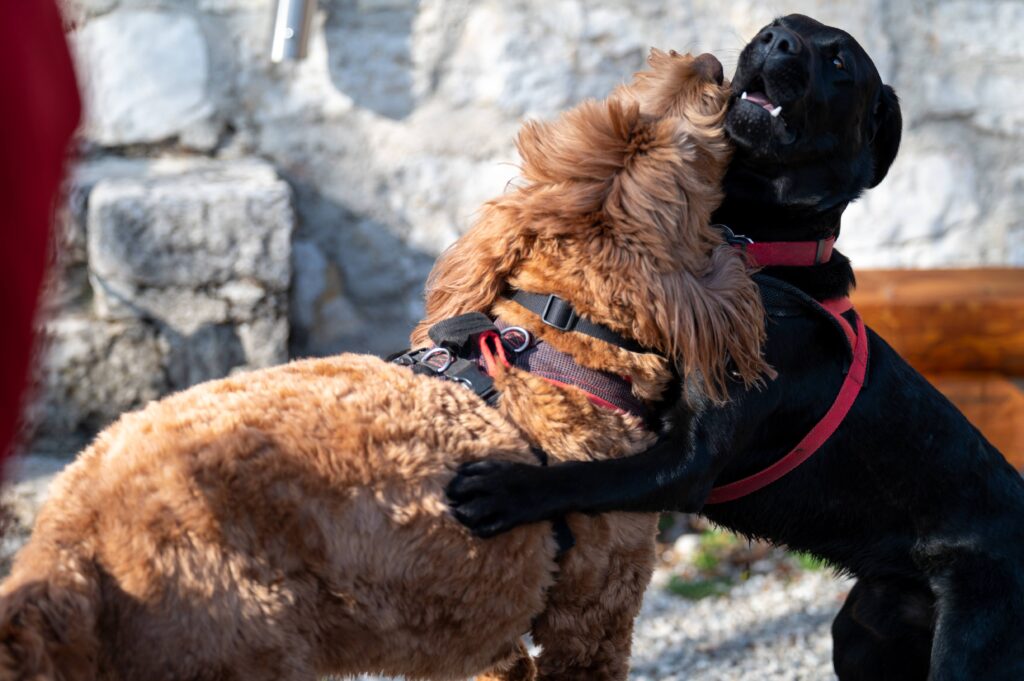
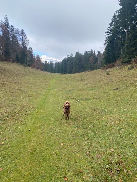
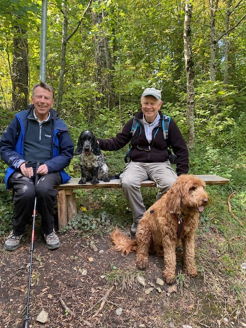
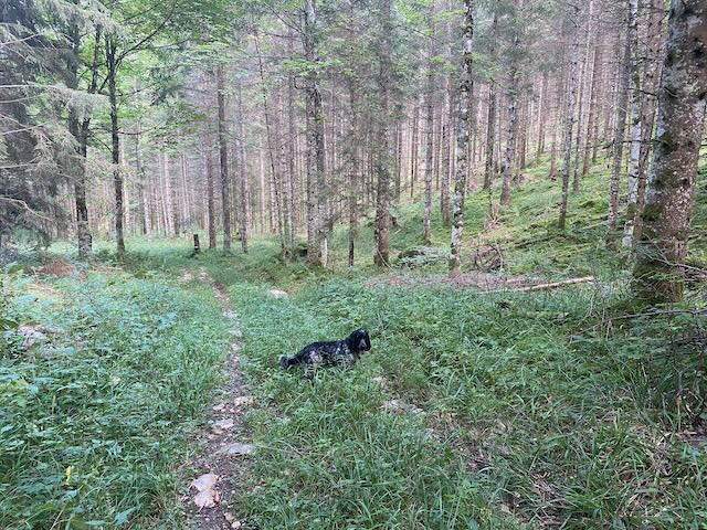
Kobie and Onyx recalibrating
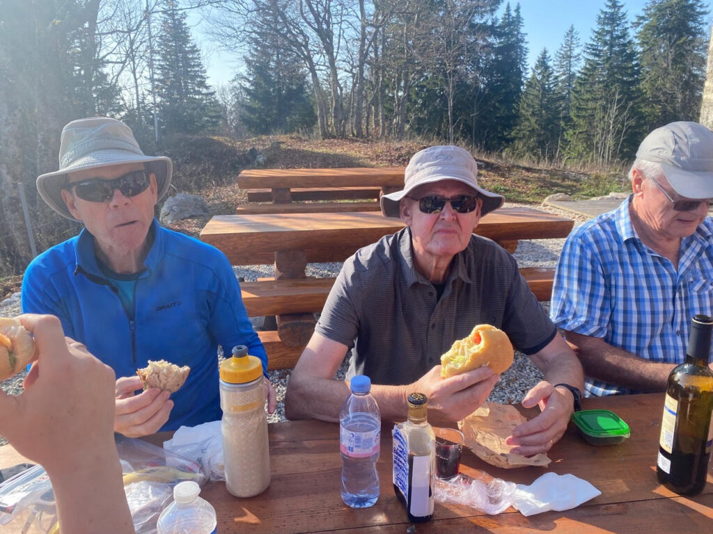
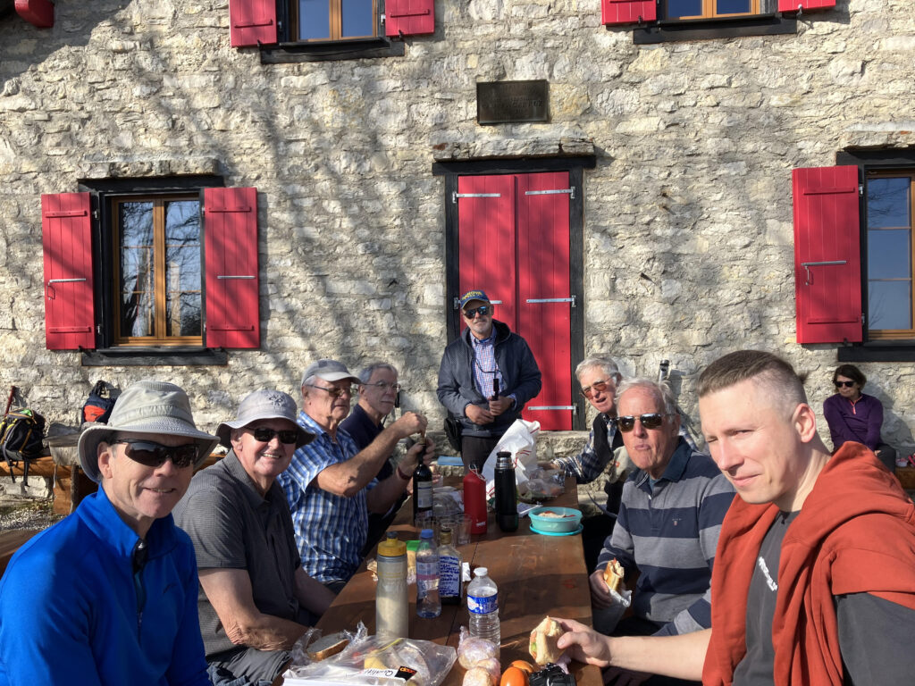
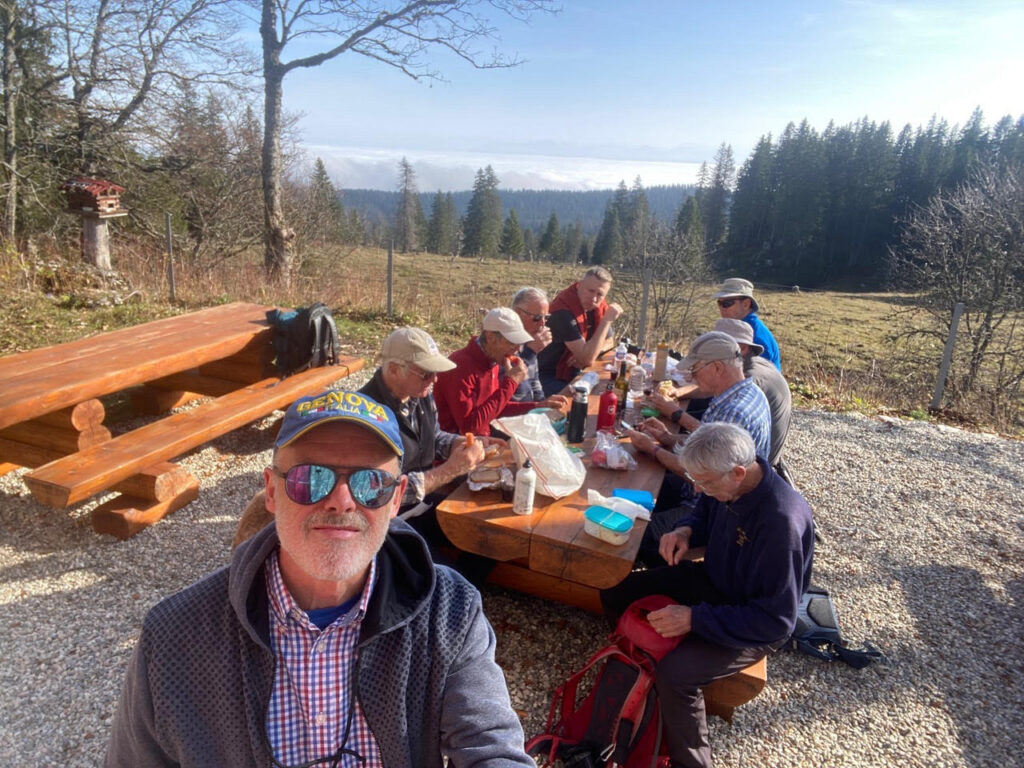
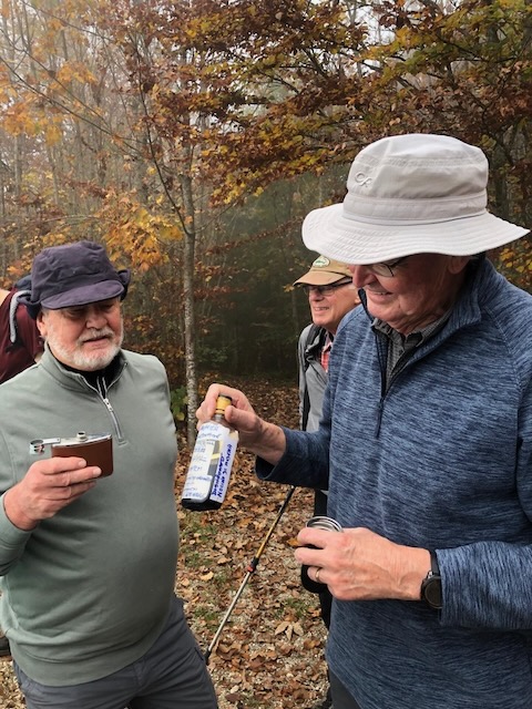
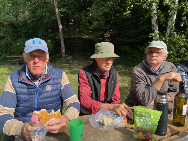
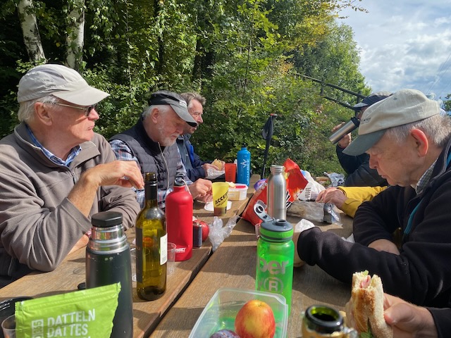
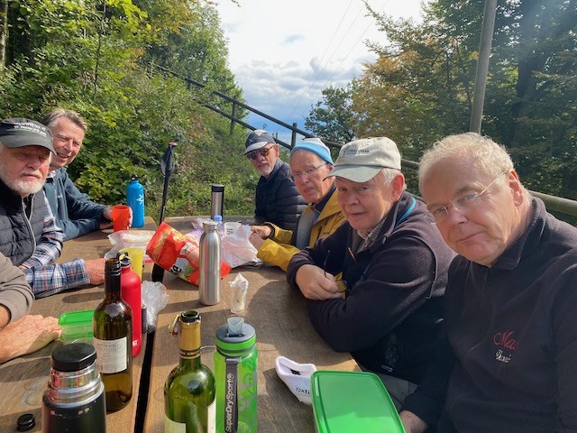
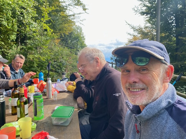
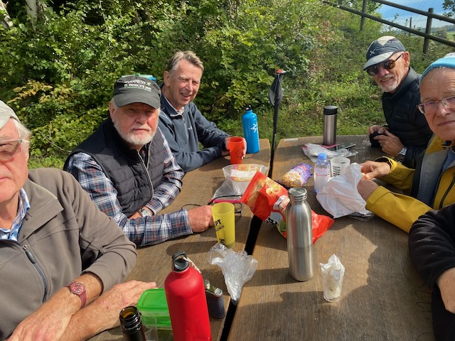
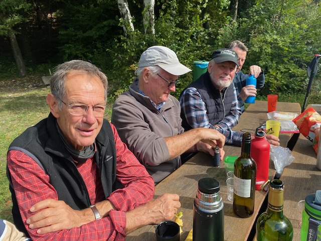
Happiness filled the air as the group broke out sandwiches and snacks with wines from Spain and South Africa topped off with additional spirits from Richard’s bottle and Mervyn’s hip flask.
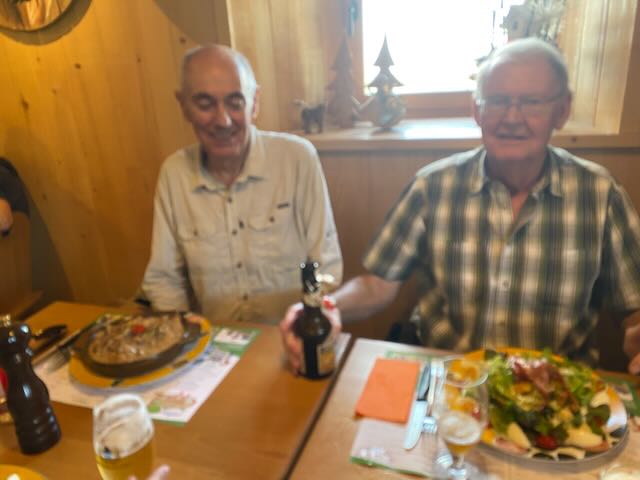
Lunch in the sun, Stephen, Richard, MervynCarroz Lunch
There was some discussion about the return of President Trump – not predicted by a majority at our monsoon lunch two weeks earlier.
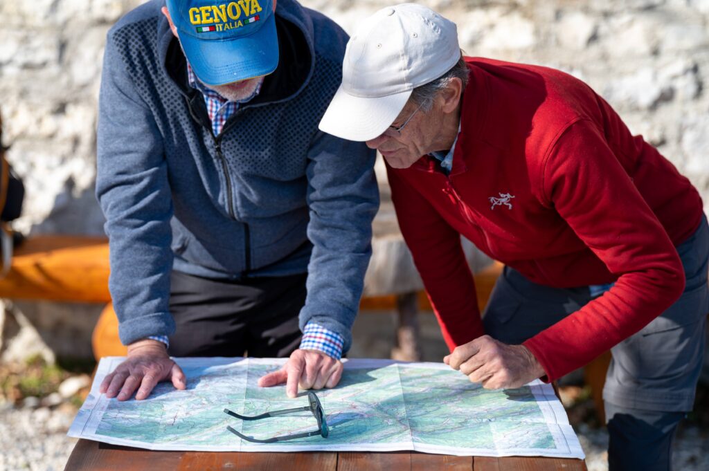
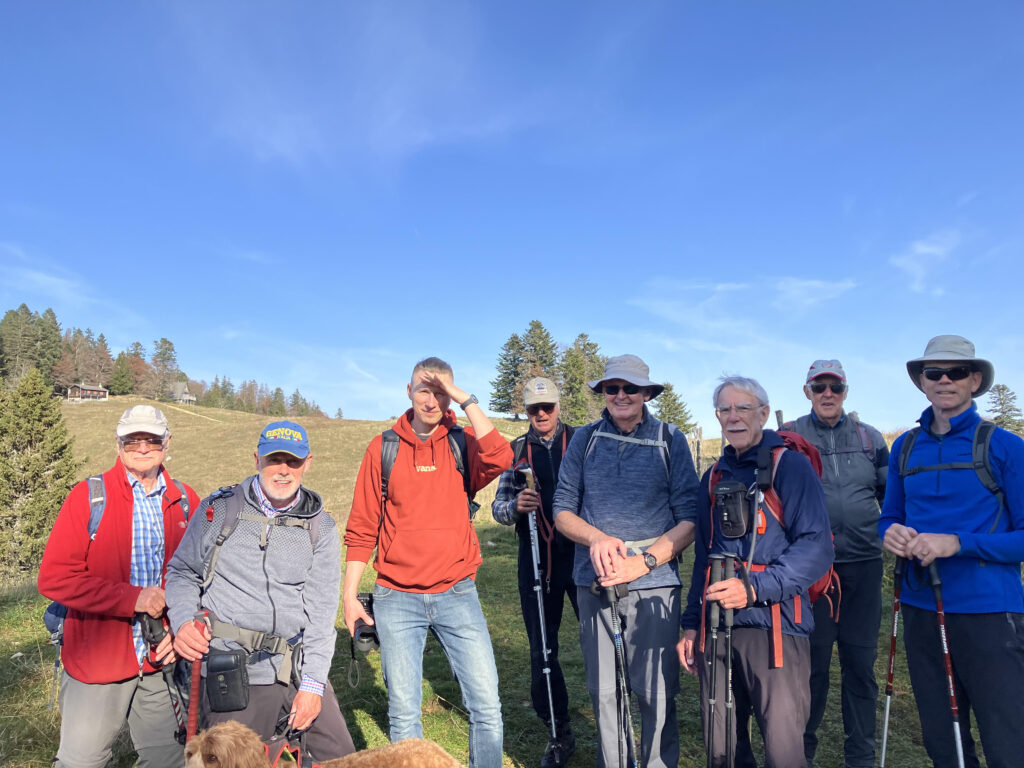
All nine of usPeter and Peter check the route
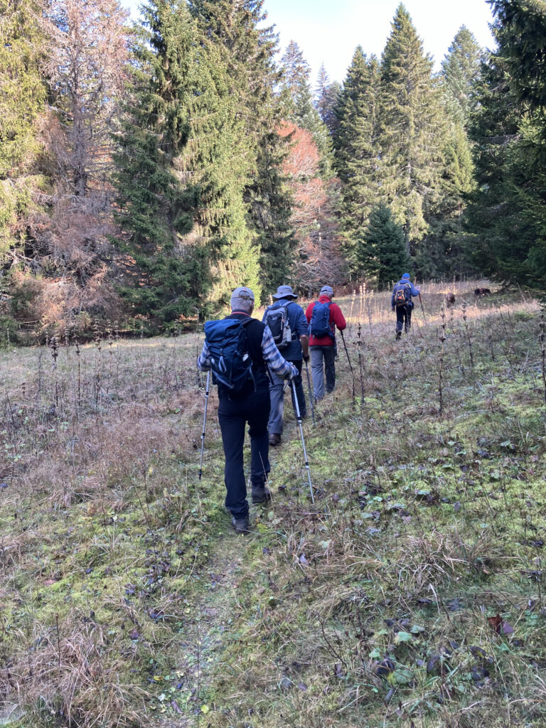
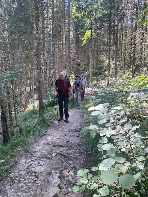
Reassured that we now had a leader who knew where he was going, we began the descent through the woods to reach the road from La Givrine to Vermeilley. After a short stretch on the road, Peter T turned right onto his secret path that tracked through scattered forest, stone walls and leafy glades to reach a style just short of Cabane Rochefort.
On up the secret pathAt the high point before the Cabane Rochefort
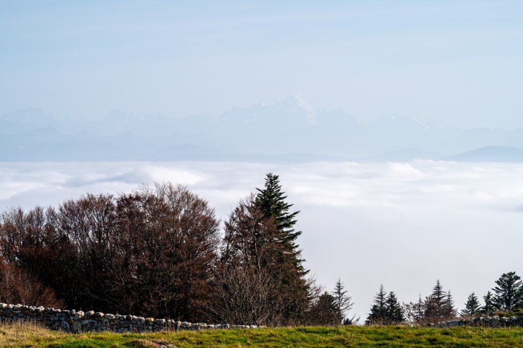
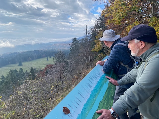
Emerging from the forest passed the A-frame house we were greeted with a broad view of the Leman basin covered in mist with the Alps faintly visible in the distance.
Mt Blanc above the sea of cloud
At the junction to Chalet Derrière, we parted ways with Peter T and Kobie as they turned right towards La Givrine and we continued on to Chalet Devant/Fruitières des Nyon (1,333m).
Farewell PeterT and Kobie
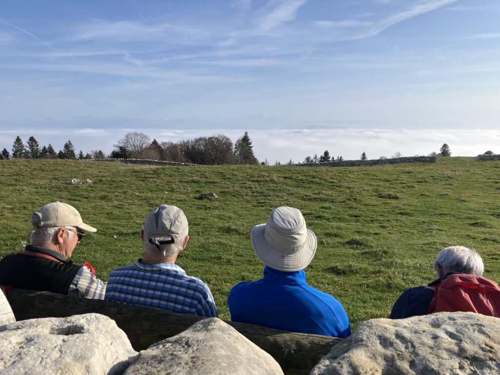
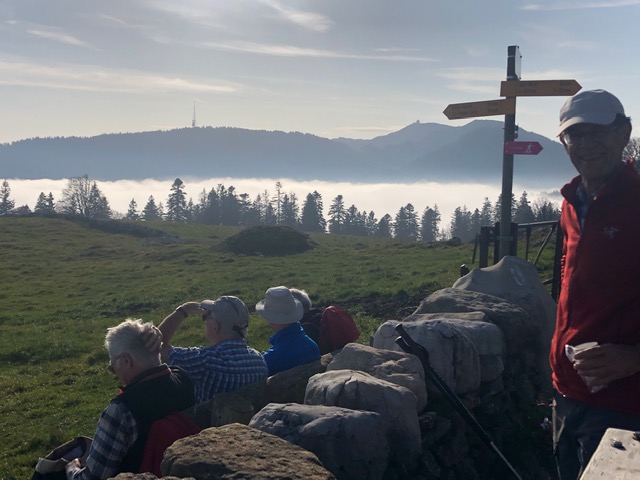
After hearing we had come from La Cure, an elderly French couple offered up the bench in front of the wall which was a clear sign that we needed another break. The impressive views were complemented with coffee (absent milk or sugar) and chocolate McVitie’s.
At the wall bench, Fruitières de NyonView to Barillette and La Dôle
After a short stretch on the path down towards La Borsatte, we were back in the mist which persisted all the way back to the Parking lot at Tancouex to complete a hike of 15 km with denivelation of 493 m. Peter T with Kobie clocked 12 km and 425 m denivelation on their tour from La Givrine to Cabane du Carroz and back.
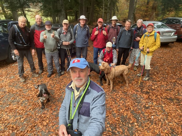
Twelve signed up for this hike, with 4 apologists. Attending in no specific order:-
Mark2rs, Mark2ts, PeterS, RichardS, Nathan, Rudi, Stephen, Ralph, Philip, MikeH, Nicholas, me (PeterT), with dogs, Onyx, Rocco and Kobie. A fine turn out for what I had promised as a moderate hike (not much over 400m ascent) in the hills above Bassins.
In the event it was 12.25km and 444m denivellation (my watch said 416m).
We met at what3words ///revolting.though.aquatics at 971m and I wondered if this would put a curse upon us; would it rain (again) on our parade?
We all met up on time at the revolting car park above Bassins. It was good to see Stephen back with us, as well as Rudi and RichardS (albeit he had just led the Lac de Joux hike).
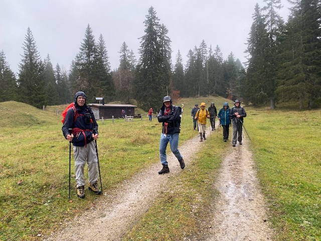
Team photo at the start
We headed off on time and set course across an open and level field, the wire fencing having been removed after cows had been descended. Clearly Onyx was going to run and run, while the other two hounds were slightly more sedate.
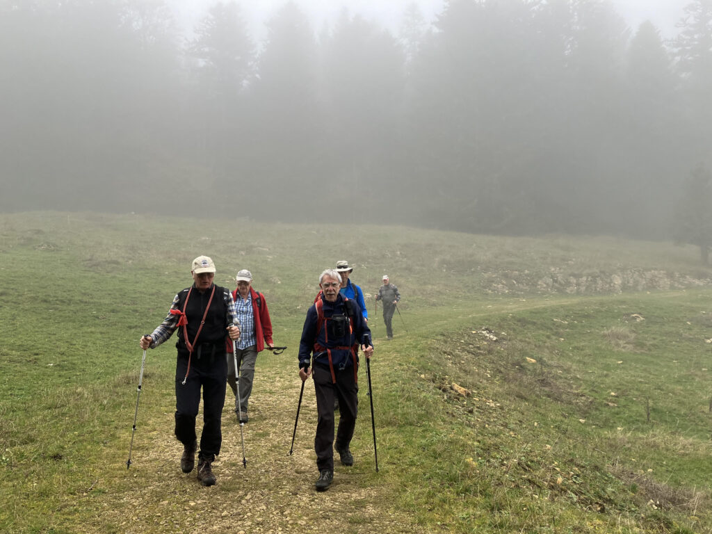
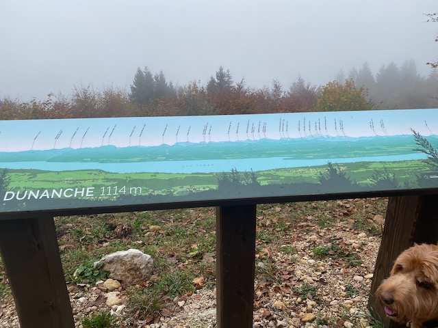
We ascended the grassy track and then the leaf strewn trail up to La Dunanche overlook, by the Toblerone line. The view from here is normally magical. Today we were in the cloud.
The “view” at DunancheThe bottle of many exotic fluids returns
We continued on up and towards the outlook at Le Planet. Amazingly the skies cleared and we came out above the cloud, albeit not exactly into the sun. The wooded path takes a steady rise at the edge of the scarp up to the outlook.
Richard going stronglyAt the overlook at Le PlanetA better view here. But this is not the lunch stop
Several questions were raised about whether this was the lunch stop. But it was still before noon so we had to continue onwards and upwards.
Up into the open and some sunshine, and cowsNo sign of rain…Some easy rambling
We soon reached the open fields above Le Planet and passed some cows and a stile following which we headed towards a forest road.
Kobie waiting for us – before the cloud came back
Mike was supportive – “yes it’s a good idea to keep going a little so that we can lunch when the sun comes out fully”.
It was not long before we were enveloped in cloud again and after a short section on a road we headed gayly off left into the forest. This was an error of map reading by the leader (who actually had a paper map – but it was fairly large scale). This trail gradually petered out as PeterS and I went ahead into the uncertain undergrowth. Happily PeterS had a phone map with satellite GPS locationing and we managed to navigate out of the thick forest onto a logging trail. Unhappily this trail was covered in a thick layer of broken and unrolled rock. A kilometre of this awful surface followed.
On the rough trail – like the Road of Bones (good track by rock band I.Q.)
Happily we exited onto a smooth straight trail heading towards where I knew there would be a bench/table/bench by a hut for us to have lunch. It was at this point that it began to spot with rain. It was 1.15pm or so.
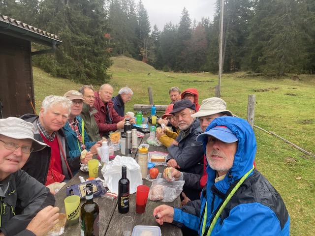
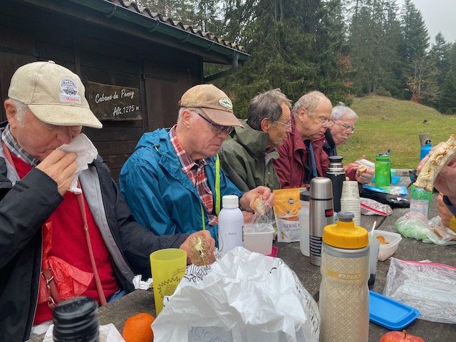
Starting lunch in some drizzleStill only drizzle
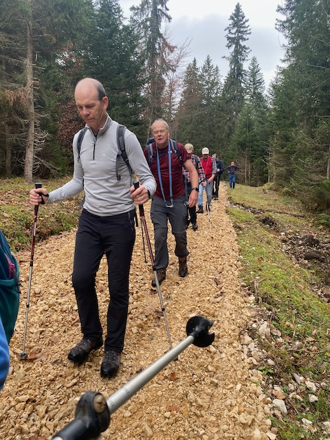
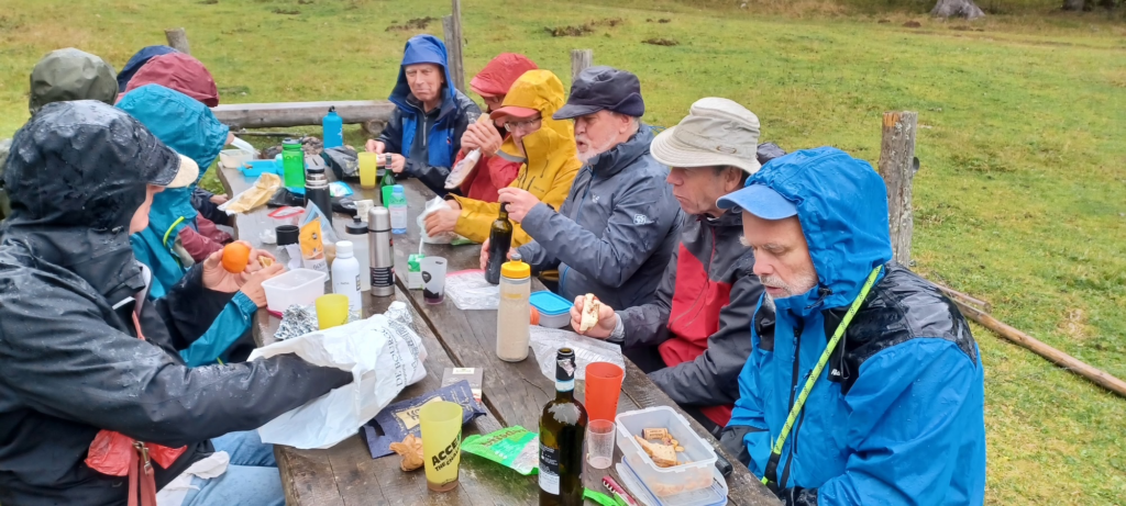
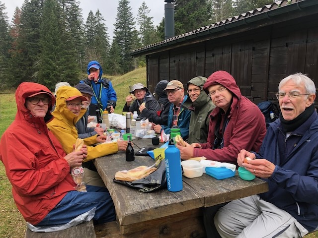
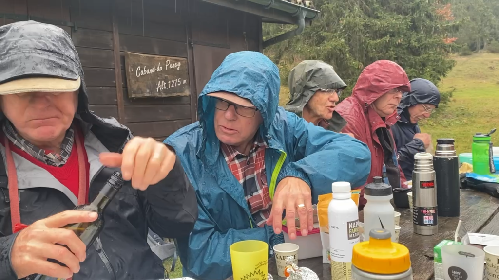
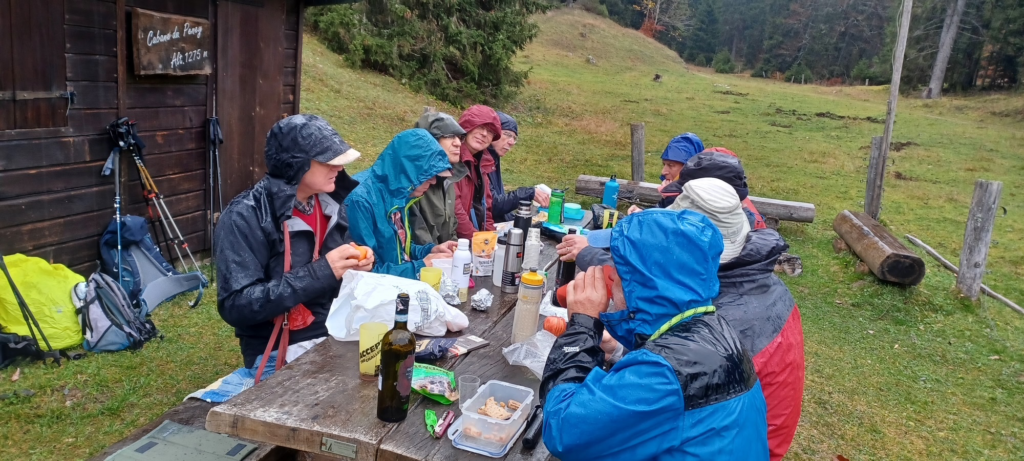
We were at the Cabane de Peney at 1275m. 6 aside on the big table. Some Valpolicella and Swiss wines were offered. Two of our team were on the wagon! Others were abstaining as per their religion (etc). But it became clear that this was to be no dry lunch, as the rain became steadier.
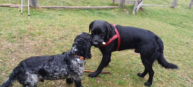
Rocco robs Onyx of a chewSome excellent stiff upper lip exhibitedView from the N end (M2rs)
We were so enjoying the lunch and associated banter that we forgot to cover the subject of Scottish independence, but we did have a poll on who was going to win the US election: Harris came out on top beating Trump 6 to 4 with 2 abstensions.
The rain begins to descend – Mark offers coffee
Gradually the rain grew heavier and our drinks were becoming diluted. Certainly I can recall no previous lunch where we had sat out in such conditions. Happily it was not so cold. But not too warm either.
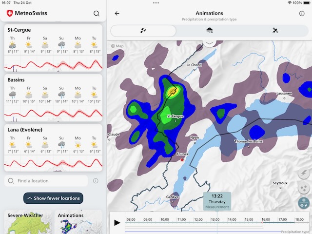
Ths was the rain that hit us, heading in a NE direction. Unlucky lunch timing…
It was time to move on and escape back down to the cars.
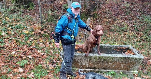
Leaving the Cab de PeneyKobie – already soaked – takes a dip
The escape route was easy enough – via the campsite (Mervyn knows), and down the road back to the cars. Fortunately the rain begain to ease and the journey back down was not unpleasant.
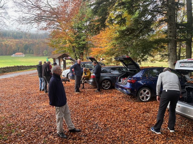
Back at the cars, almost sunnyThe Fall
A memorable hike, perhaps for a wrong reason, but good fun despite revolting aquatics – it’s just so good to be out in the fresh air enjoying nature with chums and hounds.
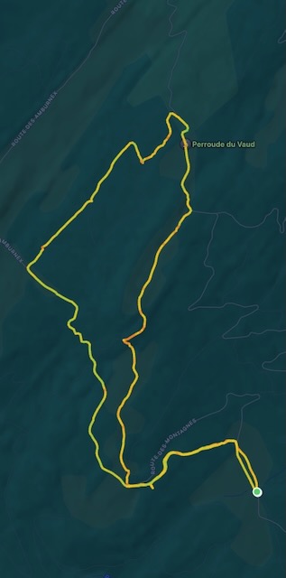
Our trail, anti-clockwise lunch just above the left elbow
With apocalyptic weather events currently affecting much of the planet it might seem churlish to be concerned about our local météo. But there were some apprehensions expressed about the conditions we could expect on our planned ascent of the mighty Môle. However, with Ralph’s confident prediction of a temperature of 23°(where?), Mark 2Ts, Mervyn, Nathan & Ralph confidently set off from Divonne at 9am in Mark’s new e-car to rendezvous with Ross and Peter T, plus faithful four-legged friend, at the start of the hike.
After a few minor detours, but at the last minute wisely excluding the option of going via Bourg en Bresse and Lyon, we duly arrived to be met by a slimmed-down, shaven Kobie bounding down the track to lick us all. The two-hour ascent from the parking at Chez Béroud 1160m via Plan Meulet to the summit at 1863m was completed in under the signposted 2 hours.
Hard to remember the early sun
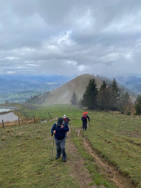
It began in sunshine while we traversed the forest but by the time we emerged above the tree line the clouds were gathering and the mountain tops were frustratingly obscured.
Ralph looked happy, before we got to the steep bit
The path became steep and the heavy recent rain had made it muddy and slippery. It was reassuring to know that there was an alternative route down.
What – up there ?Just before the trail really got steep
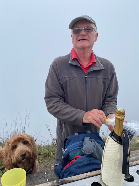
At the top, wearing our warm outer-layers and gloves (it couldn’t have been much above freezing) we duly celebrated with champagne, chilled gamaret and warming Knockando.
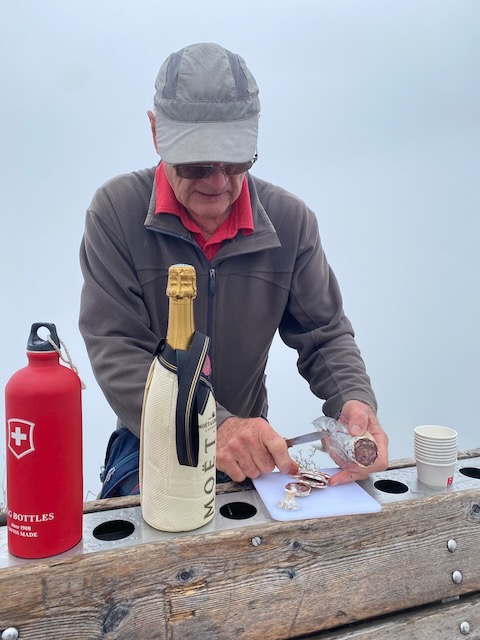
Getting ready for the celebration – Mervyn’s n’th birthday!!! (where n=x+3)Cutting the hostage, er, sausage..
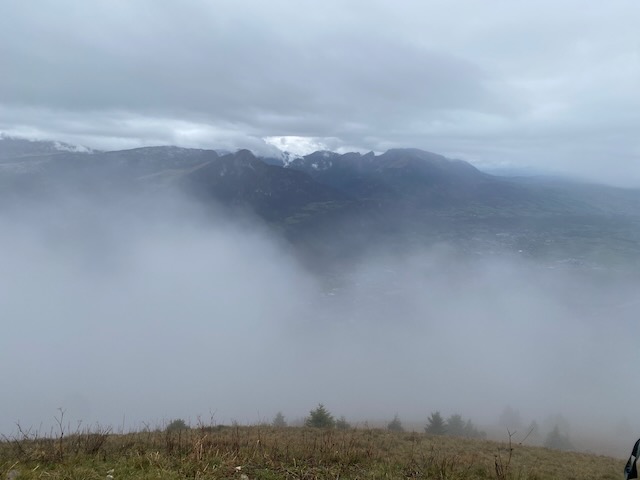
Absent friends amongst you readers were toasted. The promised full 360° panorama was not to reveal itself on this occasion, much to the chagrin of the two Môle virgins amongst us, but we did get fleeting glimpses of the some of the peaks and the lake. Another time?
A view from the topSummit party
The threatening shower accelerated our picnic and we quickly descended to Le Petit Môle, where it was sunny, tantalizingly revealing the peak we had just left. No-one was keen to reclimb 330m!
Time to go downFrom Le Petit Môle – looking back upSun shining on the righteousANother Mervyn Birthday Bash. Note – sun on the summit …
The easy route back down became a stony track and we were reacquainted with the cars within an hour, all the while enjoying good views of the Arve valley well below.
I for one enjoyed the day immensely.
(PeterT Notes:- A great day out, pity the weather was not great, but it could have been worse. A really tough last few hundred metres, my heart rate went higher and for longer than any on other hike in the last 4 years…)
The previous Thursday had been a washout. So I suggested a Tonic (interim) hike to fill in before the next full hike.
As such this was to be a moderate (Tonic) hike, in part requested as such, and also because I had a bad back (after a Kobie-related incident) I wanted one too.
So a short hike in the forest above Gilly was planned, taking in the Combe de Bursins and the Sentier de Chatagnerie.
Ten turned out: Mike H, Mervyn, David, Ross, Richard W, Philip, Ralph, Mark2rs, PeterS and me, with two dogs Kobie and Rocco. The Bise was starting so we had bright clear weather and were generally sheltered by the forest.
From the initial parking, at 10 am, a 100m ascent led to the Molard Motorway, a forest track recently brought into top condition by some organisation with too much money. After about 30 minutes we reached a road coming down, and it was then I realised that very likely we were going to reach the lunch spot too early. Nothing for it but to make the hike a bit less moderate than planned, and up the road we went. It was not long before we reached the top where a fine view gave excuse for a photo opportunity.
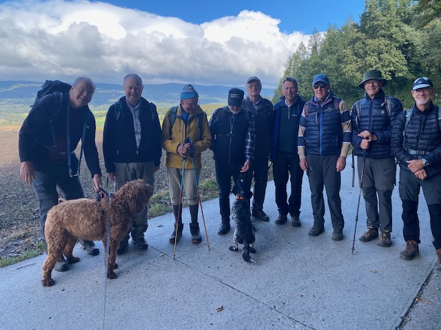
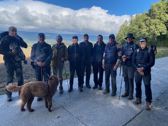
Nine and two dogs taken by meNine and two dogs taken by Richard, Ralph and Ross highlighted
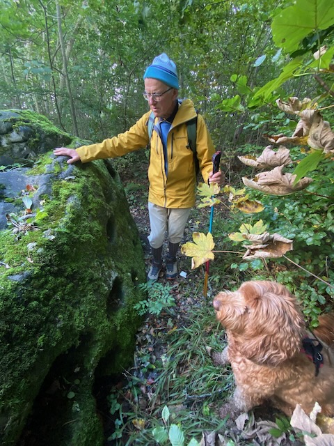
From this vantage point there is a great view up to the Jura, with Arzier in full view. Leading back along a forest track we passed the erratic boulders deposited by the Rhône Glacier 10,000 years ago. In particular the Pierre à mille trous.
Philip and Kobie inspect the holey boulderThe track by the erratic, with some erratic hikers
The wind was blowing a bit as we descended a ridge on the track, and soon we had a fine view over the Lake, with some believing the the Jet d’Eau was running, but I could not make it out.
A lady walking a horse overtook us (sic) before we descended a short way down to a forest track that took us to the Chataignerie Trail. It was a short pair of up and downs to the lunch area reached at an acceptable 12.15 or so.
Mark and Richard – dog lovers both
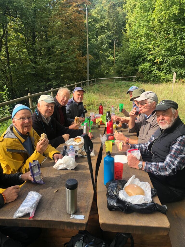
Ten of us fitted around a picnic table with built in benches. Any more of us and we would have had to spread to another table. The sun shone, we were out of the wind, the craic was good, and my sandwich was too. Reds from Sicily and France helped conversation flow (too many subjects to relate). We drank to absent friends, I listed out all the apologies I had received, mostly substantive, especially as this was only a Tonic. Dogs were reasonably behaved, well, just.
David PeterS MervynMervyn Ralph Mark RichardRalph Mark Ross Philip Richard MikeUsing my selfie stick – clearly the wine was helping my backAnother stick shotA Mark2rs shot
Note – no dogs appear in the lunch photos !
Mervyn brought out his flask of Scottish fluid, but sadly M2ts was away in Blighty and there was no coffee. However people seemed happy and after it was all over we headed off down, then back up, to the cars, only about 20 minutes or so from the lunch stop. David suffered a slight knee problem on a descent – let’s hope he gets fully fit again soon. Otherwise we came through unscathed.
8km and 370m accomplished (as opposed to the 5.65km and 250m originally planned). Next hike next week, less moderate, perhaps.
The good weather in August continues so it was time to head up the Jura again from L’Isle (previously 16 Sept 2021), this time without cold rain and hypothermia.
Attending Messrs Hempstead and Rocco, Mark2ts, Finkelstein, Neivens and for lunch only, Mr R Saynor. No Kobie, as I had booked a table in the Buvette de Châtel for lunch.
This next bit was copy pasted from the 2021 Blog.
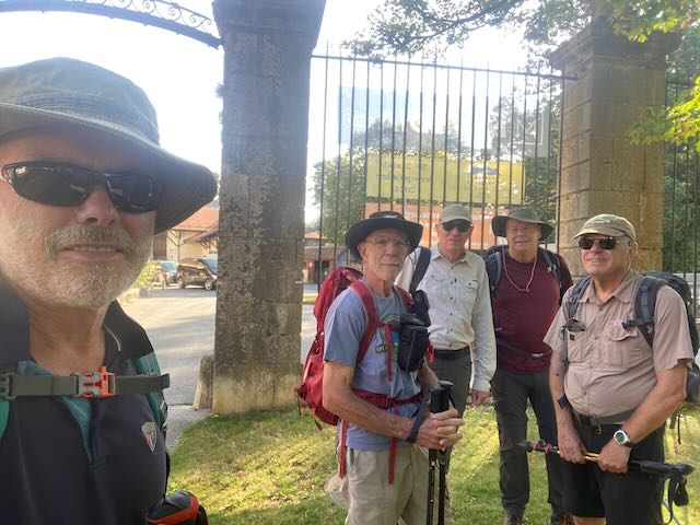
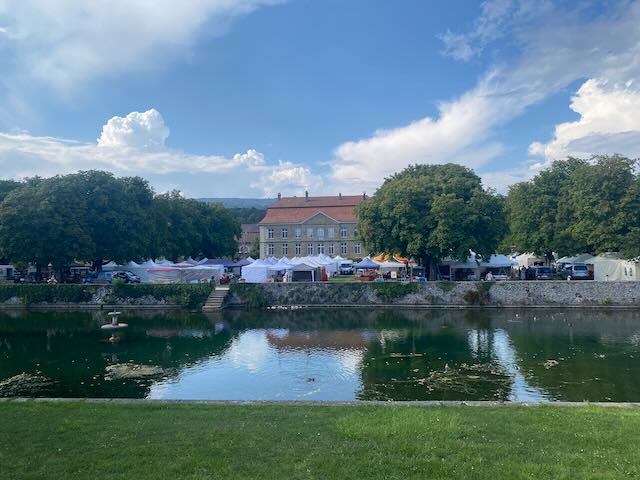
We assembled à l’heure at 10 am at the parking at the station at L’Isle, a place worth visiting for its magnificent chateau. First then some culture:-
“Also known as the “Petit Versaille de l’Isle”, this magnificent château was built in 1696 by Charles de Chandieu, a Lieutenant General in the Swiss Guard. It was the first regional monument of classical architecture.
Built in 1696 by Charles de Chandieu, the Château de l’Isle is a monument steeped in history. Originating from around 1700 during the classical era in France, this building greatly resembles that of the architectural movement of the time, where the Château de Versailles was built.
The, “La Vénoge” river has enabled the Château to benefit from a beautiful French garden, as well as a river basin bordered by two tree-lined paths. At first the Chandieu family lived in the old residence until the end of the 18th century. François Louis Roulet of Neuchâtel was the first to live there in the 19th century, and then it was handed down through marriage to the Cornaz Family of Montet Cudrefin.
In 1876, the commune of l’Isle bought and restored the château. Today it houses the municipal department of housing and classrooms. Since 1941, the château has been a listed building.”
Starting team inside the Château grounds.The Château after the hike, with Brocante show evident
It was indeed going to be a warm day, and for a 750m denivellation, we were going to sweat our way up. Happily most of the ascent was in the shade.
We passed by the château and it’s about-to-open Brocante in the grounds, some old and slow moving items there too.
The early part starts from 660m gently and gradually rises up, after 7.5km to the summit plateau. A long hike that for opposite reasons from 2021 we found quite trying.
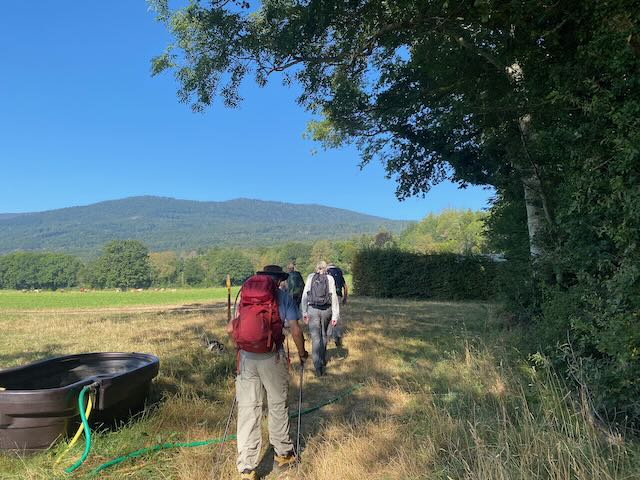
Starting out up past the Source of La Venoge. Aming for the green hilltop.Passing natural hazards
We were making steady progress and not hanging about at all. In fact we arrived 30 minutes before the 1pm time of the table I had booked.
On the way up we traversed a short stretch of road, carrying a number of cars full of folk going up to eat at the Buvette. It was going to be busy up there.
The final field, Andrew going strong this time
At the Buvette (1395m) we were uplifted by the beaming smile of Richard who had been hoping to hike down to meet us, and only slightly disappointed that we were early. No worries we were soon ensonced at a corner table and supplied with beers from the friendly waitress.
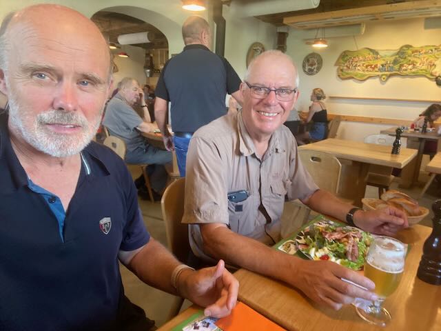
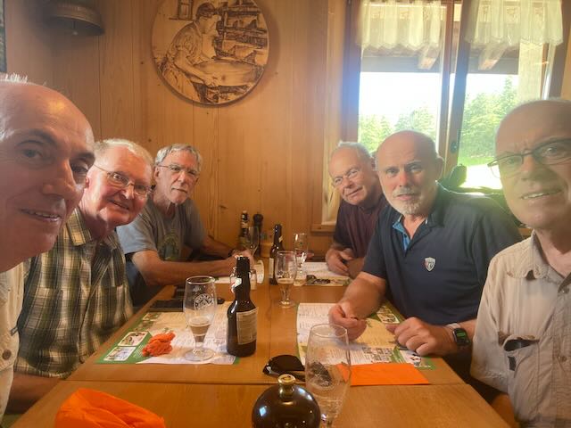
Refills arrived before the food – Service dix points !!!Leading to happily rehydrated GintlemenExcellent cuisine too!Wet shirt brigade, we were soaked – slightly differently from the soaking in 2021Healthy choice lunches for someUsing my selfie stick, from Temu
The food was great (well my En-croute-with an egg was), the beers too, and we had no need for desserts, only coffee. Some chf 35 per head – good for Switzerland.
As usual, apart from remembering absent friends, my recollection of the lunch conversation ended up limited – and realising this would be the case I dictated this wording at the time :-
“Swiss Chateau theory and GINI coefficients (Mike), death, electric cars (Mark as his Audi has pegged out), cancel (actually Cancer – thanks Richard), Portugal, Temu, female Dentists and their warmth (patients with bald heads), no Scottish Independence, dental appointment as an excuse, Friday, excuses, excuses excuses, excuses, excuses excuses Mark Warren (?) excuses (sic).”
Also how a certain member’s spouse had been locked out of her car at Signy Centre owing to ignoring the “CHANGE THE BATTERY KEY” for several weeks, and the best ways to solve the problem, after the event.
All too soon it was time to descend and we said our farewells to Richard who was heading down to the Lac de Joux.
We set compass for the north and passed by a herd of cows, unnerving Rocco (who had been very well behaved at lunch!).
Starting down and cows ahoyHeading towards the Combe à BergerRocco leads the way down the Combe
After a couple of kilometres we headed off down and right. A sketchy section on our maps showed no path connecting two tracks and the way we wanted to go. Nathan’s simple advice was “wing it”, so we did and it worked fine. Down in the clearly unfrequented Combe à Berger a series of quite remote trails led in 5 or 6 km to the outskirts of L’Isle reached shortly thereafter. Just before the edge of the forest it began to rain heavily and we donned jackets. We had heard the roll of thunder several times on the way down, but it seems back over the Lac de Joux area. The rain stopped after 2 minutes.
Some of the party (not Rocco) were now showing signs of being the worse for wear. Were we missing the digestifs (RS had some but we passed on it after our lunch) ? Last time the descent passed quickly. It had been 16.5km in total and 750m up and down in some heat, happily a bit more shaded in descent. We found salvation at the kiosk next to the château with cokes and ice creams.
Recuperating at the KiosqueWe had missed the storm (almost anyway)
On the way home (thanks Mike for driving) the temperature showed 33C on the autoroute. I was home by 6pm.
A long and steady hike but take plenty of water in hot weather, and good rain gear in poor weather…
Still in the warm August heat, but not quite so hot now, this hike repeated the ascent of the Pointe de Poêle Chaud also made on hikes of 31 Aug 23, 28 May 22, and 2 Nov 2020 with 31 May 2020 (the latter both Swiss section only).
Seven of us appeared at the five star car park at La Givrine on a fine morning, variously Ross, Thatcher, Mervyn, Nathan, RichardW, Andrew and me, and Kobie. I had apologies from quite a number of folk, most seemed genuine. We missed you all.
My plan was to ascend via my “secret” path to the col just right of the Pointe de Fin Château, then ascend the ridge to the PdPC, down to the Col de Porte and ascend to a recent lunch spot near La Barillette.
This ascent has the advantage of having morning shade.
The team about to enter the forest on the Secret Path
It was sad to me to find out that, like Kathy Kirby, the Secret Path was not secret any more. We met a couple coming down and then were overtaken by a sizeable organized and fit-looking hiking group going up. The forest was cool, dank and green.
Taking on some liquid
However we re-overtook that team when they stopped for a rest, and on breaching the col we found another 15 rucksacks stashed under a tree. A second team were clearly out taking in the views on the PdFC. We did not let this unexpected traffic dampen our spirits as we ascended in clear air the ridge to the PdPC, where the sun was warming things up.
One cannot quite make out here the party of 15 on the PdFC behind us, but they were there
We were soon at our goal.
Kobie about to do a stumble turn in the water troughOur team take in the wonderful views on the PdPC
It was apèro time and Mervyn opened a bottle of chasselas, luxury.. and we took in the views and solved the world’s problems.
Spirits of the mountainAll of us on the PdPCView to the Dôle
Onwards downwards to the Col de Porte where we eschewed the choice of summiting La Dôle again and instead headed down left past the Chalet des Apprentis.
Ross striding down from the CdP
Down at the dip we could see on the left the hardy and brave Bent Tree still showing some greenery.
The Bent Tree in winter, still hanging on (from our GIN SS hike 13 April 2023)
A quick scramble up to the picnic spot that we found on 18 July when we had hiked up from the Barraque a Kuffer, with a fine view to the Dôle ridge and showing stick people in silhouette.
Richard holding off the quiche thief (who won some)Andrew proving that he is still aliveThatcher forming a strong K bondSome took the chance to sleepThe blue check team
Lunch was most pleasant – as we had the choice of sun or shade, and Richard opened his screw-top bottle of rouge. More world problems were solved and Andrew did some paperwork. Others slept. Kobie filched some quiche.
After an hour or so of lounging in the sun and shade we packed up and headed up over to the Tower of Power (apparanetly a rock group Ross knows about).
Towering impressionPano view
We passed by the Barillette Restaurant without stopping for beer (again!) and descended towards the tricky section past Couvaloup de St Cergue and eventually back to the restoration at La Givrine.
Descending in Arcadia, the Pointe de Poêle Chaud is on the left horizon
We were sipping beers and coffee in time to witness a large crash on the tv in the Tour de France Femmes Zwift.
A very pleasant hike, 13.5km and 564m deniv (Nathan may have a different summary). Thanks for the fun and tolerating my hound, who had a great day out too.
PS That night the heavens opened in Coppet, 34 mm of rain in as many minutes.
Participants: Nathan Finkelstein, Bill Westermeyer, Mark Warren, Drew Meek. Paul Dworjanynn, a visiting friend of Drew’s from Australia, joined us. He’d recently finished two months and 1600k walking the Camino and had lots of pilgrim’s tales to share.
At Divonne, Nathan was in discussion with Frank at the Refuge de la Loge about likely storm arrival and, on arrival, telecabine staff also gave warnings of storms. There was some concern about whether the telecabine would be running on our return for the descent and possible impact on scheduled timings for some after the walk.
We arrived Lelex at 09:45. Telecabine up to top station.
It was hazy but there was a pleasant temperature for most of the hike. No rain was seen by the time we got to the telecabine to come down and after that, we didn’t care. It was so much hotter on return to Divonne so we were glad we’d spent the day in the mountains.
We started from the top station at 10:10. Our route followed the darker blue line on the map. Nathan led us up into the forest and away from the refuge to avoid any early stopping for beer or lunch.
We walked out of the denser forest to the Sous-crêt, arriving about 11:20
mark had indicated he wasn’t going to proceed to the Crêt de Neige. While the remainder of the party went on to the summit (round trip around 45m) Mark rested there for a while but also took a stroll up to the Brand Crêt for a view from 18m inferior to ours.
The path along from the Sous-crêt to the peak was quite rocky and I recall it being easier on a previous winter’s snowshoe outing. However, that trip didn’t have the wildflowers seen on this trip.
We arrived at the Crêt de Neige peak (1720m) at about 11:40
After returning to the Sous-crêt to reconnect with Mark, we headed down the main path to a point where Nathan consulted his e-thingy (around 12:30) and we diverted down a path les travelled , reportedly a short cut to the refuge.
It was a fairly steep descent with some parts of slippery scree to negotiate. Mark made a rapid descent to earth on his arse , losing a bit of bark on his elbows but there was not much claret.
Just after 1pm we reached the bottom of the diversion and headed across the fields till we hit the path leading to the refuge
We arrived around 13:15. There were many hikers there. A pair of women on the next table took our group photo. They were en route on a 100k, 5 day hike to Bellegarde.
Perhaps Mark’s earlier fall has some additional consequences as he had difficulty opening his beer cans, the second instance requiring Swiss army knife intervention to open the can after he pulled the ring pull off an unopened can.
Finally, sufficient amber fluid was consumed with our plats de jour (croque or pork brochette). This was followed by a whisky digestives before tartes myrtilles, coffee and genepi (the latter offerred by our hosts).
We left the refuge shortly before 3pm for a short walk to the top station, where, in the absence of storms, the telecabine was running. We arrived back at Lelex around 3:15. Nathan departed for his first aid duties back in Geneva. Thanks to him for organising a great day’s activity. The rest of us returned to Divonne.
Attending – all at Divonne except Rob, Drew and Rodney(who biked up !!)
1.Nathan
2. Mervyn
3. Drew
4. Rob
5. Mark 2rs
6. Mark 2ts
7. Ross
8. Nicolas and Onyx
9. Bill
10. Philip
11. Rodney
12. Peter and Kobie
I had received apologies from several – Peter Strebel in the Engadine, David Colledge and Thatcher – both in Villars, Stephen Long – child minding, Richard Saynor – knocked out by therapy, Peter Drew – clubbing in Berlin, Larry – abroad, Paul – with guests, and I knew others were away, so I was pleasantly surprised when the list grew to 12.
Chapeau first of all to Rodney who biked up. I had done that the day before to check parking, and at over 700m to the Baraque a Kuffer at 1142m on the Barillette Road, I can attest that this is penible.
The following rather useless heart rate map shows our anticlockwise track – the Barillette tower being above the “g” of “green”, lunch under “w” of “watch”
The route – started at the red dot – my watch only turned on at the green.
To cater for the assembled punters this was planned to be not a very challenging hike, 9km and 420m, but in the hot weather I think most found it acceptably sufficient for the day.
We set off from the sign on the road under which we parked the cars and bike:-
Asembled team about to set off
It was a warm day – for shorts – but Nathan and Drew were protecting their legs from ticks. I use the hairy dog protection method, sending Kobie first through the jungly trails.
The initial track led us gently upwards to underneath the Rochers de Pierre Lente. Is this slow Peter, or slow stone ? – please advise if you know.
Rochers de Pierre LenteAt same point looking back
We traversed a scree slope and across to where the path forked steeply upwards in the forest. One member complained that I had not mentioned that there was a vertical section in the hike. In truth it was steep for a while but not impassable and soon the slope eased and we were ambling up through sunlit glades.
It was not long before the Barillette restaurant was encountered. I believed this to be the crux of the whole route, how to get 12 thristy hikers to walk past a terrace of beer without stopping? The sign “COMPLET” helped, and my thinking was that we had enough alcohol in our sacks – sadly I was mistaken.
I urged the team not to linger and we passed on up.
We reached the Barillette Mast and although the views to the alps were a bit hazy, being the top of the hike there was some good cheer :-
At the Tower of Power
We meandered down across to the path that leads to the Col de Porte, and stopped under the shade of a tree on the fresh grass for our lunch:-
Lunch – a pig’s ear for each dogSun or shade – to choice
It was a pleasant lunch spot. We drank a toast to the health of absent friends, especially Richard, but in veritas there was not a great deal of vino to be had. (Note – for future picnic hike leaders to pre-encourage a little more of the fruit of the vine to be carried and tasted up out in the fresh air). Thanks to those who did supply us though, and to Rob for Scottish fluid and Mark2ts for his hot strong black liquid, Mervyn for milk. Conversation flowed – I can only remember that Mervyn was to be blamed for something… I believe the dogs behaved, but let me know if mine stole your sandwich. We had great views of the Col de Porte and the Dôle ridge.
Time to be off and we traversed down and round through a field of cows – without incident with our hounds, I always prefer a direct approach (and with Kobie not on a leash – so he can run off):-
Cows ? No worries Pointe de Pôele Chaud in the distance.
The journey back down involved wide tracks in the forest, the first of which had been decimated by a huge logging machine, unpleasant. All went well, albeit I somehow lost my dog-chewn straw hat (I’ll try and go back to find it soon).
Just before the cars, there was a choice of steep shortcut down through the forest or a trail to the road and down, each taken by equal numbers, and we all reached the cars within minutes of each other.
Rodney prepares for his bike descentFinal pronouncements
These are the good days. May there be many more.
Thanks to all for coming, and to drivers. And for coping with our hounds – I think they behaved pretty well though. Next hike in two weeks.
The sign up for the hike on the 4th of July got off to a very slow start. Mark and I were beginning to think we were becoming the Millwall FC of the GIN group (Millwall is an English football club whose supporters are wont to chant ‘No one likes us but we don’t care’). Fortunately, the pace picked up and we were eight in principle but seven with a late withdrawal by Philip Jenkins. Hope you are feeling better Philip.
Getting to the Col du Marchairuz was not helped by a major redesign of the road network in Begnins which necessitated a fairly lengthy diversion. Worth bearing in mind if you are headed that way. Probably it will be one of those rush jobs beloved by the Swiss so like Versoix and Bellevue the road will probably only be blocked for a couple of years!
So Mark W, Nathan, Paul, Peter D, Rob, Ross and myself set off with Mike M and Nessie joining us for lunch. Rocco, my spaniel was planning to join but heard stories of fierce cows from Kobie and decided discretion was the better part of valour.
It was a brisk 15 degrees when we set off and, despite MeteoSuisses predictions, more than just overcast but actually raining. Fortunately the rain stayed light and eventually gave up altogether. We set off from the corner of the Hotel’s terrace, descending for a while before following the ridge south west. The vegetation was much remarked upon – dense was deemed insufficiently poetic, lush was considered but exuberant was settled on. The rain followed by warmth of the last few weeks has produced a huge amount of growth. The presence of snails and slugs was also notable and there was some discussion of snail farming. Photos exist of a bit of three way snail action taking place in the middle of the footpath but since this is a family blog with sensitive readers such as Peter T, I don’t propose to add them.
Given the plethora of elections taking place there was some discussion of politics. Rob professed optimism for the SNP’s prospects – plus ca change – while Mike H discovered that some deluded soul was standing in Putney for the ‘Rejoin the EU Party’ so voted for that. 288 people joined me in that and we came last! Rob’s favoured party did a little better (but not much!)
The route loops around south and then comes back north east towards the Hotel, in slightly better weather but not sufficiently better for us to consider eating outside. The interior dining room was packed and a good, mostly röesti lunch was had with appropriate liquid refreshment. This was followed by an historic apricot tart – worth the trip – was the general verdict. It was also agreed that a hike ending at a restaurant was a good plan with stiffened ancient legs having only the car park to traverse.
Much enjoyed by all participants and particularly by me since, for one reason or another, I haven’t managed to get to many walks this year.
All the best
Mike
P.S. When dropping Ross off in Coppet I spent 10 minutes in the Pas de Ian Fleming exhibition in the Mairie. There is not a huge amount there but it is interesting to learn of Fleming’s life in 1930’s Geneva, the use of Coppet as a location in the book Goldfinger and see contemporary photos. Closes soon.
This was going to be a bit of touch and go. The weather forecast was iffy as well as being uncertain, but then I’m not so sure.. some softness was expected at first and a great deal of softness later.
9 hikers turned out at the parking at Tancouez near St Cergue just after 10 am on the second longest day of the year. Despite the forecast, there were no late withdrawals. My plan was to hike up to the Vermeilley Hut, then to the Carroz Hut and down to La Givrine returning on the little red train to St Cergue.
In no particular order we were :- Mervyn, Ross, Nicholas, Nathan, Marks 2ts and 2rs, Richard F, Peter S and me Peter T, with hounds Onyx and Kobie.
It was spitting with rain at the start but nine (Ok eleven) were mostly smiling :-
Three pairs of shorts, mostly rain hoods up, mostly smiling…
We paid for the parking (I had thought mistakenly that it was free there) and set off. Almost immediatley we entered a field of Alpine meadow flowers untouched by cattle herds – we were transported into Arcadia. With lifted spirits the misty rain seemed to disappear a little.
Upwards and onwards across cow pastures past Les Agozats and into the woods. The Leader was marked down a little for leading the team across/through a wire fence which required some acrobatic efforts to overcome – at least it was not electrified.
PeterS and Mervyn help Mark2ts through the fence.
Once in the woods the rain became less of a factor and we were swiftly up past Mont Roux and into a section on the map marked as Pible à Gaudin. (I looked up “Pible” in Google and Chat GPT – it stumped them). Some gates with large latches followed and we reached a section which the leader had previously forewarned was “a little sketchy”. Encouragement was given to not lose heart, and off we set up into the wilderness, off trail. In fact the worst of it was the wet leaves of the greenery on the less than obvious and rather unused and sketchy path..
We were however soon up then down into Combe Froide, in our case Combe Damp.
Looking back in Combe FroideLooking forward in Combe Froide
Passing a farmer who advised cows were ahead we leashed the hounds and skirted round the electric fence to the Vermeilley Hut at 1320m. This is a nice eatery in winter but in summer it’s just a rather smelly cow hut, and although it was just after midday, it was not a suitable picnic spot. Besides, misty rain was blowing in still.
I must say I was impressed that there was not much of a mutiny when I urged us all on for another hour in search of the Carroz Hut where we might find a more suitable lunchery. After a bit of a tramp up the trans Jura Road we passed the same picnic spot where we had lunched three years before in sunshine, and I recall a bank of snow for the white wine.
15 April 2021 Lunch – we passed this spot again on 20 June 24April 2021 Wine Cooler
We successfully reached the Carroz Hut at 1508m at 1pm or so, finding a work crew there doing remediation inside. Outside there was a choice, either sit at the nice new tables but somewhat exposed to the wind, or squat round the back on a low plank. We nearly all chose the former. Indeed it was breezy, but not too cold and the rain had stopped. Heck even the sun began to make an appearance.
Still in the mist Peter’s, Richard and RossNicholas dog trainingThe sun came out and the Alps appeared !Still smiling An unfinished bottle as we packed up
We toasted absent friends with white and red, the dogs had pigs ears, sandwiches were munched in the wind, and finally we were treated to a magnificent view across the Lake to the Alps. These are the good days.
Forecast heavy rain had not materialsed – for once (again..) we were in luck. Realising we needed to get moving to catch the 14.48 train at La Givrine, the party was assembled for the downward trail.
The first half of this section involves a 2km gentle walk down through the most beautiful forests that the Jura have to offer. This area is well worth a visit.
Kobie leads us down through wonderland, La Dôle in the distanceEven Mark enjoyed this descentThe verdant woods
We reached the road that leads to La Genolière (another winter hut for food but just a cowshed in summer) and turned right easily down to the station where we arrived with over 18 minutes to spare.
Still dry – waiting for the trainThe Little Red Train arrived on time
The train ride back to St Cergue preceded a short stroll back to the cars. Thanks to all who attended and for your forbearance in holding out til 1 pm for the lunch spot at Carroz which did the trick. And to him up there who provided some sun for our picnic. The rain came in later..
I received apologies from 10 or so including Rob, Thatcher, MikeH, MikeM, Rudi, Stephen, Bill, Philip, David and RichardS – I may have missed others. Sadly you all missed a decent hike in fine Jura country and Ok weather. 13.2 Km and 560m (thanks Nathan).