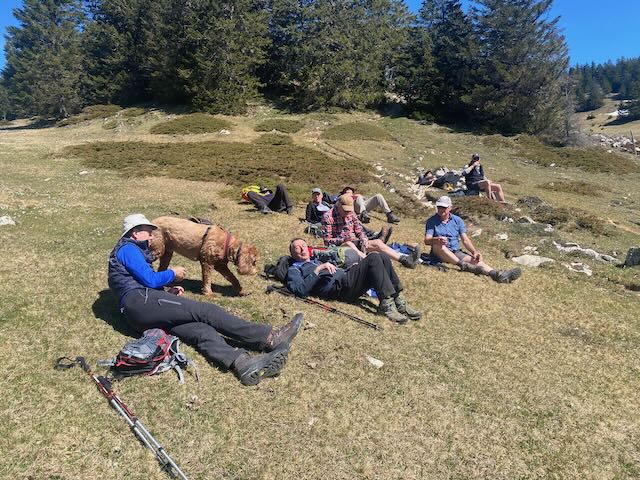
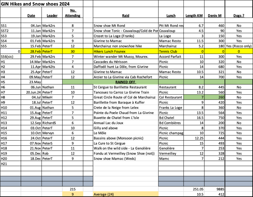
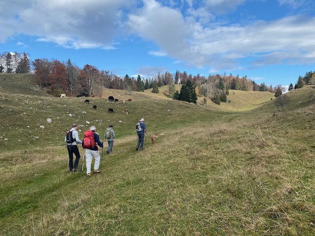
Each year for the last 4 years we have had a hike early in the season to Sonnailley to see the fields of daffodils. A couple of times we arrived just after they’d finished and this time we arrived slightly too early. Still there were some daffodils on display and it was a very enjoyable first hike of the season.
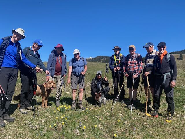
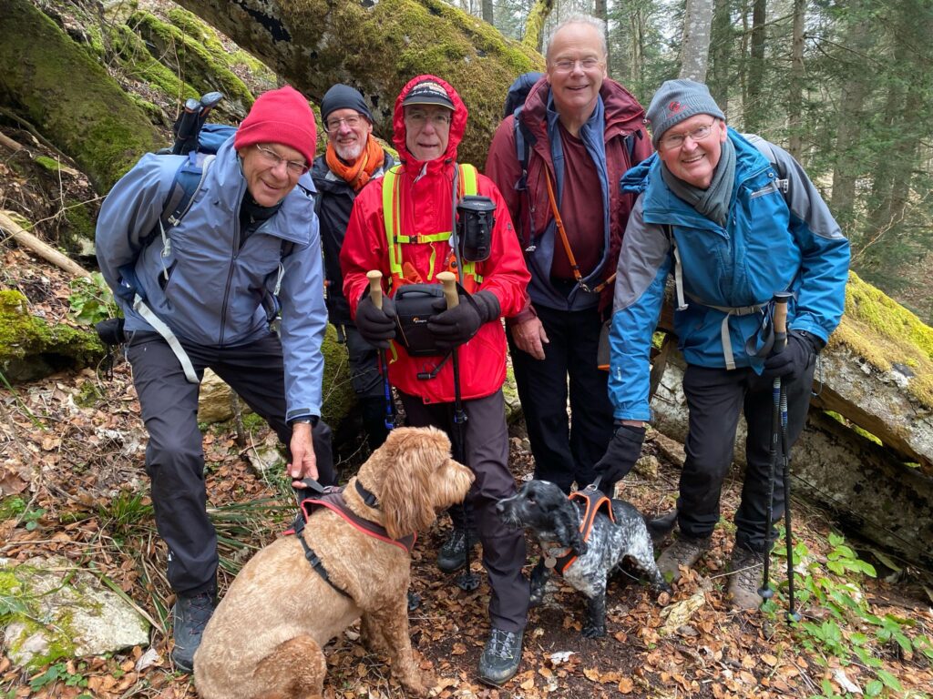
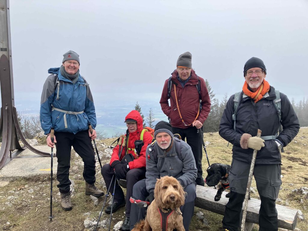
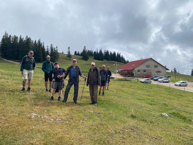
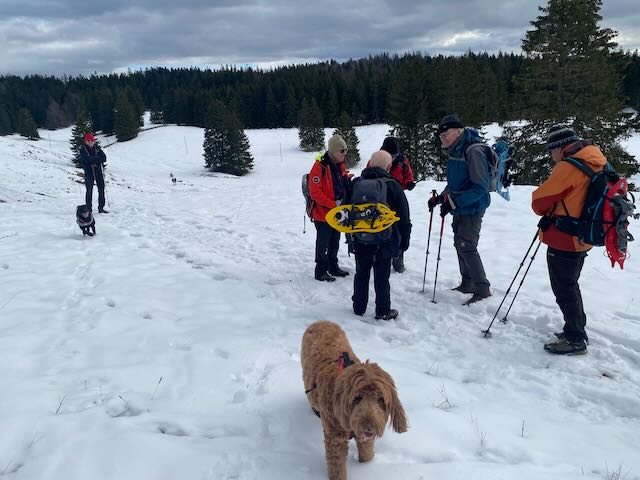
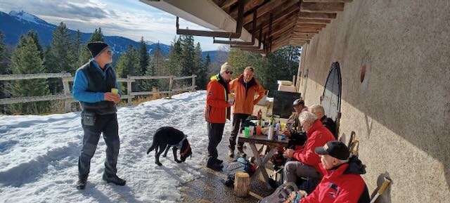
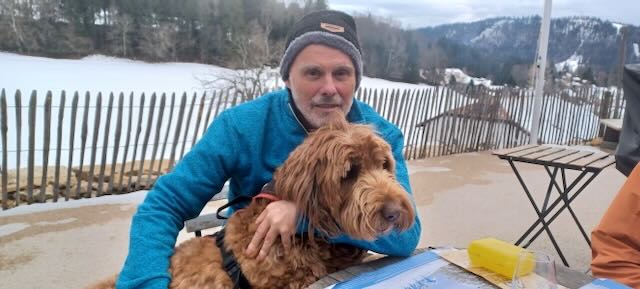
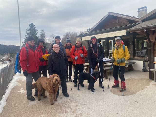
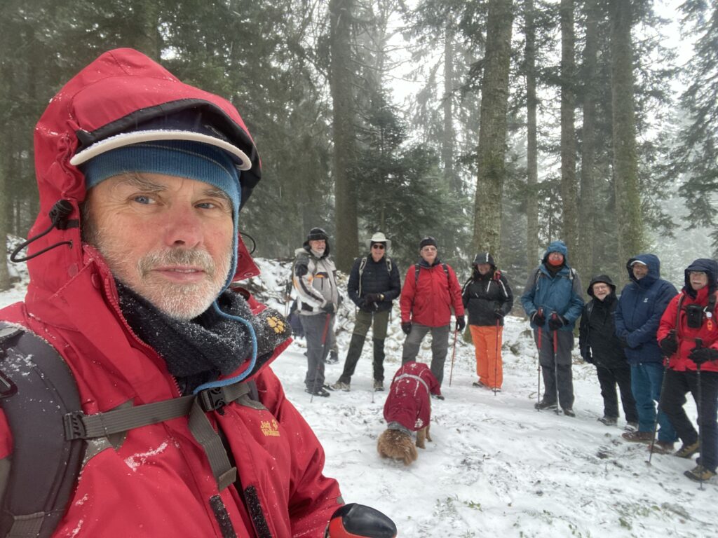
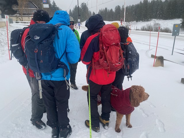
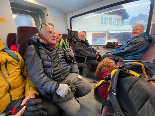
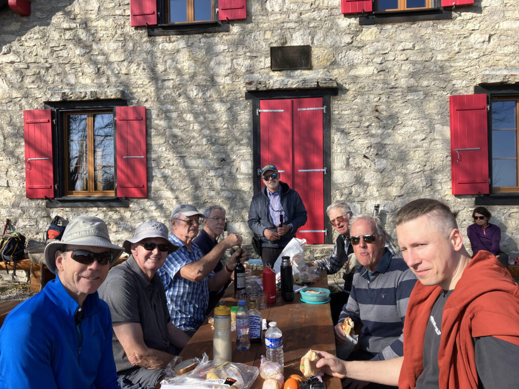
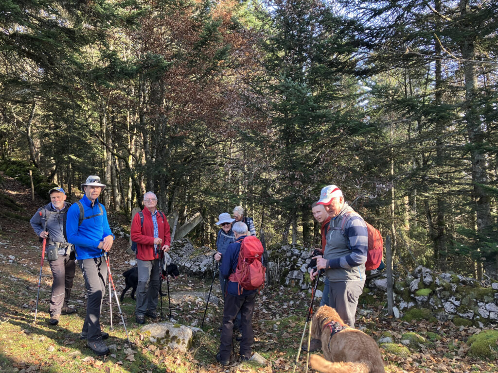
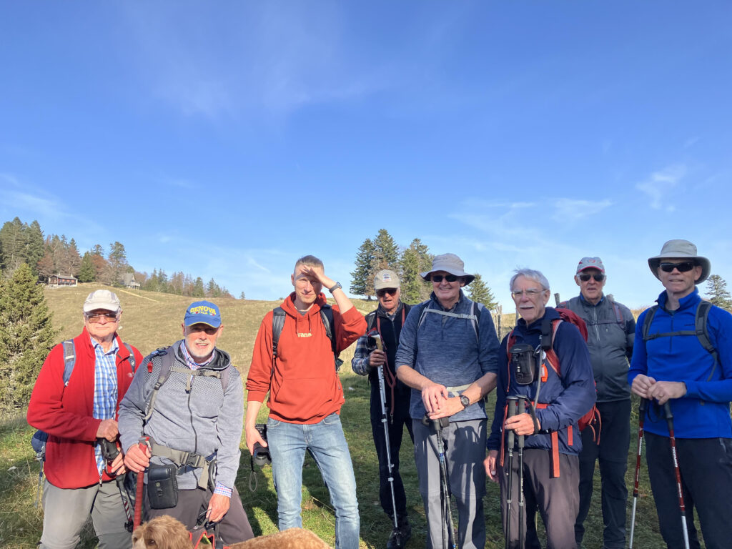
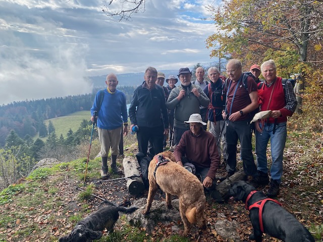
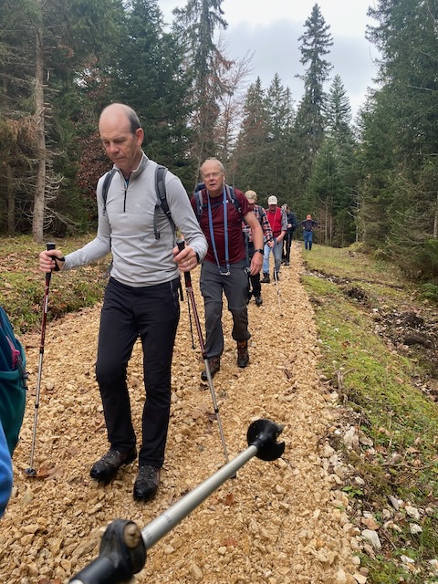
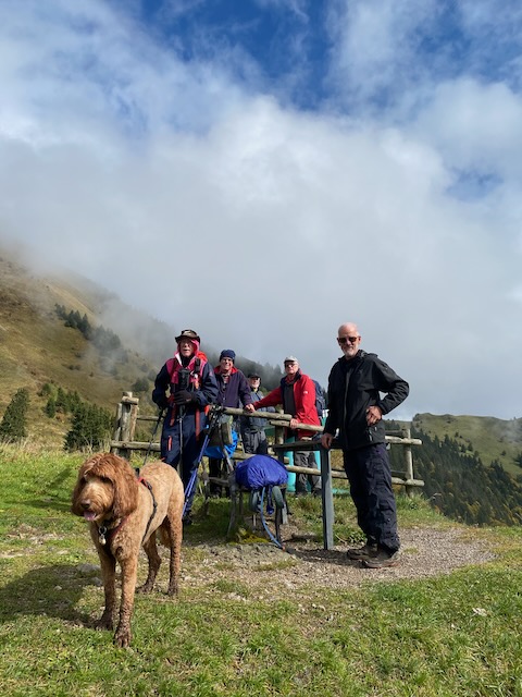
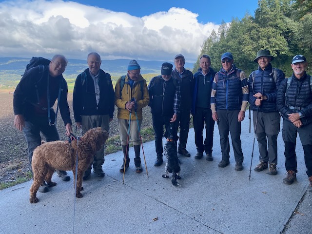
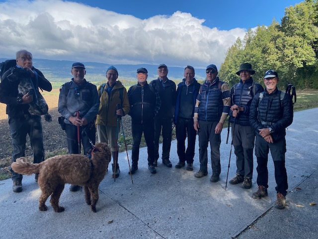
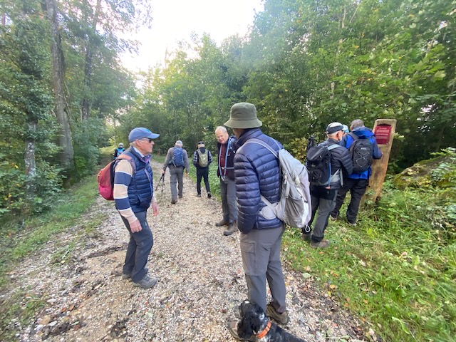
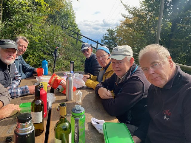
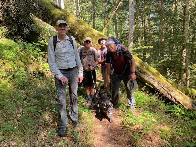
Five of us: David C, Mervyn, Nathan and 2 Marks met at the parking in Divonne and drove up together to meet Peter, Steven, Ross, 2 Mikes: Hempstead and Mathews, and 2 dogs: Kobie and Rocko, at La Givrine.
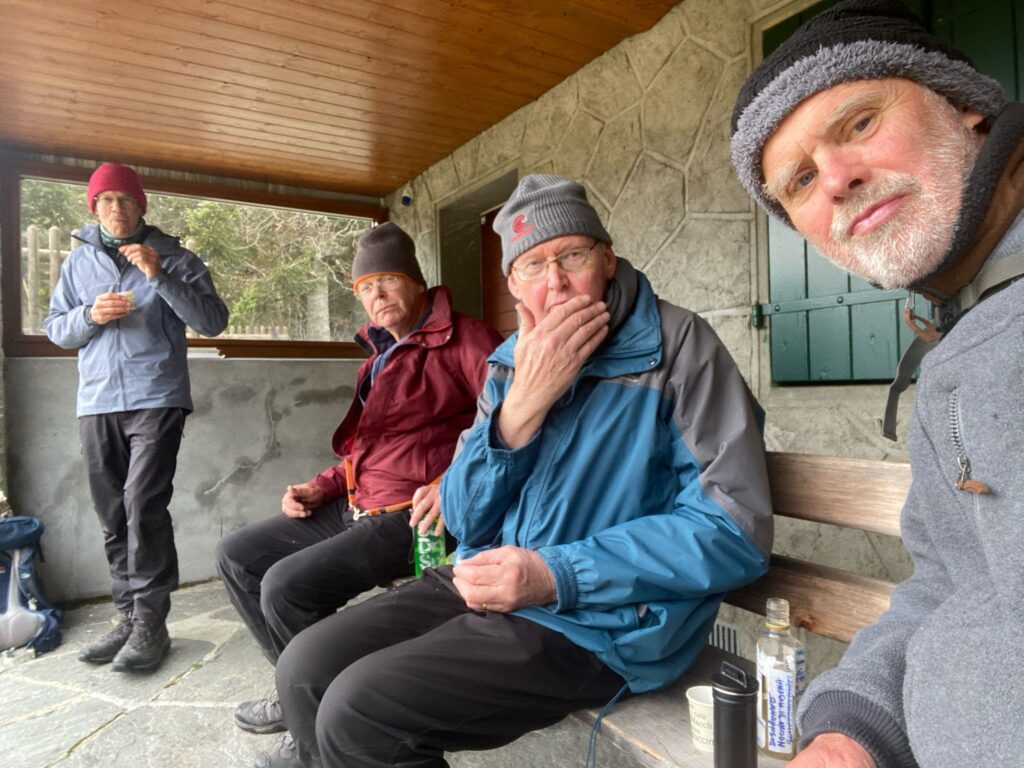
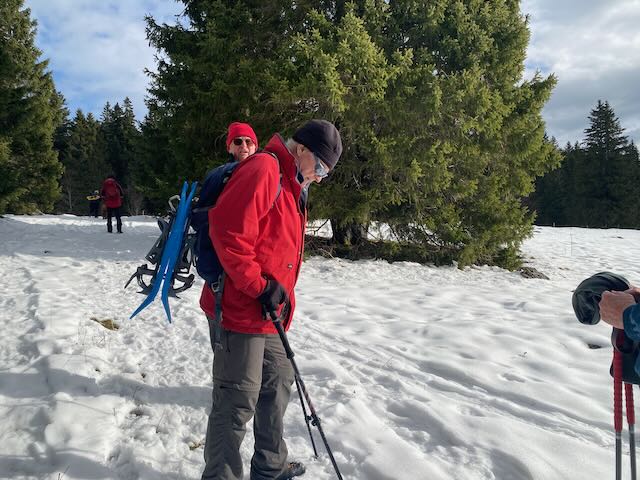
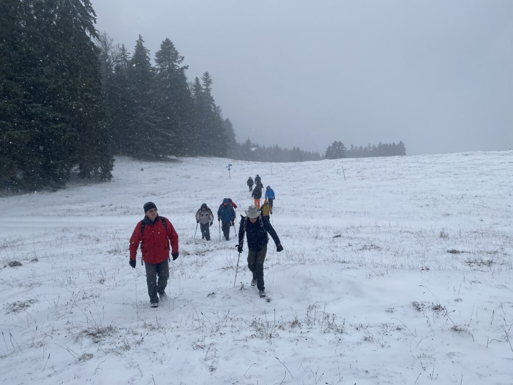
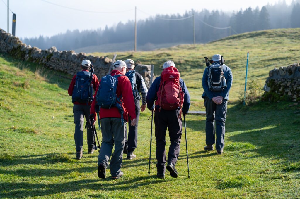
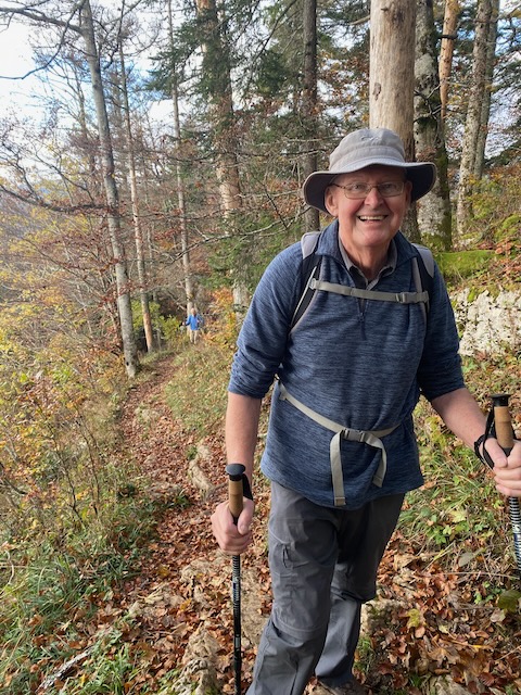
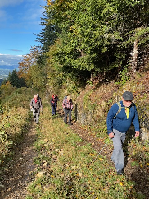
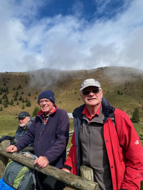
It was a clear day with no prospect of rain but a strong, cold wind so we were all well wrapped up. After the usual fuss with the parking we were off. We walked up to Couvaloup de Crans, sadly closed midweek, and on to the top of the Dôle. Here we stopped, slightly sheltered from the strong wind, for refreshments. It being close to the birthday of one of the members a glass of crémant d’Alsace seemed appropriate.
Sheltering from the wind
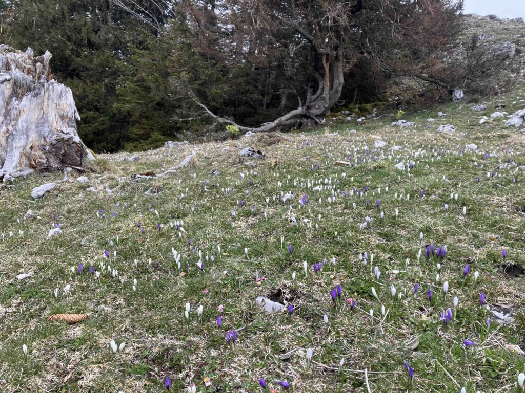
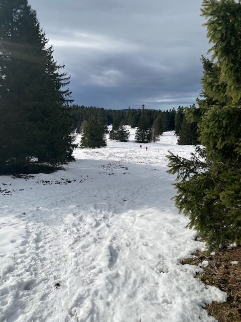
On the way up we had seen about 6 daffodils so the prospect of seeing a field full of them seemed remote. On the other hand there were masses of crocuses.
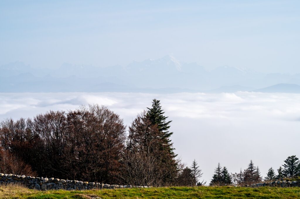
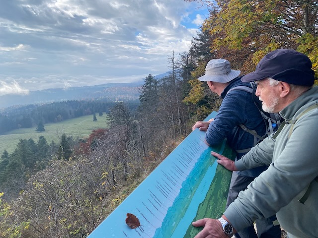
The view from the Dôle was magnificent, we could see the whole lake and Mt Blanc in the distance. Sadly this is never properly captured in a photo.
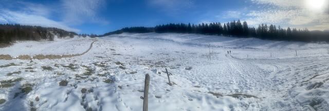
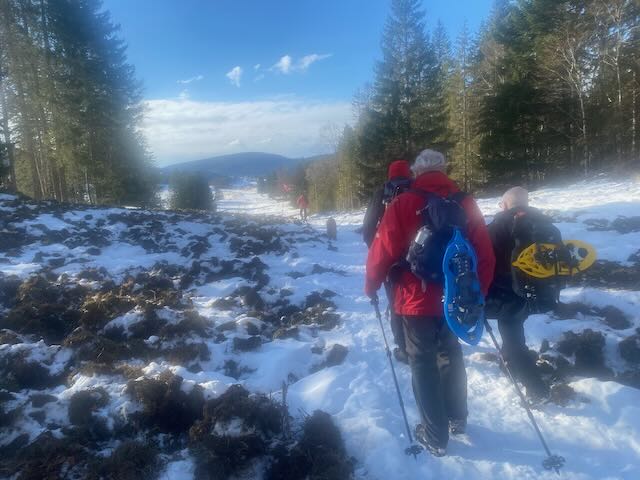
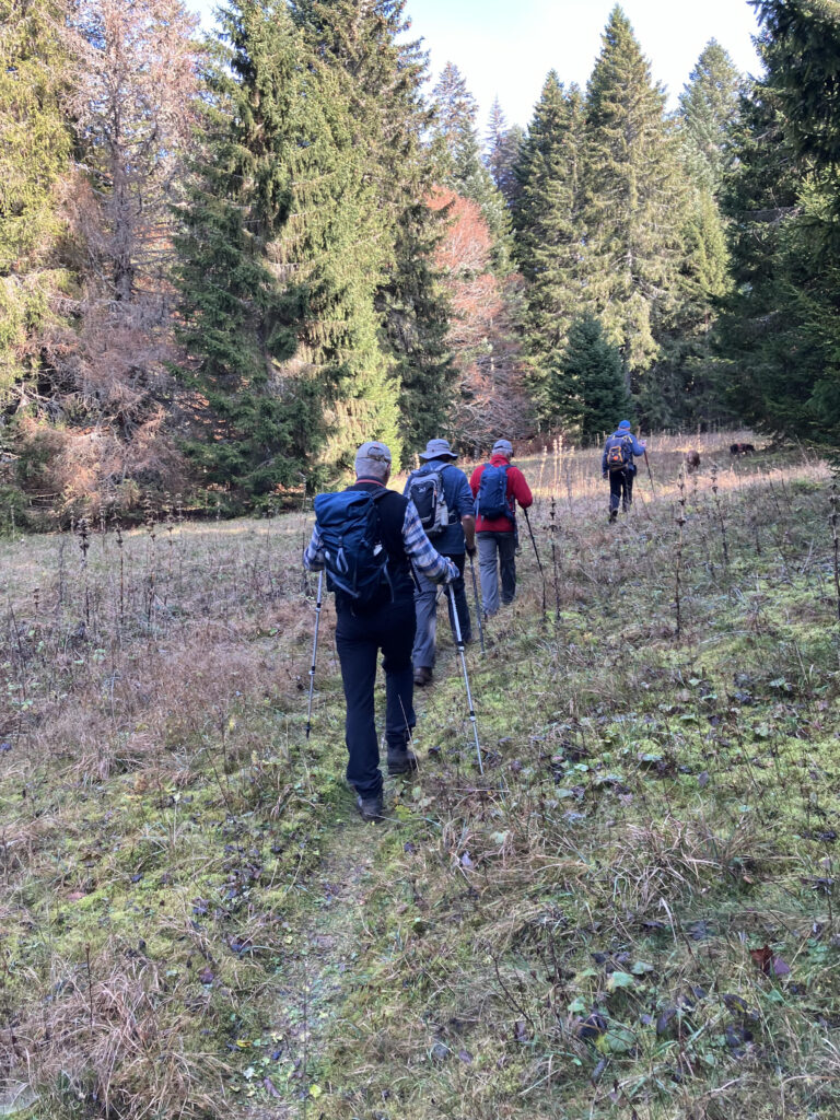
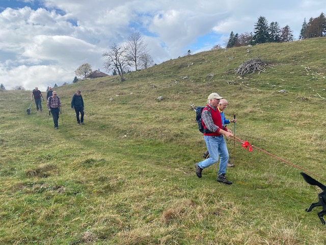
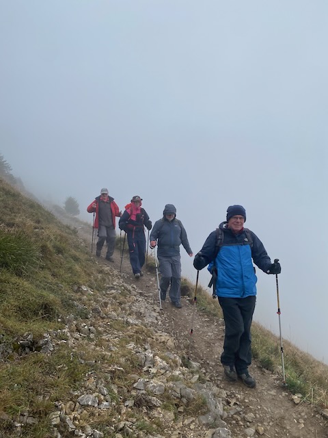
Duly fortified we ventured out into the wind and began the descent to Sonnailley.
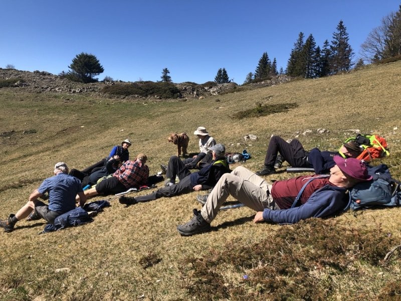
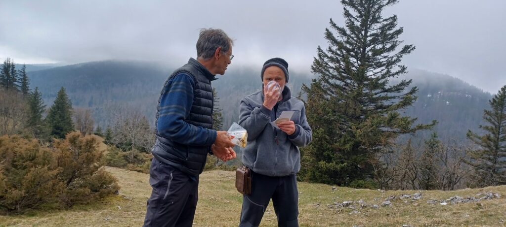
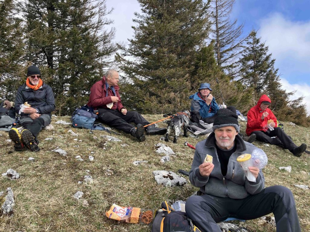
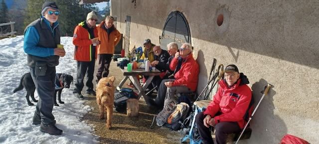
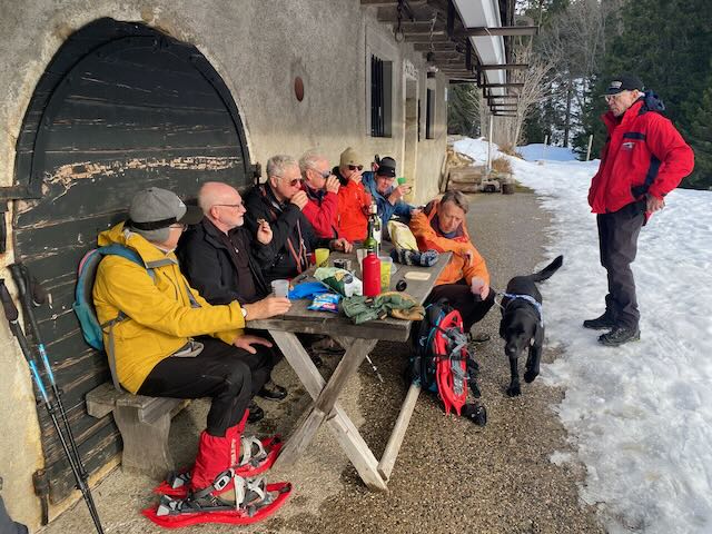
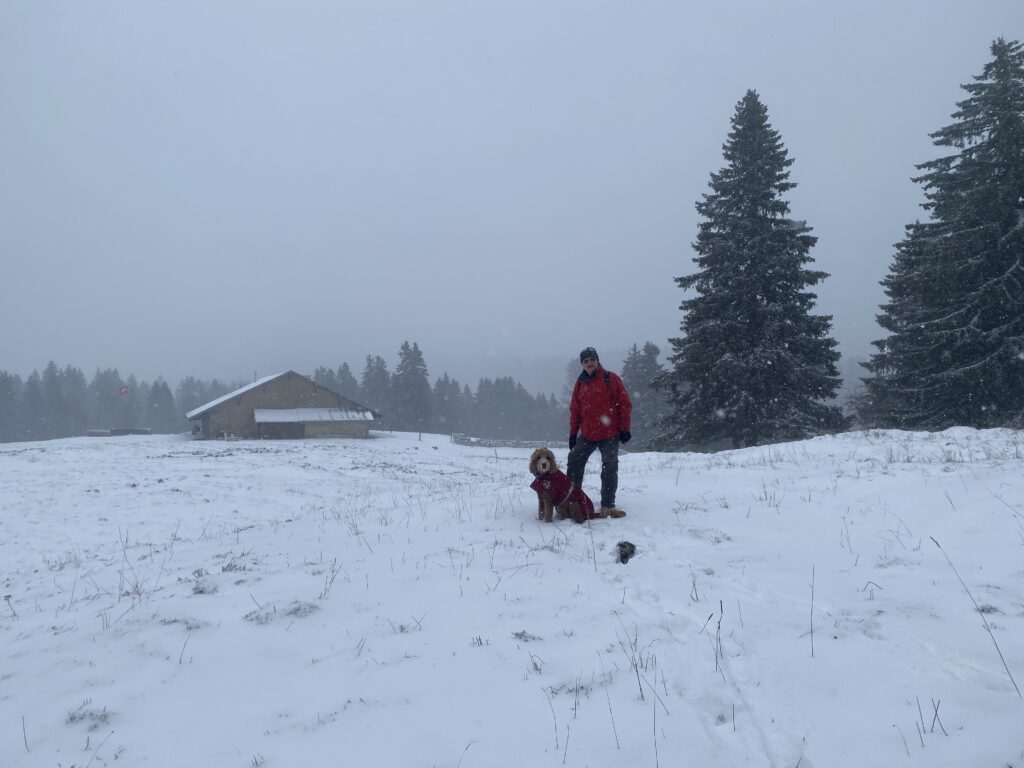
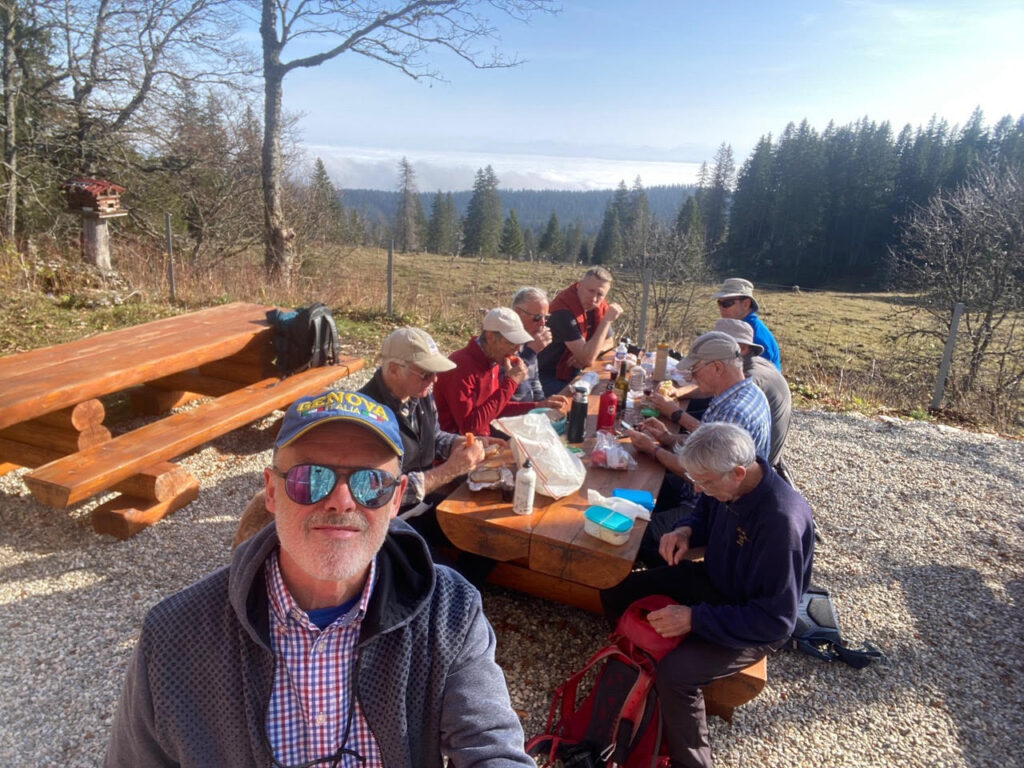
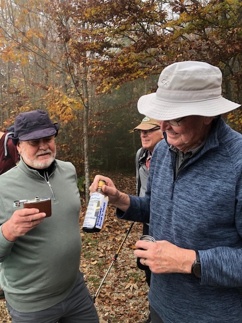
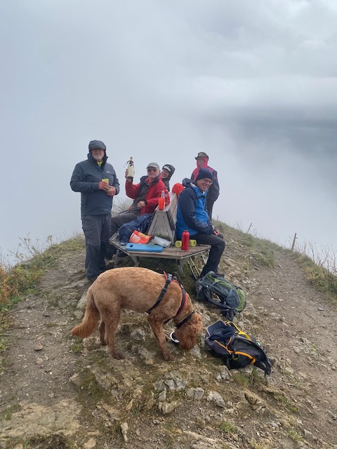
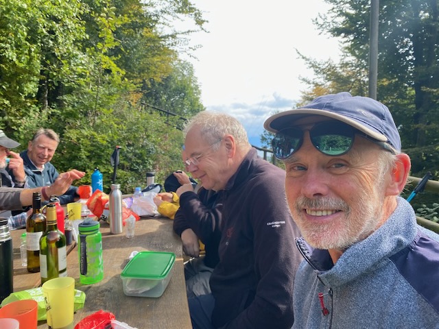
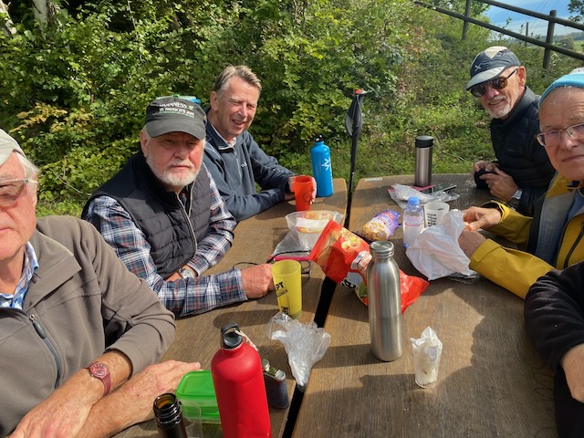
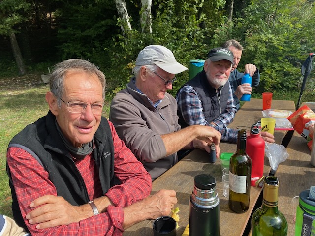
We’d got through the difficult bit of the descent and almost reached the plain when we realised we were semi dogless – Kobie was not with us. After much blowing on whistles there was still no sign so Peter went off on a hound hunt. The rest of us were on a gentle grass covered slope, in the sun and out of the wind, and it was already 1 o’clock so we decided to have lunch while waiting for the absent dog and master. This had been promoted as a daffodil hike and there was one solitary bunch in view with 5 flowers, somebody counted.
Peter and Kobie soon returned and we were treated to a selection of red wines courtesy of Peter, Stephen and Mervyn, followed by the inevitable black coffee from Mark. Some trouser legs were removed to reveal very white legs and all seemed well with the world as several layed out in the sunshine and maybe even had a sleep. Unfortunately our mean leader could not get comfortable so we all had to set off again towards Sonnailley.
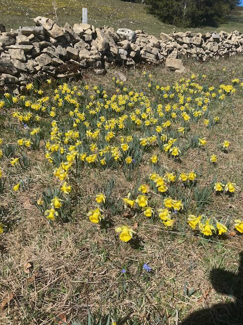
So there actually were some daffodilsAnd even more
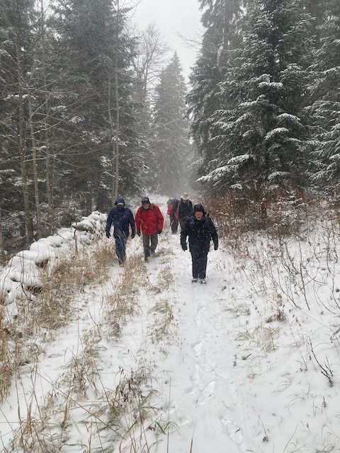
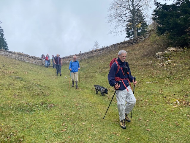
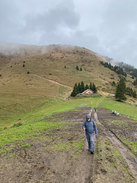
We then started the return via Sonnailley au Prince and a lovely path through the forest to arrive back at Couvaloup de Crans, sadly still closed, and on to la Givrine.
All agreed it was a great walk to start the season. 14 km and about 690 m.
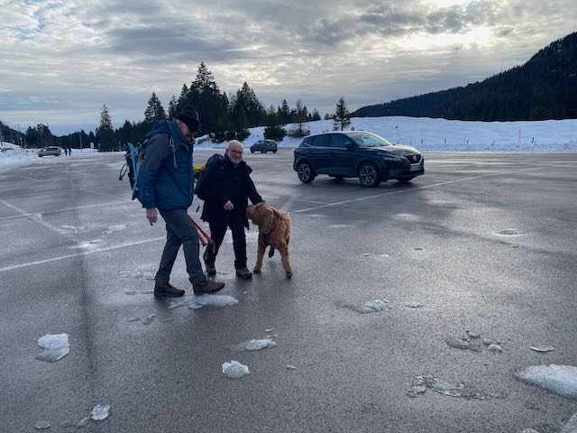
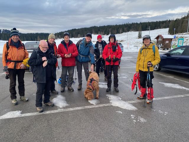
Six participants (Peter T, Mike H, Nathan, Richard, Ross, and Peter S) with 2 dogs (Kobie and Rocco) met at the Col du Mollendruz for the last snowshoe of the 2024-2025 season. Cloudy skies, the cool temperature (3°C) and a brisk bise wind called for extra jackets, beanies and gloves. There was no sign of any snow and definitely no snowshoes or crampons required.
The trail started on the left side of the Nordic sport cabin and headed down the gravel road to the Grand Chardeve (1097m) where it met the path up from L’Isle. After a gentle climb up through the forest we reached the fallen tree for a photo reminder of a previous hike done in Aug 2024.
This time RichardS is with us, as well ats PeterS and Ross.Aug 2024 Hike. We met RichardS at the Chatel Restaurant on the top.
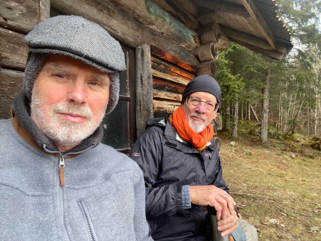
A little further along the contour, a quaint chalet (Chalet des Italiens) with 2 benches prompted a water break. While Peter T and Ross settled in on the benches, Mike tucked into his sandwich thinking it was picnic time.
At the apèro stop with only nuts for apèro
After a short inspection of the inside of the chalet, the group continued up to the junction with the path from Montricher and then onwards to explore the archaeological site of the Chatel d’Arruffens. The panel describes its origins as a fortified refuge which was used between 1500 BC up to 150 AD by ancient Celts during “troubled times” on the plains below. Little remains of the fortifications except a small cluster of “sacred rocks” which resulted in another photo opportunity.
Richard leans on and PeterS inspects the sacred rock – in the SUN !!
After some indecision, a sheltered mound was chosen for the picnic. Before tucking into his ham and cheese wrap from the Volg, Peter T demonstrated use of the new suction device (LifeVac) he had acquired in case of a choking attack. This was quickly followed by the opening of a fine bottle of Cote du Rhone which served to, as it were, wash it all down.
The LifeVac SeminarLunch Spot – PeterT and his ham and cheese sandwich (The Volg Choker) – and his LifeVac
After leaving the picnic mound, the path led up through fields of early white and purple crocuses waiting for the sun to burst into bloom.
Croci
With the bise picking up, there was a brief stop at the cross marking the summit of Chatel 1404m) before descending down into the valley below the Buvette d’Chatel (closed in winter).
Summit photoWe passed this way on 16 Sept 2021
A short uphill led to the Jura Club of Cossonay where the sheltered porch allowed savouring the Corsican cedar brew from Richard’s renowned bottle.
Coffee stop and Richard offers his Corsican Cedras libation (quite nice)
The final stretch tracked down the road to emerge from the forest above the Chalet du Mollendruz (recently closed at the end of the winter season). The group returned to the Mollendruz parking to complete a 4.5 hour tour of 11 km, and ~500m dénivelé.
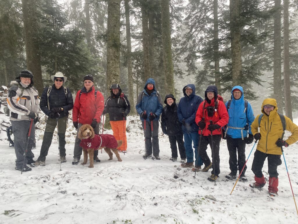
Thanks be to modern weather forecasts ! The Thursday SS hike was brought forward to Wednesday, after the awful forecast for Thursday 19th.
Nine hopefuls turned out at La Givrine (1211m) at 10.15am, plus 2 dogs.
RichardS, Philip, Mark2rs, Mark2ts, Mervyn, Nathan and Onyx, Rob (by train), and me and Kobie.
Rob arrives The team assembles
Being a SnowShoe hike we carried snowshoes (Philip wore his SSs as his sack was very small) just in case. And as it turned out they were not needed – no worries, we burnt off a few more calories.
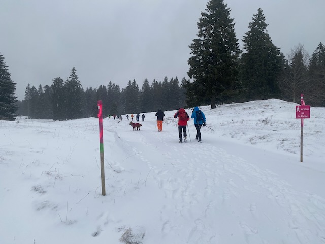
The aim was to set out via the 20 March 2020 SS hike in which we had magnificent powder. This of course was much earlier in the season, and while we had snow there was not a lot of powder.
Making progress on the SS trail with Moos and snowmobile below us.
As we progressed up the a snowmobile came roaring up the track below us with Moos the dog (Kobie’s friend) charging out in front. It was Mariane and her partner who were travelling up to La Genolière for the day.
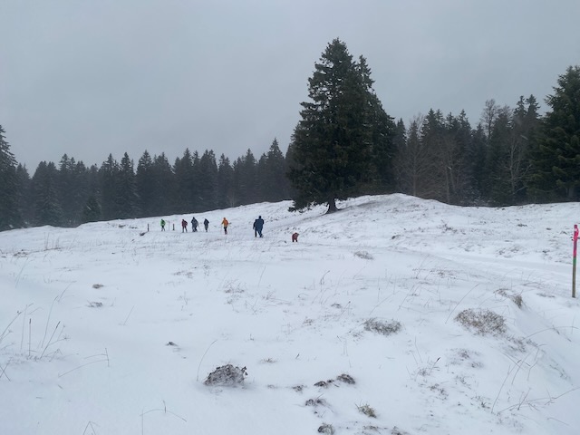
We progressed along the trail NE then NW into the forest emerging into a snowy pasture.
Looking back across the pastureSome sun arrives
We got a bit of sun then spots of rain ! Our trail reached the track leading up to Pré du Four Chalet (1395m) where we stopped for apèros.
We had stopped here at least twice before in the past. Gone were the sofas, but there were two benches and a table. And the sun came out !
Red, White and coffee at apèro time Pré du FourLa Dôle in the distanceMark2rs finds a log to sit on, and at least one of us is on snowshoes.
A quick call was made to Mamac to announced a delay in our arrival, now past 1pm. There was some discussion of whether we men were appreciated enough by our partners.
Time to go and we wended our way down past chalet Les Coppettes leading after 2 km to Restaurant chez Mamac (1196m).
Pano looking up -Mt Sala to the left.The wild boars had been very active hereabouts
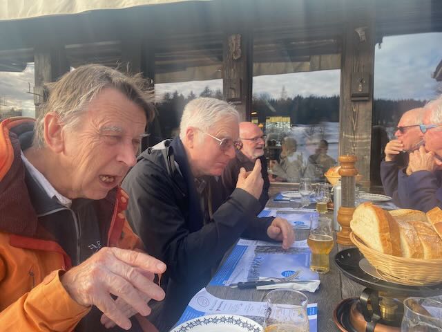
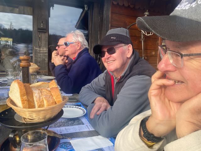
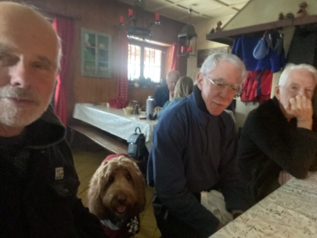
It was so warm that we all decided to sit outside for an al fresco fondu. This was helpful as the dogs could roam about, but it was amazing just how warm it was for 18 Dec.
Beers slaked initial thirstReadying for some Triphon fonduThe TriphonGrand Dahu Croute
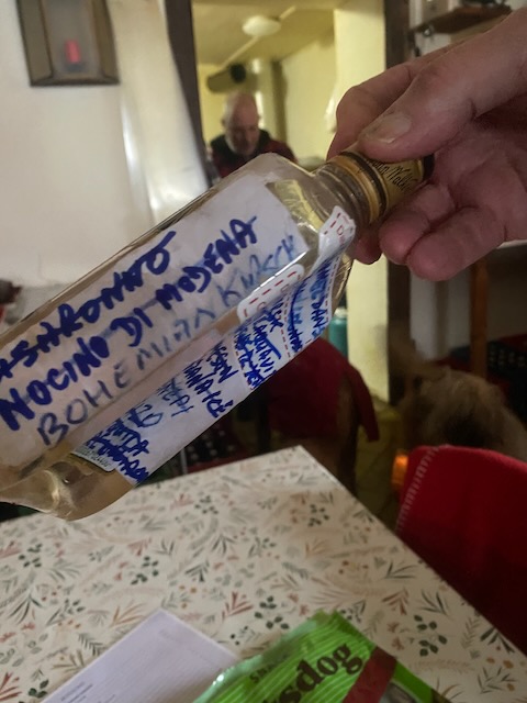
Two triphons and three croutes were washed down with excellent chasselas and a drop or two of Richard’s Bohemian (Rhapsody) kirsch – it being necessary to dunk bread in it before scooping into liquid cheese.
Kobie et moiKobie wants to join inPhilip trying to pack his snowshoes in his rucksack.
It was all too soon over. Much banter, fine cheese good beer, wine and coffee. We had hardly noticed that the temperature had been dropping, until we went inside for the loos.
The team trpeares to leave Mamac
We all agreed that as it was getting late-ish and darkness was coming that we would stroll down and pick up the 3.50pm train back up to La Givrine.
A nice stroll in the snow with good company to end out the year. 7km (about) and 212m (about). Happy Christmas everyone and here’s to safe and fun hiking in 2025.
End of Season hike to La Genolière for a fondu etc in a snow storm.
The weather forecast was dreadful. But was it going to be dreadful enough to hike in ? In other words, cold enough to be a blizzard. It looked to be promising, at least before 3pm when a warming trend was expected to be coming in, so I planned a short hike in a snow storm.
And 11 signed up to join me and Kobie. Mervyn and his mate Steven (soon to join GinClub ?), Nathan, Rob, RichardS, PeterD, PeterS, Drew, Ralph, Philip, Paul.
In order to avoid worrying about sliding down the hill on thick snow in cars after the hike, a train ride up and down from Sus Châtel to La Givrine was proposed, with a hike to La Genolière Buvette avoiding the main trail. Mervyn decided to test his car.
Just before the train arrived (PD out of sight) – note : no blizzard here but Kobie is ready in his winter kit
Rob was to join at the Joy Clinic, thus the remaining 9 and a dog boarded the 10.37 train at Sus C welcoming Rob aboard at the next stop. The blizzard was scheduled to arrive at 11.07 just as we de-trained at La Givrine. It did.
Ralph (Paul is behind), PeterD, Mervyn, Drew, RichardS, Rob, Steven, Nathan, PeterS, Philip
Selfie
As we rose up, tracking the edge of the forest, the intensity of the snowfall and wind increased, at least behind us..
Not the usual trail to the Buvette at all, light snow getting thicker, wind strengthening
We passed through a gap in the wall and traversed a field up to the ski trail ascending the forest.
Up the ski trail in the woods
As time was passing I avoided a slightly longer planned “holiday” route alternative in order to reach the Buvette by noon or shortly after.
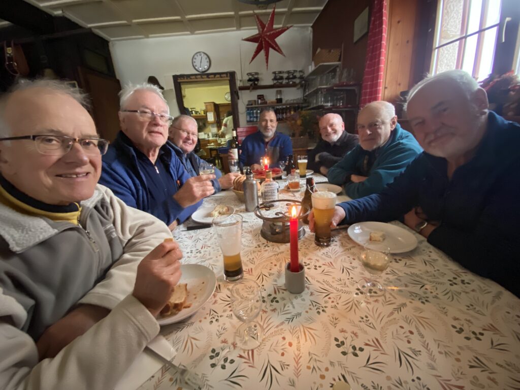
Kobie and Mervyn lead us to La Genolière Buvette almost on time.
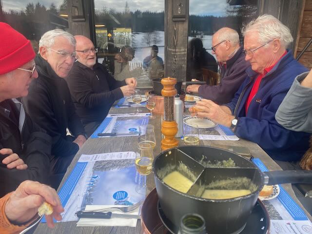
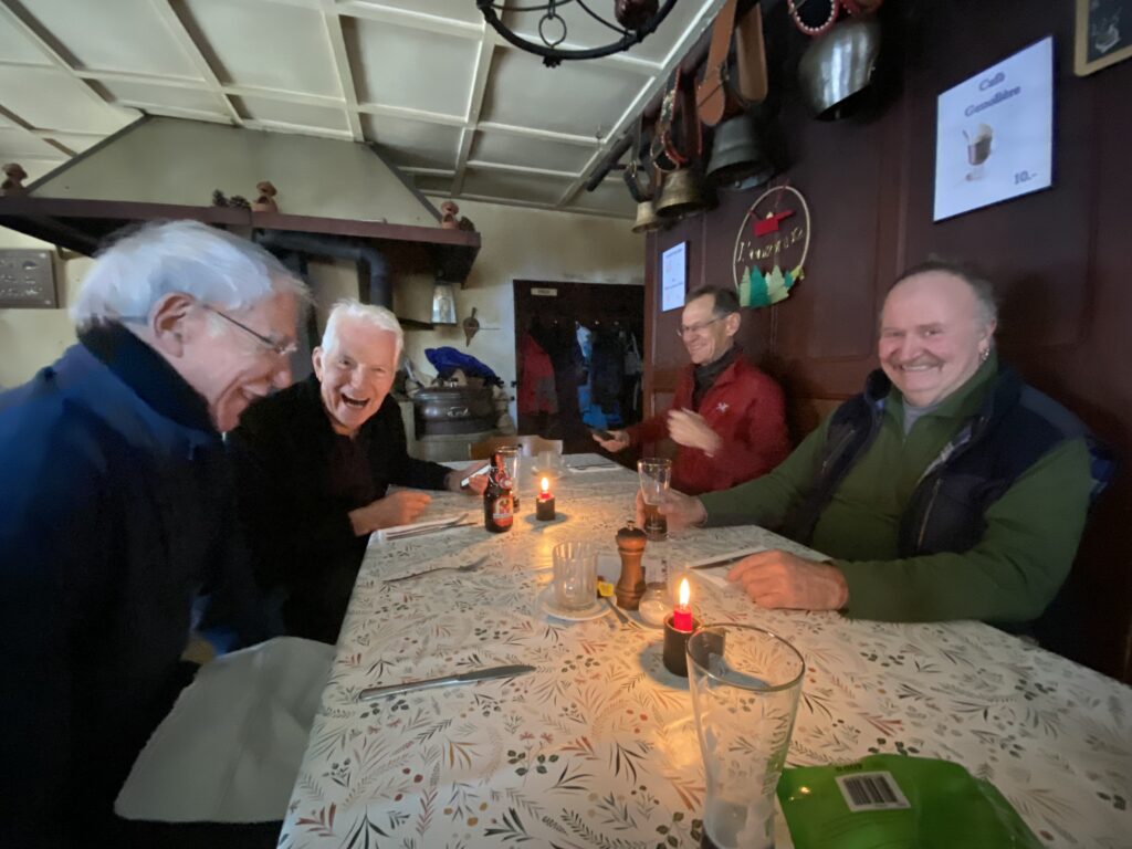
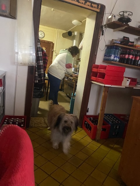
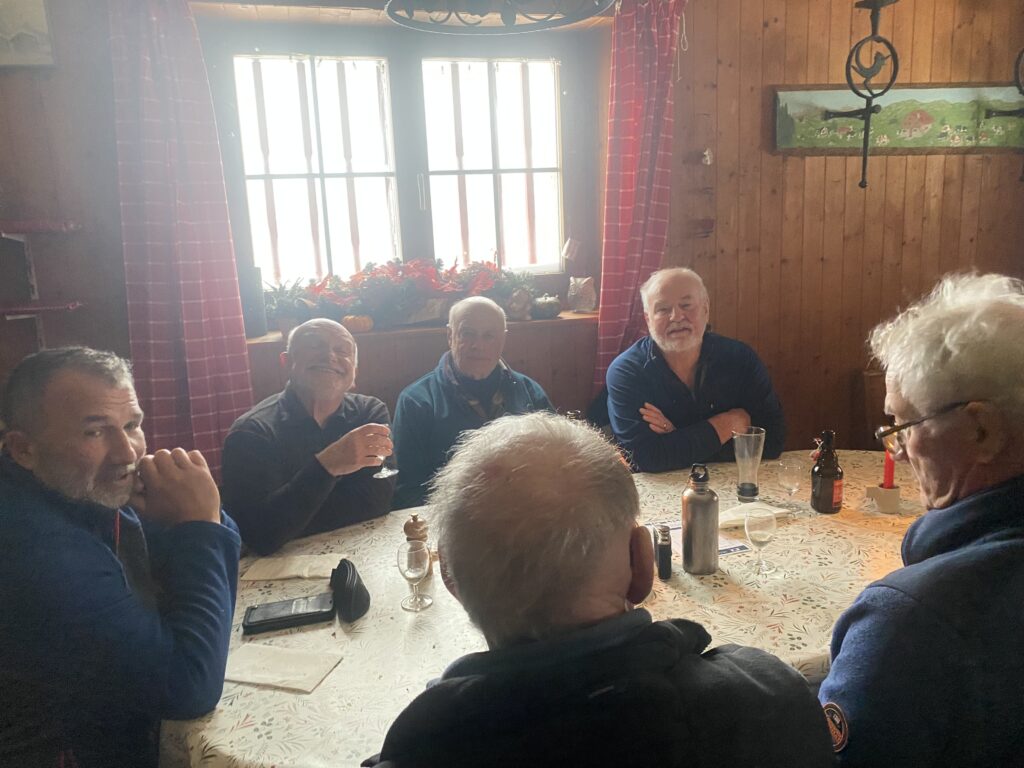
We were soon welcomed inside, the log fire warming the dining room, Moos the hut dog, an old friend, welcoming Kobie. There were no other diners, unsurprisingly. Once inside I sensed that the spirit of the party had suddenly risen somewhat, and we were soon ensconced on two candle-lit tables.
The fondu table AThe en croute and rösti table B
Fine beers were swiftly deployed as was warm bread with mountain cured meat. It was not long before the hot cheese arrived and our table opted for pinot noir as accompaniment. Moos and Kobie feasted on an extensive chew selection.
Moos and our hostessEn croute with egg and pinot noir. Heaven ?Kobie looking hopeful. The other couple behind had arrived with their small hound. No other diners.A happy bunch, fondued-out (or rather in)Moos and me Our thirteenth member
The food was good as was the craic, and the beers and wines. Discussions covered many subjects (including recent lynx sitings) and genres, including a toast (on Table B) to absent friends. They were missing a treat.
Bohemian Rhapsody, easy come, easy go…. any way the wind blows it doesn’t really matter much to me…
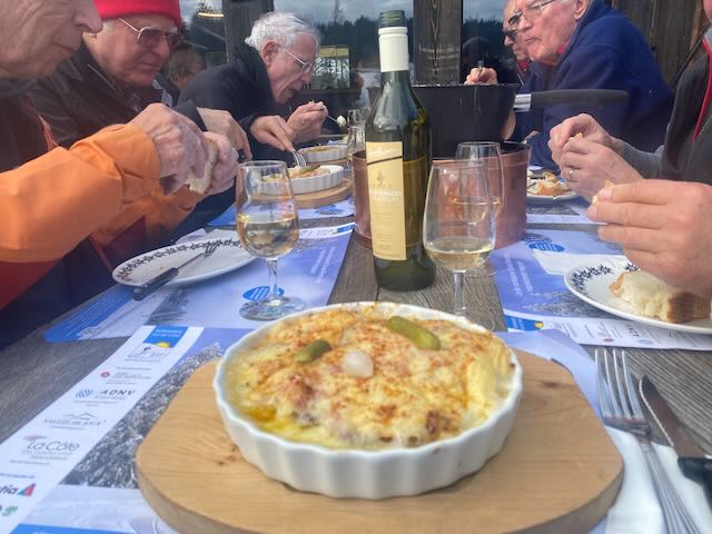
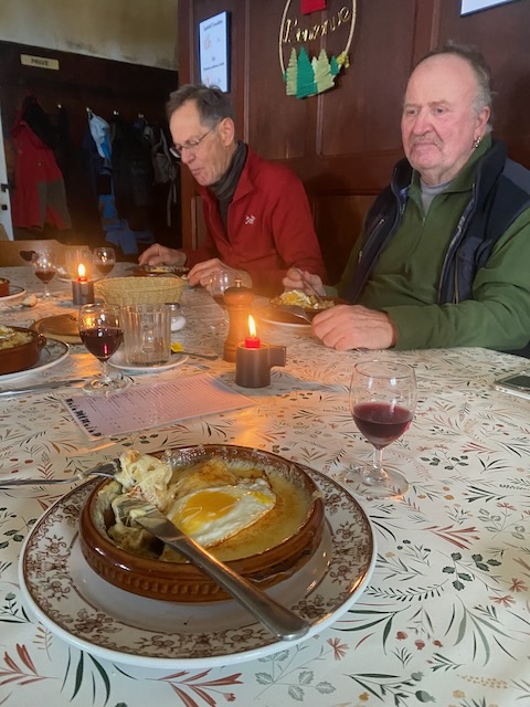
In due course the dessert course arrived, succulent apple tart, not dry like the usual mountain fayre! The Bohemian Kirsch in Richard’s epic bottle, at 90° proof, went down well and was to inure us to the tribulations ahead.
Pie heaven, ending a really nice lunch
With an eye to the time, we needed to leave in order to catch the 14.48 train at La Givrine. Any later and the warming weather would be drenching us. We settled the two bills in cash and made our way out into the swirling snow, now noticeably sleety. Unhappily the way down would be straight into the wind and flying ice.
Starting down, into the teeth of the sleet. We chose to descend the road. It was an easy cop out that I usually avoid. But in this case more than justified.
The hot food and libations meant that the sleet was hardly an issue and we made it down in good time for a farewell to Steven and Mervyn at the station, the train arriving on time, as we knew it would.
Getting tickets and saying goodbye to the car team -I hope they made it home OKPassengers cruising downhill
All went well and on the way down I made a speech bowing out of the hiking lead for 2024 and handing over the reins to our new Snow-Shoe Leader Rob, who had been handed the gavel (or ice pick in his back) by Mark2rs (who is taking on the Walking Lead).
The winter season starts in 2 weeks.
It was a good end – except that we forgot to press the Stop request button before Sus Châtel and had to travel on to the next stop – Genolier. Given that I had just resigned I did not feel responsible. Oh well – more denivellation to record.
In the end I made it 253m and 6.7km. This was perhaps a lunch with a walk, but under the conditions just what was needed to round off the Hiking Year. Oh, and I left my scarf there so Kobie and I will be back for more pie this weekend.
I shall post my record of hikes soon. And organise a lunch with spouses in January. Thanks to all for the fun, and especially to those who led hikes. And thanks for befriending my hound (those of you who did -like all of you).
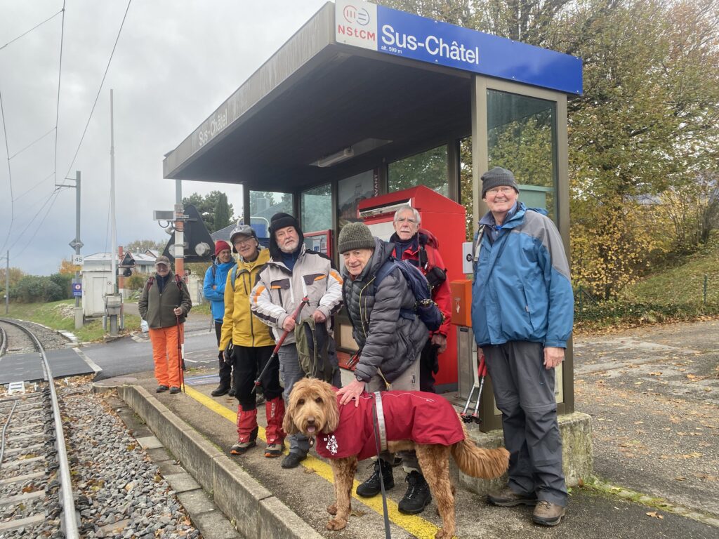
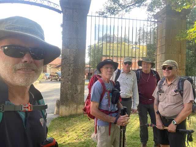
Eight hikers and one dog gathered in the mist at the St Cergue Tancouex parking to catch the 9:58 am train to La Cure: Mervyn, Richard S, Nicolas with Onyx, Nathan, Stephen L, Ivan, David C and Peter S (leader). Around Col de Givrine the little red train broke through ‘band de stratus’ into bright sunshine and the group disembarked at La Cure (1,153m) in a bouyant mood.
Setting off just past Mamac
The trail passed Restaurant Chez Mamac up to Chalet Les Coppetes (1,321m) for a short break before continuing up the valley passed L’Arziere (1,445m) and a righthand turn towards Cabane du Carroz (1,508m). On approaching the cabane, Kobie came bounding down the path with a smiling Peter T not far behind to complete the surprise!
Kobie and Onyx recalibrating
Happiness filled the air as the group broke out sandwiches and snacks with wines from Spain and South Africa topped off with additional spirits from Richard’s bottle and Mervyn’s hip flask.
Lunch in the sun, Stephen, Richard, MervynCarroz Lunch
There was some discussion about the return of President Trump – not predicted by a majority at our monsoon lunch two weeks earlier.
All nine of usPeter and Peter check the route
Reassured that we now had a leader who knew where he was going, we began the descent through the woods to reach the road from La Givrine to Vermeilley. After a short stretch on the road, Peter T turned right onto his secret path that tracked through scattered forest, stone walls and leafy glades to reach a style just short of Cabane Rochefort.
On up the secret pathAt the high point before the Cabane Rochefort
Emerging from the forest passed the A-frame house we were greeted with a broad view of the Leman basin covered in mist with the Alps faintly visible in the distance.
Mt Blanc above the sea of cloud
At the junction to Chalet Derrière, we parted ways with Peter T and Kobie as they turned right towards La Givrine and we continued on to Chalet Devant/Fruitières des Nyon (1,333m).
Farewell PeterT and Kobie
After hearing we had come from La Cure, an elderly French couple offered up the bench in front of the wall which was a clear sign that we needed another break. The impressive views were complemented with coffee (absent milk or sugar) and chocolate McVitie’s.
At the wall bench, Fruitières de NyonView to Barillette and La Dôle
After a short stretch on the path down towards La Borsatte, we were back in the mist which persisted all the way back to the Parking lot at Tancouex to complete a hike of 15 km with denivelation of 493 m. Peter T with Kobie clocked 12 km and 425 m denivelation on their tour from La Givrine to Cabane du Carroz and back.
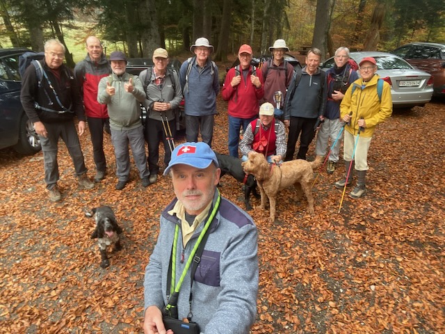
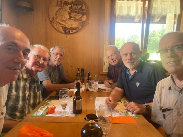
Twelve signed up for this hike, with 4 apologists. Attending in no specific order:-
Mark2rs, Mark2ts, PeterS, RichardS, Nathan, Rudi, Stephen, Ralph, Philip, MikeH, Nicholas, me (PeterT), with dogs, Onyx, Rocco and Kobie. A fine turn out for what I had promised as a moderate hike (not much over 400m ascent) in the hills above Bassins.
In the event it was 12.25km and 444m denivellation (my watch said 416m).
We met at what3words ///revolting.though.aquatics at 971m and I wondered if this would put a curse upon us; would it rain (again) on our parade?
We all met up on time at the revolting car park above Bassins. It was good to see Stephen back with us, as well as Rudi and RichardS (albeit he had just led the Lac de Joux hike).
Team photo at the start
We headed off on time and set course across an open and level field, the wire fencing having been removed after cows had been descended. Clearly Onyx was going to run and run, while the other two hounds were slightly more sedate.
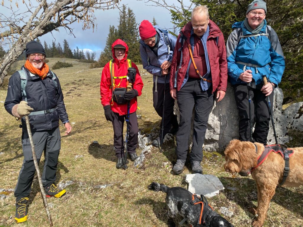
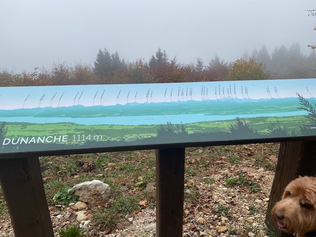
We ascended the grassy track and then the leaf strewn trail up to La Dunanche overlook, by the Toblerone line. The view from here is normally magical. Today we were in the cloud.
The “view” at DunancheThe bottle of many exotic fluids returns
We continued on up and towards the outlook at Le Planet. Amazingly the skies cleared and we came out above the cloud, albeit not exactly into the sun. The wooded path takes a steady rise at the edge of the scarp up to the outlook.
Richard going stronglyAt the overlook at Le PlanetA better view here. But this is not the lunch stop
Several questions were raised about whether this was the lunch stop. But it was still before noon so we had to continue onwards and upwards.
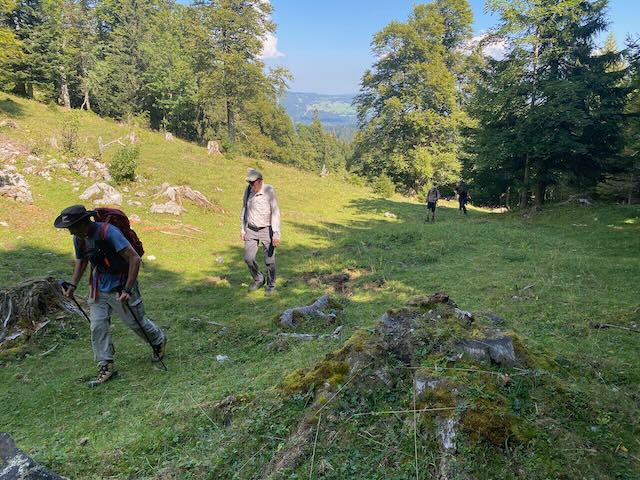
Up into the open and some sunshine, and cowsNo sign of rain…Some easy rambling
We soon reached the open fields above Le Planet and passed some cows and a stile following which we headed towards a forest road.
Kobie waiting for us – before the cloud came back
Mike was supportive – “yes it’s a good idea to keep going a little so that we can lunch when the sun comes out fully”.
It was not long before we were enveloped in cloud again and after a short section on a road we headed gayly off left into the forest. This was an error of map reading by the leader (who actually had a paper map – but it was fairly large scale). This trail gradually petered out as PeterS and I went ahead into the uncertain undergrowth. Happily PeterS had a phone map with satellite GPS locationing and we managed to navigate out of the thick forest onto a logging trail. Unhappily this trail was covered in a thick layer of broken and unrolled rock. A kilometre of this awful surface followed.
On the rough trail – like the Road of Bones (good track by rock band I.Q.)
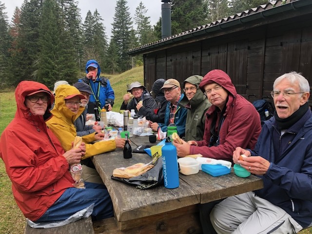
Happily we exited onto a smooth straight trail heading towards where I knew there would be a bench/table/bench by a hut for us to have lunch. It was at this point that it began to spot with rain. It was 1.15pm or so.
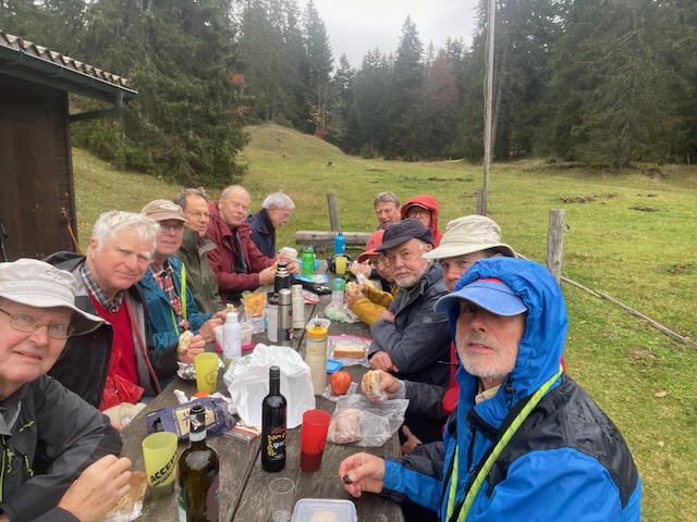
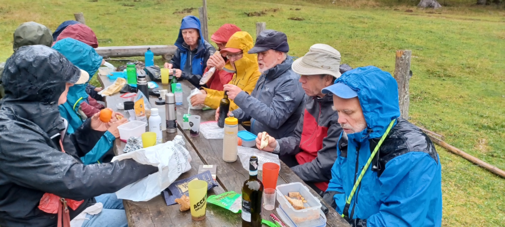
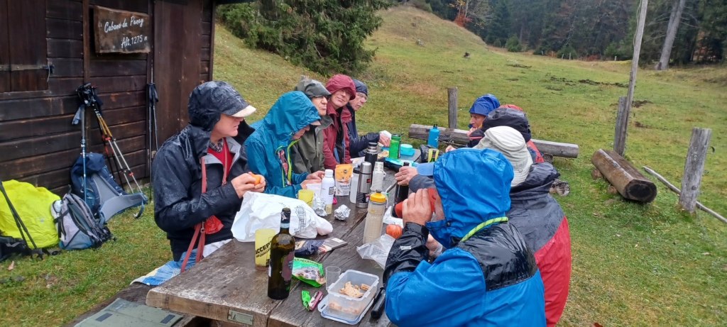
Starting lunch in some drizzleStill only drizzle
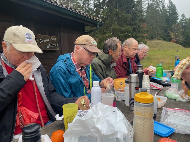
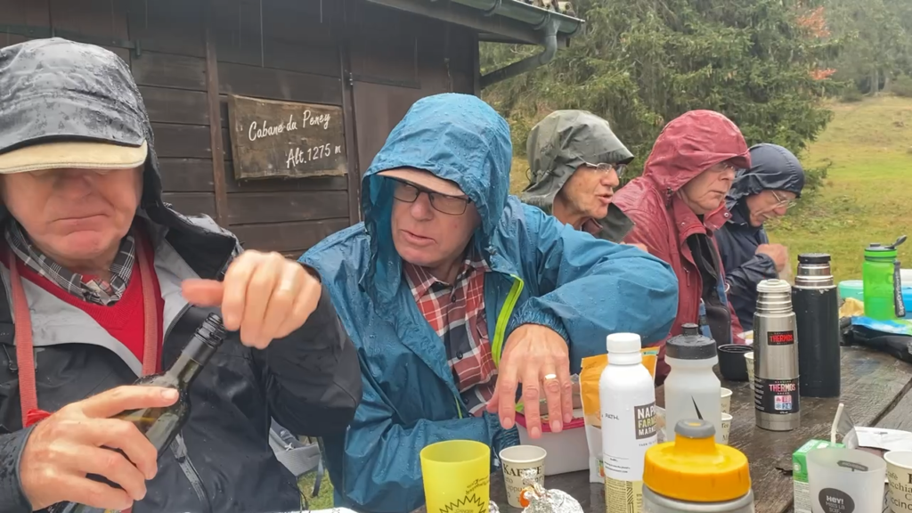
We were at the Cabane de Peney at 1275m. 6 aside on the big table. Some Valpolicella and Swiss wines were offered. Two of our team were on the wagon! Others were abstaining as per their religion (etc). But it became clear that this was to be no dry lunch, as the rain became steadier.
Rocco robs Onyx of a chewSome excellent stiff upper lip exhibitedView from the N end (M2rs)
We were so enjoying the lunch and associated banter that we forgot to cover the subject of Scottish independence, but we did have a poll on who was going to win the US election: Harris came out on top beating Trump 6 to 4 with 2 abstensions.
The rain begins to descend – Mark offers coffee
Gradually the rain grew heavier and our drinks were becoming diluted. Certainly I can recall no previous lunch where we had sat out in such conditions. Happily it was not so cold. But not too warm either.
Ths was the rain that hit us, heading in a NE direction. Unlucky lunch timing…
It was time to move on and escape back down to the cars.
Leaving the Cab de PeneyKobie – already soaked – takes a dip
The escape route was easy enough – via the campsite (Mervyn knows), and down the road back to the cars. Fortunately the rain begain to ease and the journey back down was not unpleasant.
Back at the cars, almost sunnyThe Fall
A memorable hike, perhaps for a wrong reason, but good fun despite revolting aquatics – it’s just so good to be out in the fresh air enjoying nature with chums and hounds.
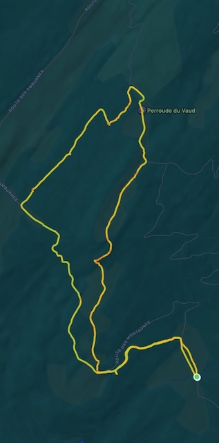
Our trail, anti-clockwise lunch just above the left elbow
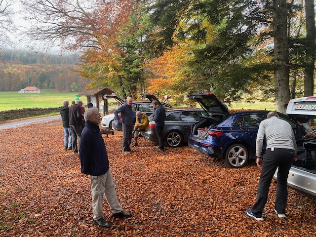
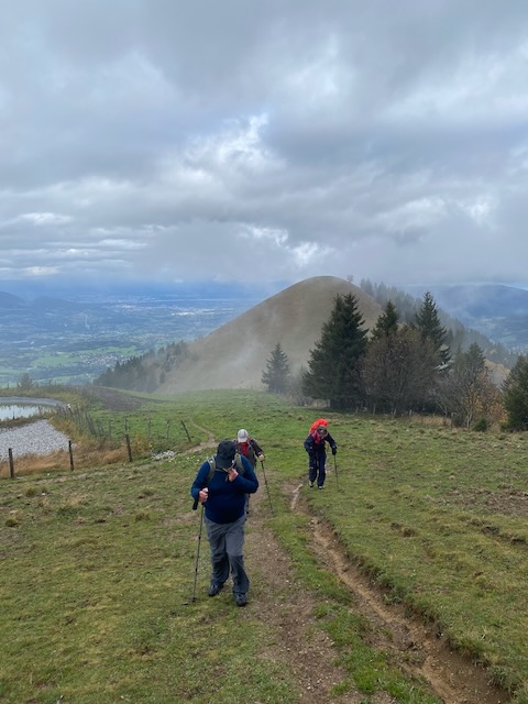
With apocalyptic weather events currently affecting much of the planet it might seem churlish to be concerned about our local météo. But there were some apprehensions expressed about the conditions we could expect on our planned ascent of the mighty Môle. However, with Ralph’s confident prediction of a temperature of 23°(where?), Mark 2Ts, Mervyn, Nathan & Ralph confidently set off from Divonne at 9am in Mark’s new e-car to rendezvous with Ross and Peter T, plus faithful four-legged friend, at the start of the hike.
After a few minor detours, but at the last minute wisely excluding the option of going via Bourg en Bresse and Lyon, we duly arrived to be met by a slimmed-down, shaven Kobie bounding down the track to lick us all. The two-hour ascent from the parking at Chez Béroud 1160m via Plan Meulet to the summit at 1863m was completed in under the signposted 2 hours.
Hard to remember the early sun
It began in sunshine while we traversed the forest but by the time we emerged above the tree line the clouds were gathering and the mountain tops were frustratingly obscured.
Ralph looked happy, before we got to the steep bit
The path became steep and the heavy recent rain had made it muddy and slippery. It was reassuring to know that there was an alternative route down.
What – up there ?Just before the trail really got steep
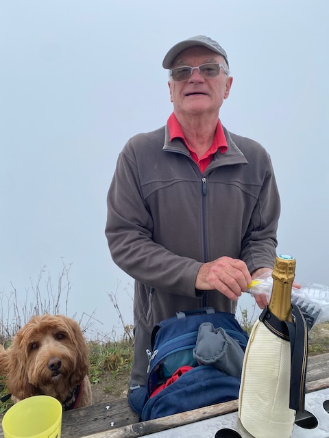
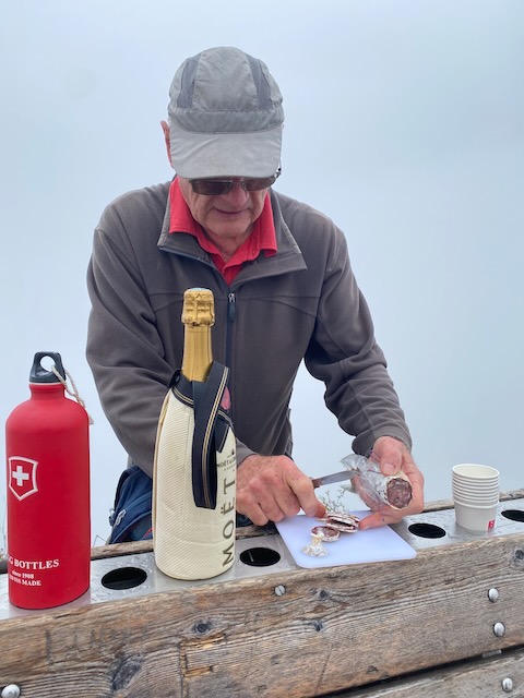
At the top, wearing our warm outer-layers and gloves (it couldn’t have been much above freezing) we duly celebrated with champagne, chilled gamaret and warming Knockando.
Getting ready for the celebration – Mervyn’s n’th birthday!!! (where n=x+3)Cutting the hostage, er, sausage..
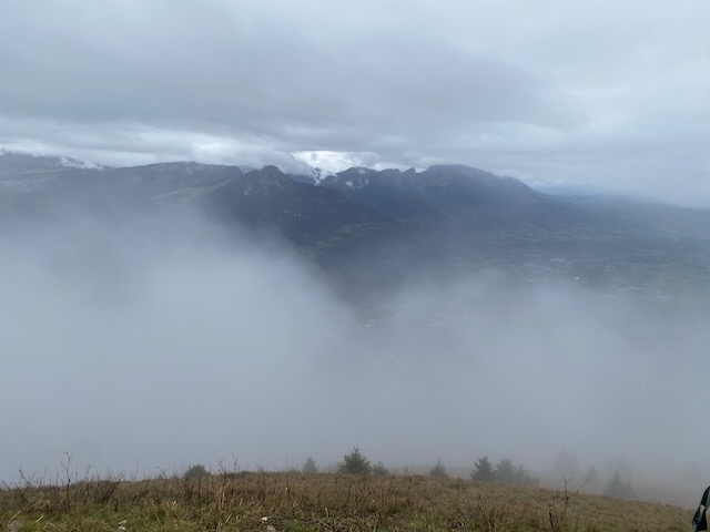
Absent friends amongst you readers were toasted. The promised full 360° panorama was not to reveal itself on this occasion, much to the chagrin of the two Môle virgins amongst us, but we did get fleeting glimpses of the some of the peaks and the lake. Another time?
A view from the topSummit party
The threatening shower accelerated our picnic and we quickly descended to Le Petit Môle, where it was sunny, tantalizingly revealing the peak we had just left. No-one was keen to reclimb 330m!
Time to go downFrom Le Petit Môle – looking back upSun shining on the righteousANother Mervyn Birthday Bash. Note – sun on the summit …
The easy route back down became a stony track and we were reacquainted with the cars within an hour, all the while enjoying good views of the Arve valley well below.
I for one enjoyed the day immensely.
(PeterT Notes:- A great day out, pity the weather was not great, but it could have been worse. A really tough last few hundred metres, my heart rate went higher and for longer than any on other hike in the last 4 years…)
The previous Thursday had been a washout. So I suggested a Tonic (interim) hike to fill in before the next full hike.
As such this was to be a moderate (Tonic) hike, in part requested as such, and also because I had a bad back (after a Kobie-related incident) I wanted one too.
So a short hike in the forest above Gilly was planned, taking in the Combe de Bursins and the Sentier de Chatagnerie.
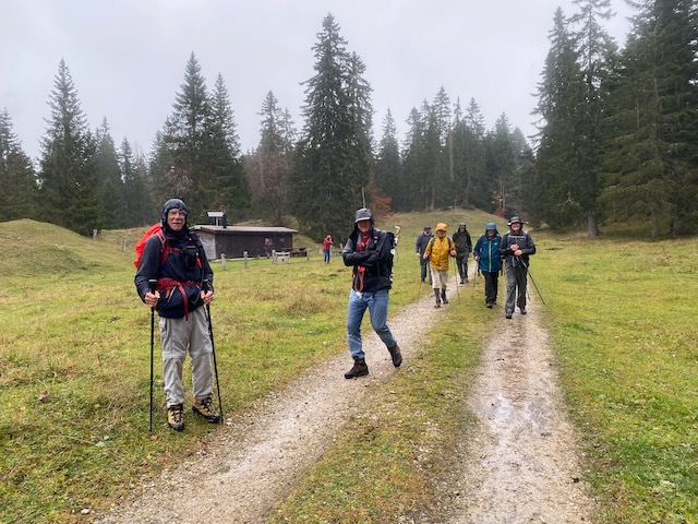
Ten turned out: Mike H, Mervyn, David, Ross, Richard W, Philip, Ralph, Mark2rs, PeterS and me, with two dogs Kobie and Rocco. The Bise was starting so we had bright clear weather and were generally sheltered by the forest.
From the initial parking, at 10 am, a 100m ascent led to the Molard Motorway, a forest track recently brought into top condition by some organisation with too much money. After about 30 minutes we reached a road coming down, and it was then I realised that very likely we were going to reach the lunch spot too early. Nothing for it but to make the hike a bit less moderate than planned, and up the road we went. It was not long before we reached the top where a fine view gave excuse for a photo opportunity.
Nine and two dogs taken by meNine and two dogs taken by Richard, Ralph and Ross highlighted
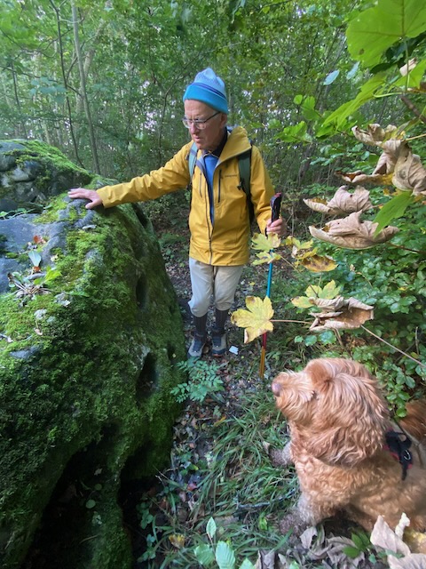
From this vantage point there is a great view up to the Jura, with Arzier in full view. Leading back along a forest track we passed the erratic boulders deposited by the Rhône Glacier 10,000 years ago. In particular the Pierre à mille trous.
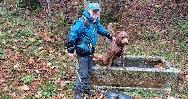
Philip and Kobie inspect the holey boulderThe track by the erratic, with some erratic hikers
The wind was blowing a bit as we descended a ridge on the track, and soon we had a fine view over the Lake, with some believing the the Jet d’Eau was running, but I could not make it out.
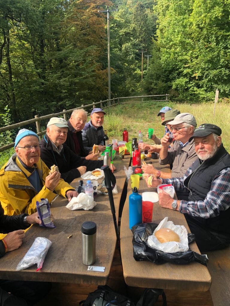
A lady walking a horse overtook us (sic) before we descended a short way down to a forest track that took us to the Chataignerie Trail. It was a short pair of up and downs to the lunch area reached at an acceptable 12.15 or so.
Mark and Richard – dog lovers both
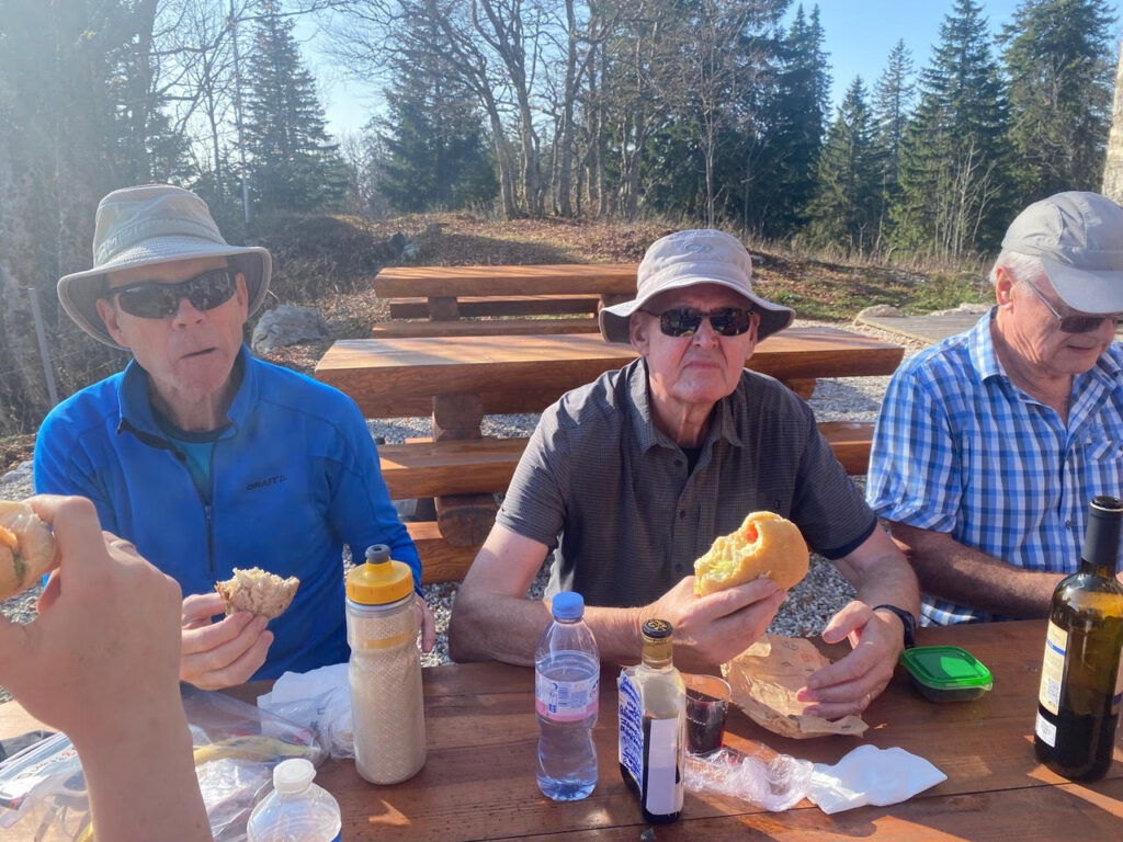
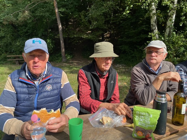
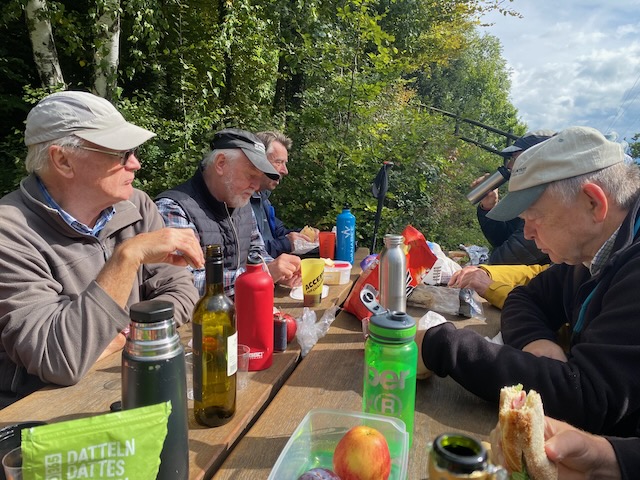
Ten of us fitted around a picnic table with built in benches. Any more of us and we would have had to spread to another table. The sun shone, we were out of the wind, the craic was good, and my sandwich was too. Reds from Sicily and France helped conversation flow (too many subjects to relate). We drank to absent friends, I listed out all the apologies I had received, mostly substantive, especially as this was only a Tonic. Dogs were reasonably behaved, well, just.
David PeterS MervynMervyn Ralph Mark RichardRalph Mark Ross Philip Richard MikeUsing my selfie stick – clearly the wine was helping my backAnother stick shotA Mark2rs shot
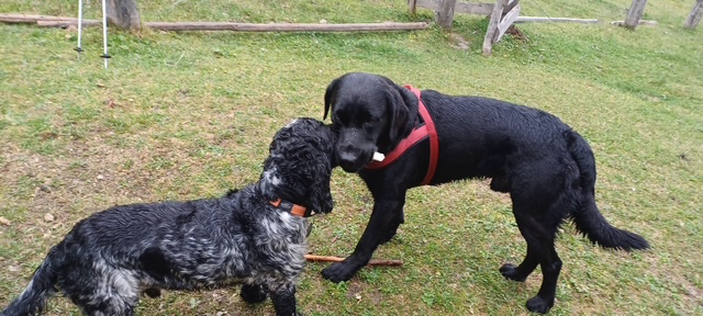
Note – no dogs appear in the lunch photos !
Mervyn brought out his flask of Scottish fluid, but sadly M2ts was away in Blighty and there was no coffee. However people seemed happy and after it was all over we headed off down, then back up, to the cars, only about 20 minutes or so from the lunch stop. David suffered a slight knee problem on a descent – let’s hope he gets fully fit again soon. Otherwise we came through unscathed.
8km and 370m accomplished (as opposed to the 5.65km and 250m originally planned). Next hike next week, less moderate, perhaps.
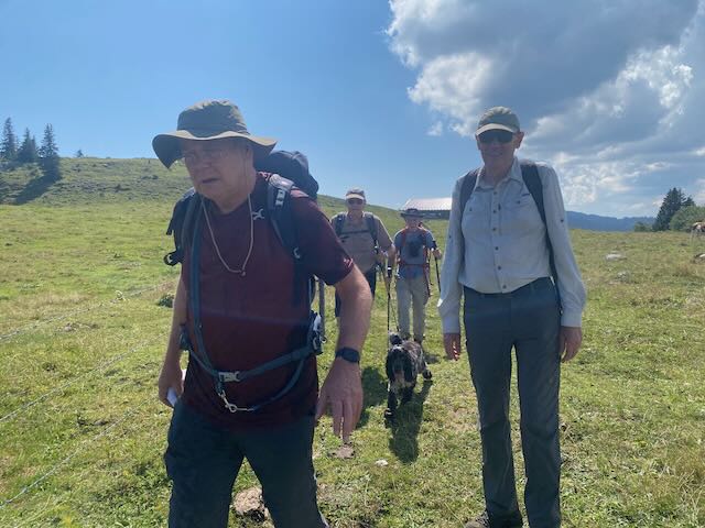
The good weather in August continues so it was time to head up the Jura again from L’Isle (previously 16 Sept 2021), this time without cold rain and hypothermia.
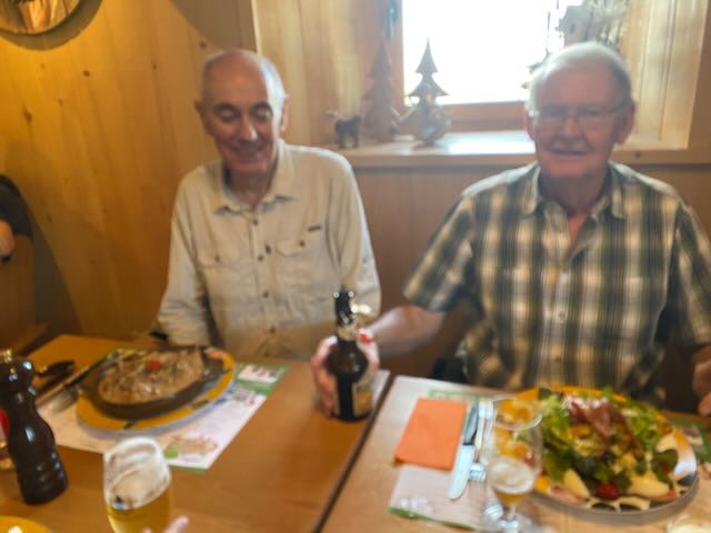
Attending Messrs Hempstead and Rocco, Mark2ts, Finkelstein, Neivens and for lunch only, Mr R Saynor. No Kobie, as I had booked a table in the Buvette de Châtel for lunch.
This next bit was copy pasted from the 2021 Blog.
We assembled à l’heure at 10 am at the parking at the station at L’Isle, a place worth visiting for its magnificent chateau. First then some culture:-
“Also known as the “Petit Versaille de l’Isle”, this magnificent château was built in 1696 by Charles de Chandieu, a Lieutenant General in the Swiss Guard. It was the first regional monument of classical architecture.
Built in 1696 by Charles de Chandieu, the Château de l’Isle is a monument steeped in history. Originating from around 1700 during the classical era in France, this building greatly resembles that of the architectural movement of the time, where the Château de Versailles was built.
The, “La Vénoge” river has enabled the Château to benefit from a beautiful French garden, as well as a river basin bordered by two tree-lined paths. At first the Chandieu family lived in the old residence until the end of the 18th century. François Louis Roulet of Neuchâtel was the first to live there in the 19th century, and then it was handed down through marriage to the Cornaz Family of Montet Cudrefin.
In 1876, the commune of l’Isle bought and restored the château. Today it houses the municipal department of housing and classrooms. Since 1941, the château has been a listed building.”
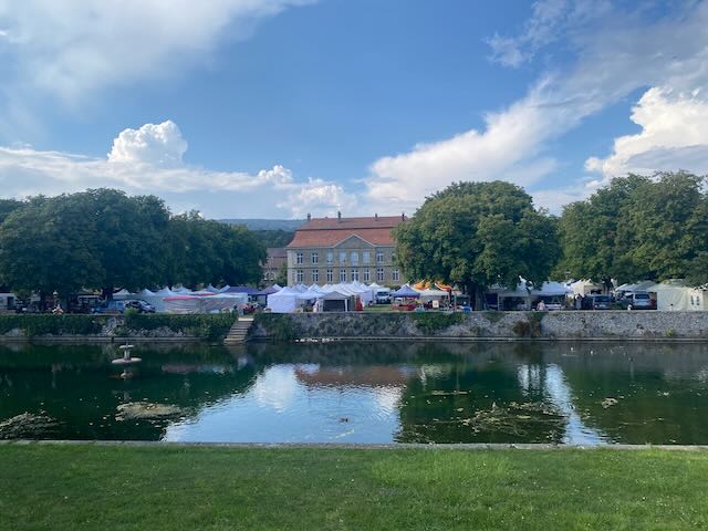
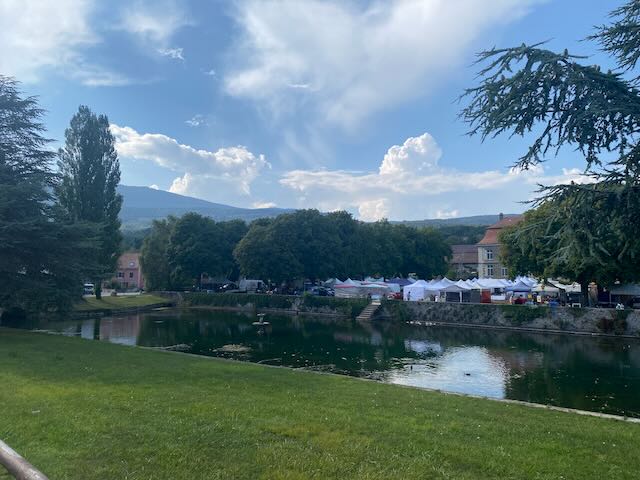
Starting team inside the Château grounds.The Château after the hike, with Brocante show evident
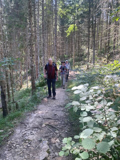
It was indeed going to be a warm day, and for a 750m denivellation, we were going to sweat our way up. Happily most of the ascent was in the shade.
We passed by the château and it’s about-to-open Brocante in the grounds, some old and slow moving items there too.
The early part starts from 660m gently and gradually rises up, after 7.5km to the summit plateau. A long hike that for opposite reasons from 2021 we found quite trying.
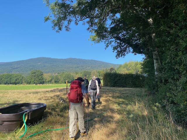
Starting out up past the Source of La Venoge. Aming for the green hilltop.Passing natural hazards
We were making steady progress and not hanging about at all. In fact we arrived 30 minutes before the 1pm time of the table I had booked.
On the way up we traversed a short stretch of road, carrying a number of cars full of folk going up to eat at the Buvette. It was going to be busy up there.
The final field, Andrew going strong this time
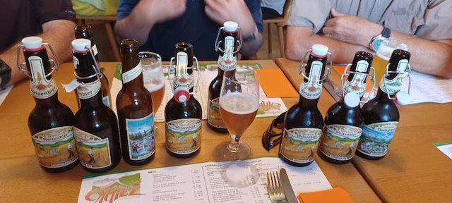
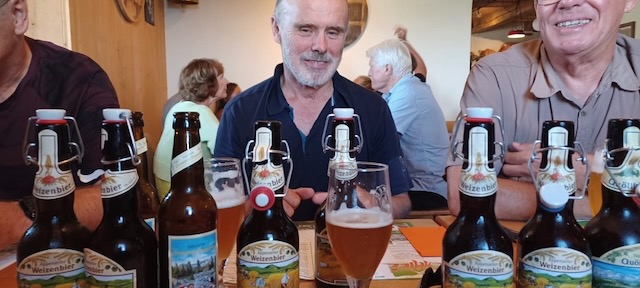
At the Buvette (1395m) we were uplifted by the beaming smile of Richard who had been hoping to hike down to meet us, and only slightly disappointed that we were early. No worries we were soon ensonced at a corner table and supplied with beers from the friendly waitress.
Refills arrived before the food – Service dix points !!!Leading to happily rehydrated GintlemenExcellent cuisine too!Wet shirt brigade, we were soaked – slightly differently from the soaking in 2021Healthy choice lunches for someUsing my selfie stick, from Temu
The food was great (well my En-croute-with an egg was), the beers too, and we had no need for desserts, only coffee. Some chf 35 per head – good for Switzerland.
As usual, apart from remembering absent friends, my recollection of the lunch conversation ended up limited – and realising this would be the case I dictated this wording at the time :-
“Swiss Chateau theory and GINI coefficients (Mike), death, electric cars (Mark as his Audi has pegged out), cancel (actually Cancer – thanks Richard), Portugal, Temu, female Dentists and their warmth (patients with bald heads), no Scottish Independence, dental appointment as an excuse, Friday, excuses, excuses excuses, excuses, excuses excuses Mark Warren (?) excuses (sic).”
Also how a certain member’s spouse had been locked out of her car at Signy Centre owing to ignoring the “CHANGE THE BATTERY KEY” for several weeks, and the best ways to solve the problem, after the event.
All too soon it was time to descend and we said our farewells to Richard who was heading down to the Lac de Joux.
We set compass for the north and passed by a herd of cows, unnerving Rocco (who had been very well behaved at lunch!).
Starting down and cows ahoyHeading towards the Combe à BergerRocco leads the way down the Combe
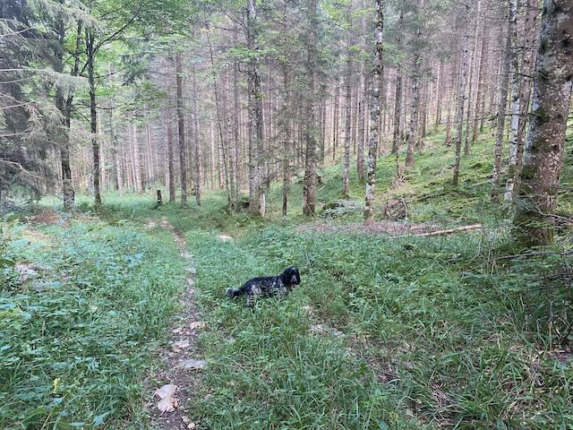
After a couple of kilometres we headed off down and right. A sketchy section on our maps showed no path connecting two tracks and the way we wanted to go. Nathan’s simple advice was “wing it”, so we did and it worked fine. Down in the clearly unfrequented Combe à Berger a series of quite remote trails led in 5 or 6 km to the outskirts of L’Isle reached shortly thereafter. Just before the edge of the forest it began to rain heavily and we donned jackets. We had heard the roll of thunder several times on the way down, but it seems back over the Lac de Joux area. The rain stopped after 2 minutes.
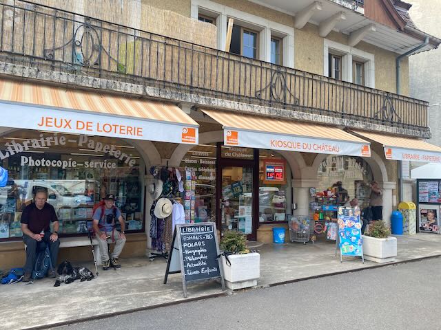
Some of the party (not Rocco) were now showing signs of being the worse for wear. Were we missing the digestifs (RS had some but we passed on it after our lunch) ? Last time the descent passed quickly. It had been 16.5km in total and 750m up and down in some heat, happily a bit more shaded in descent. We found salvation at the kiosk next to the château with cokes and ice creams.
Recuperating at the KiosqueWe had missed the storm (almost anyway)
On the way home (thanks Mike for driving) the temperature showed 33C on the autoroute. I was home by 6pm.
A long and steady hike but take plenty of water in hot weather, and good rain gear in poor weather…